
| Memorials | : | 5 |
| Location | : | Johnsons Grove, Crockett County, USA |
| Coordinate | : | 35.7645470, -89.1824440 |
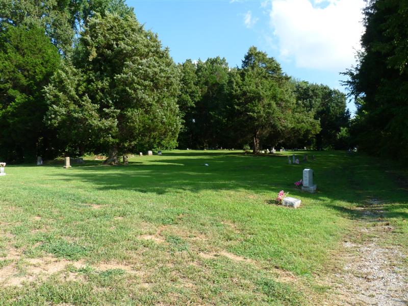
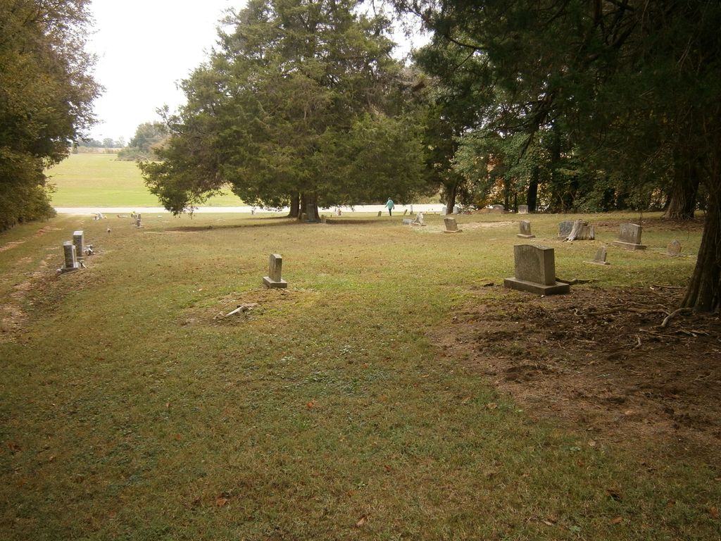
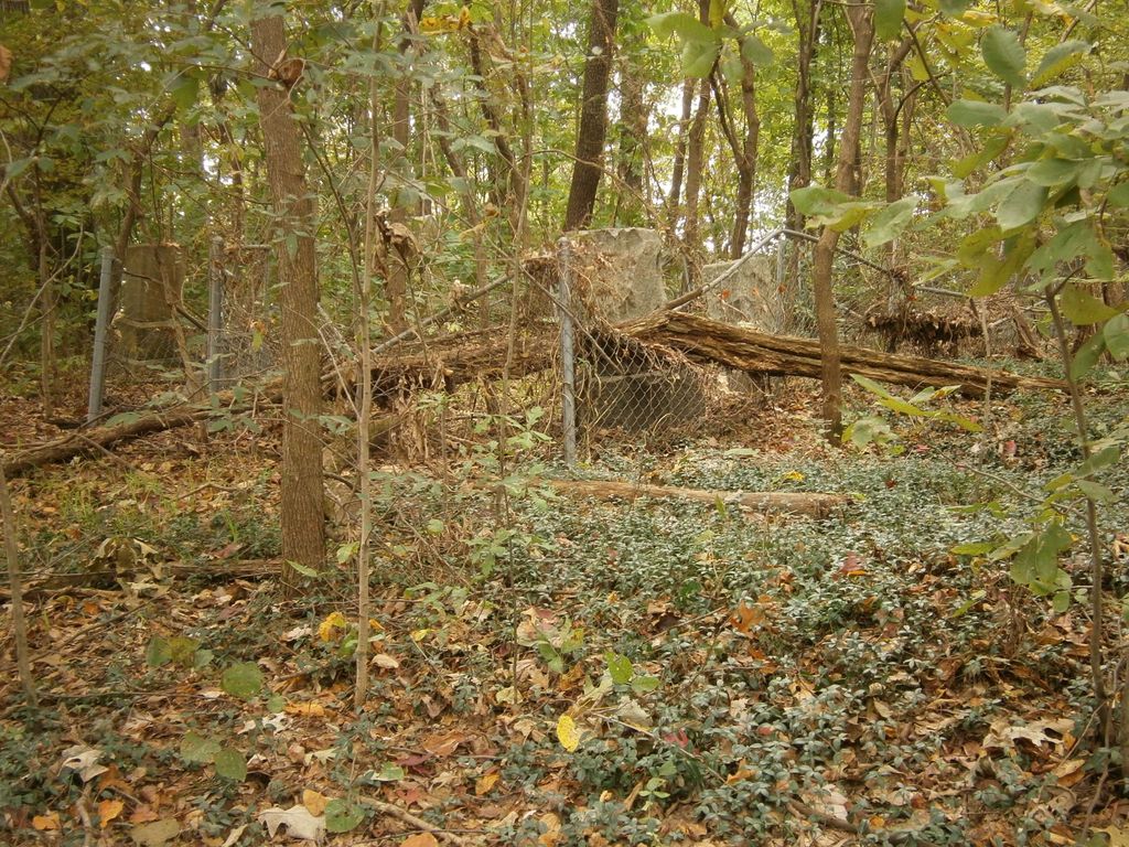
| Description | : | From the intersection of Egg Hill Rd. & US-412, west of Alamo, travel southwest on Egg Hill Rd. for 2.3 mi.; turning west (slight right) onto Johnsons Grove Rd., going 0.5 mi.; turning south (left) into the gravel driveway on the western border of the cemetery, as notated on USGS topo maps. Old Liberty Cemetery is located in the Johnsons Grove Community, off Johnsons Grove Rd. There are two separate cemeteries, being Old Liberty, and Liberty. The Old Liberty Cemetery is the African-American section toward the northern end of these cemeteries, receives some maintenance & is... Read More |
frequently asked questions (FAQ):
-
Where is Old Liberty Cemetery?
Old Liberty Cemetery is located at 5585 Johnsons Grove Road Johnsons Grove, Crockett County ,Tennessee ,USA.
-
Old Liberty Cemetery cemetery's updated grave count on graveviews.com?
3 memorials
-
Where are the coordinates of the Old Liberty Cemetery?
Latitude: 35.7645470
Longitude: -89.1824440
Nearby Cemetories:
1. Liberty Cemetery
Johnsons Grove, Crockett County, USA
Coordinate: 35.7635540, -89.1823900
2. Buford Family Cemetery
Alamo, Crockett County, USA
Coordinate: 35.7612160, -89.1850940
3. Edwards Cemetery
Johnsons Grove, Crockett County, USA
Coordinate: 35.7627700, -89.1724300
4. Robertson Cemetery
Johnsons Grove, Crockett County, USA
Coordinate: 35.7578011, -89.1735992
5. Castellaw Cemetery
Johnsons Grove, Crockett County, USA
Coordinate: 35.7597900, -89.1964710
6. Whitaker Tombstones
Johnsons Grove, Crockett County, USA
Coordinate: 35.7815350, -89.1881060
7. Frank Varner Cemetery
Johnsons Grove, Crockett County, USA
Coordinate: 35.7638070, -89.2057050
8. Prescott Cemetery
Alamo, Crockett County, USA
Coordinate: 35.7749120, -89.1589760
9. Kail Cemetery
Alamo, Crockett County, USA
Coordinate: 35.7708070, -89.1552290
10. Johnson Family Cemetery
Johnsons Grove, Crockett County, USA
Coordinate: 35.7554260, -89.2085790
11. Whitaker Cemetery
Johnsons Grove, Crockett County, USA
Coordinate: 35.7865270, -89.1996220
12. Hughes Cemetery
Johnsons Grove, Crockett County, USA
Coordinate: 35.7708960, -89.2150330
13. Harris Grove Cemetery
Alamo, Crockett County, USA
Coordinate: 35.7780850, -89.1434760
14. Poston Field Cemetery
Maury City, Crockett County, USA
Coordinate: 35.8019920, -89.1964960
15. Norville Cemetery
Alamo, Crockett County, USA
Coordinate: 35.7618900, -89.1326900
16. Smith Cemetery
Cairo, Crockett County, USA
Coordinate: 35.8072720, -89.1737770
17. Cross Road Cemetery
Crossroads, Crockett County, USA
Coordinate: 35.7434010, -89.1326790
18. Old Hickory Cemetery
Maury City, Crockett County, USA
Coordinate: 35.7949780, -89.2246320
19. Manning Cemetery
Maury City, Crockett County, USA
Coordinate: 35.7949240, -89.2246940
20. Branch Cemetery
Frog Jump, Crockett County, USA
Coordinate: 35.7727540, -89.2383390
21. Jennings Cemetery
Alamo, Crockett County, USA
Coordinate: 35.7684510, -89.2401620
22. Pond Creek Church Cemetery
Alamo, Crockett County, USA
Coordinate: 35.8111000, -89.1669006
23. Bridger Family Cemetery
Crossroads, Crockett County, USA
Coordinate: 35.7364450, -89.1329660
24. Tempy Walker Tombstone
Alamo, Crockett County, USA
Coordinate: 35.8130500, -89.1716900