
| Memorials | : | 0 |
| Location | : | Shawnee, Johnson County, USA |
| Coordinate | : | 38.9951973, -94.8359833 |
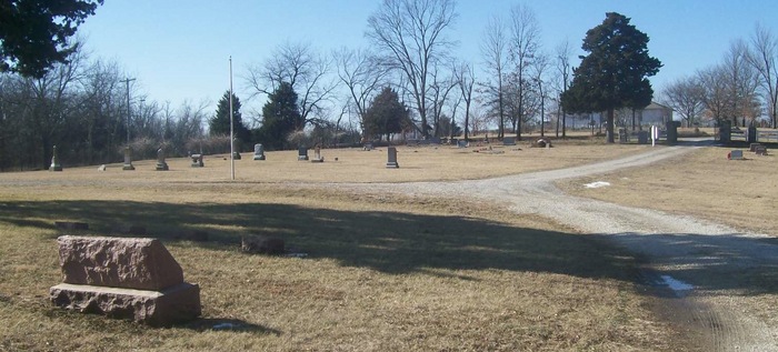
| Description | : | Directions: From I-435 take 87th Street west past Shawnee Mission Park. 87th curves to the northeast and becomes 84rd Street. At Monticello Road turn north (right). At the end of Monticello Road turn right, then bear left. Turn right (east) on 73rd Terrace. The cemetery is at the end of 73rd Terrace. |
frequently asked questions (FAQ):
-
Where is Old Monticello Cemetery?
Old Monticello Cemetery is located at Shawnee, Johnson County ,Kansas ,USA.
-
Old Monticello Cemetery cemetery's updated grave count on graveviews.com?
0 memorials
-
Where are the coordinates of the Old Monticello Cemetery?
Latitude: 38.9951973
Longitude: -94.8359833
Nearby Cemetories:
1. Shawnee Mission Memory Gardens
Shawnee, Johnson County, USA
Coordinate: 38.9923210, -94.8573914
2. Monticello Union Cemetery
Shawnee, Johnson County, USA
Coordinate: 38.9920311, -94.8617020
3. Murphy Cemetery
Lenexa, Johnson County, USA
Coordinate: 38.9709282, -94.8816986
4. Boles Cemetery
Wilder, Johnson County, USA
Coordinate: 39.0292168, -94.8723450
5. Smith Burial Site
Lenexa, Johnson County, USA
Coordinate: 38.9319730, -94.8530820
6. Cedar Junction Cemetery
Cedar, Johnson County, USA
Coordinate: 38.9776800, -94.9339500
7. Lenexa Cemetery
Lenexa, Johnson County, USA
Coordinate: 38.9681015, -94.7416992
8. Saint Johns Catholic Cemetery
Lenexa, Johnson County, USA
Coordinate: 38.9666748, -94.7418594
9. Resurrection Catholic Cemetery
Lenexa, Johnson County, USA
Coordinate: 38.9763985, -94.7277985
10. Saint Joseph Catholic Cemetery
Shawnee, Johnson County, USA
Coordinate: 39.0167700, -94.7228800
11. Pleasant View Cemetery
Shawnee, Johnson County, USA
Coordinate: 39.0192490, -94.7236862
12. Shawnee Cemetery
Shawnee, Johnson County, USA
Coordinate: 39.0181007, -94.7228012
13. Lenape Cemetery
Lenape, Leavenworth County, USA
Coordinate: 39.0074997, -94.9602966
14. Shawnee Indian Cemetery
Shawnee, Johnson County, USA
Coordinate: 39.0210800, -94.7123400
15. Olathe Memorial Cemetery
Olathe, Johnson County, USA
Coordinate: 38.8961983, -94.8170013
16. Campbell Cemetery
Shawnee, Johnson County, USA
Coordinate: 39.0294952, -94.7087479
17. Elm Grove Cemetery
Mahon, Leavenworth County, USA
Coordinate: 39.0582085, -94.9450150
18. Antioch Pioneer Cemetery
Merriam, Johnson County, USA
Coordinate: 38.9934807, -94.6868896
19. DeSoto Cemetery
De Soto, Johnson County, USA
Coordinate: 38.9710999, -94.9882965
20. Valley View Columbarium and Memorial Garden
Overland Park, Johnson County, USA
Coordinate: 38.9579200, -94.6838010
21. Oak Lawn Memorial Gardens
Olathe, Johnson County, USA
Coordinate: 38.8758011, -94.7602005
22. Pleasant Ridge Cemetery
Overland Park, Johnson County, USA
Coordinate: 38.8838900, -94.7330100
23. Chance Cemetery
Linwood, Leavenworth County, USA
Coordinate: 39.0018997, -95.0156021
24. Cross Cemetery (Defunct)
Mission, Johnson County, USA
Coordinate: 39.0223083, -94.6582565