
| Memorials | : | 85 |
| Location | : | Shawnee, Johnson County, USA |
| Coordinate | : | 38.9920311, -94.8617020 |
| Description | : | Directions: From 87th and I435 in Lenexa KS, take 87th West around Shawnee Mission Park. 87th curves northeast and turns into 83rd St. Turn right on K7 North and turn left (west) on 75th St. Proceed past Shawnee Mission Memory Gardens cemetery to the next street (Gleason). Cemetery is on southeast corner of 75th ST and Gleason across from Monticello United Methodist Church. |
frequently asked questions (FAQ):
-
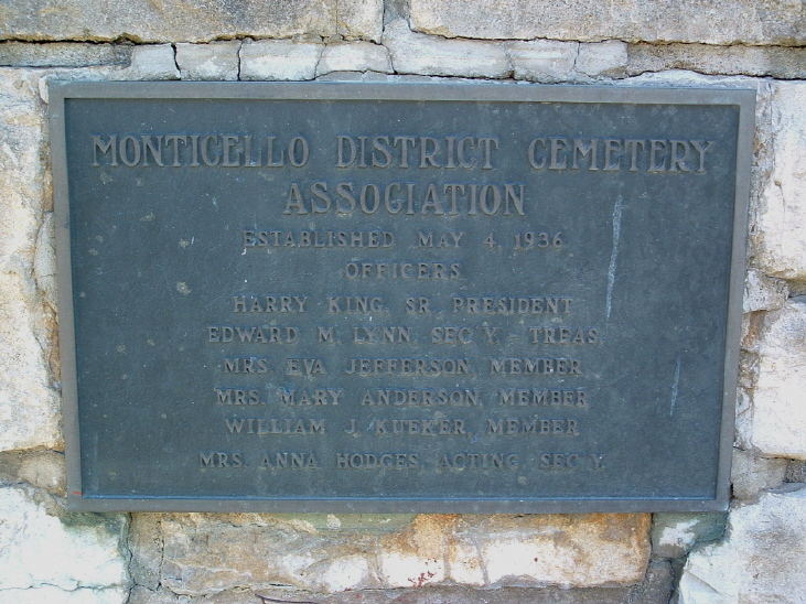
Where is Monticello Union Cemetery?
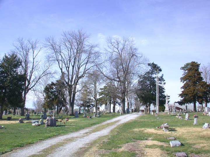
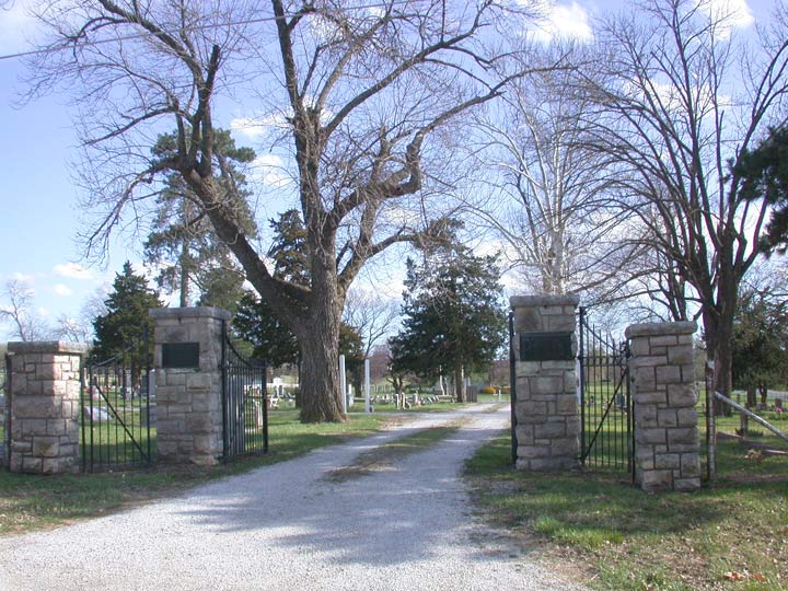
Monticello Union Cemetery is located at Shawnee, Johnson County ,Kansas ,USA.
-
Monticello Union Cemetery cemetery's updated grave count on graveviews.com?
83 memorials
-
Where are the coordinates of the Monticello Union Cemetery?
Latitude: 38.9920311
Longitude: -94.8617020
Nearby Cemetories:
1. Shawnee Mission Memory Gardens
Shawnee, Johnson County, USA
Coordinate: 38.9923210, -94.8573914
2. Old Monticello Cemetery
Shawnee, Johnson County, USA
Coordinate: 38.9951973, -94.8359833
3. Murphy Cemetery
Lenexa, Johnson County, USA
Coordinate: 38.9709282, -94.8816986
4. Boles Cemetery
Wilder, Johnson County, USA
Coordinate: 39.0292168, -94.8723450
5. Cedar Junction Cemetery
Cedar, Johnson County, USA
Coordinate: 38.9776800, -94.9339500
6. Smith Burial Site
Lenexa, Johnson County, USA
Coordinate: 38.9319730, -94.8530820
7. Lenape Cemetery
Lenape, Leavenworth County, USA
Coordinate: 39.0074997, -94.9602966
8. Elm Grove Cemetery
Mahon, Leavenworth County, USA
Coordinate: 39.0582085, -94.9450150
9. Lenexa Cemetery
Lenexa, Johnson County, USA
Coordinate: 38.9681015, -94.7416992
10. Saint Johns Catholic Cemetery
Lenexa, Johnson County, USA
Coordinate: 38.9666748, -94.7418594
11. DeSoto Cemetery
De Soto, Johnson County, USA
Coordinate: 38.9710999, -94.9882965
12. Olathe Memorial Cemetery
Olathe, Johnson County, USA
Coordinate: 38.8961983, -94.8170013
13. Resurrection Catholic Cemetery
Lenexa, Johnson County, USA
Coordinate: 38.9763985, -94.7277985
14. Pleasant View Cemetery
Shawnee, Johnson County, USA
Coordinate: 39.0192490, -94.7236862
15. Saint Joseph Catholic Cemetery
Shawnee, Johnson County, USA
Coordinate: 39.0167700, -94.7228800
16. Shawnee Cemetery
Shawnee, Johnson County, USA
Coordinate: 39.0181007, -94.7228012
17. Shawnee Indian Cemetery
Shawnee, Johnson County, USA
Coordinate: 39.0210800, -94.7123400
18. Chance Cemetery
Linwood, Leavenworth County, USA
Coordinate: 39.0018997, -95.0156021
19. Campbell Cemetery
Shawnee, Johnson County, USA
Coordinate: 39.0294952, -94.7087479
20. Mount Sidney Cemetery
Linwood, Leavenworth County, USA
Coordinate: 39.0017014, -95.0243988
21. Sarcoxie Cemetery
Linwood, Leavenworth County, USA
Coordinate: 39.0410995, -95.0186005
22. Glenwood Cemetery
Fairmount Township, Leavenworth County, USA
Coordinate: 39.1080017, -94.9449005
23. Antioch Pioneer Cemetery
Merriam, Johnson County, USA
Coordinate: 38.9934807, -94.6868896
24. Union Congregational Cemetery
Linwood, Leavenworth County, USA
Coordinate: 39.0013351, -95.0370407