
| Memorials | : | 2 |
| Location | : | Wayside, Brown County, USA |
| Coordinate | : | 44.2702904, -87.9649353 |
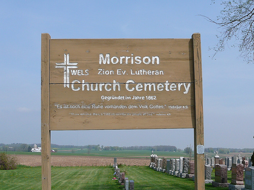
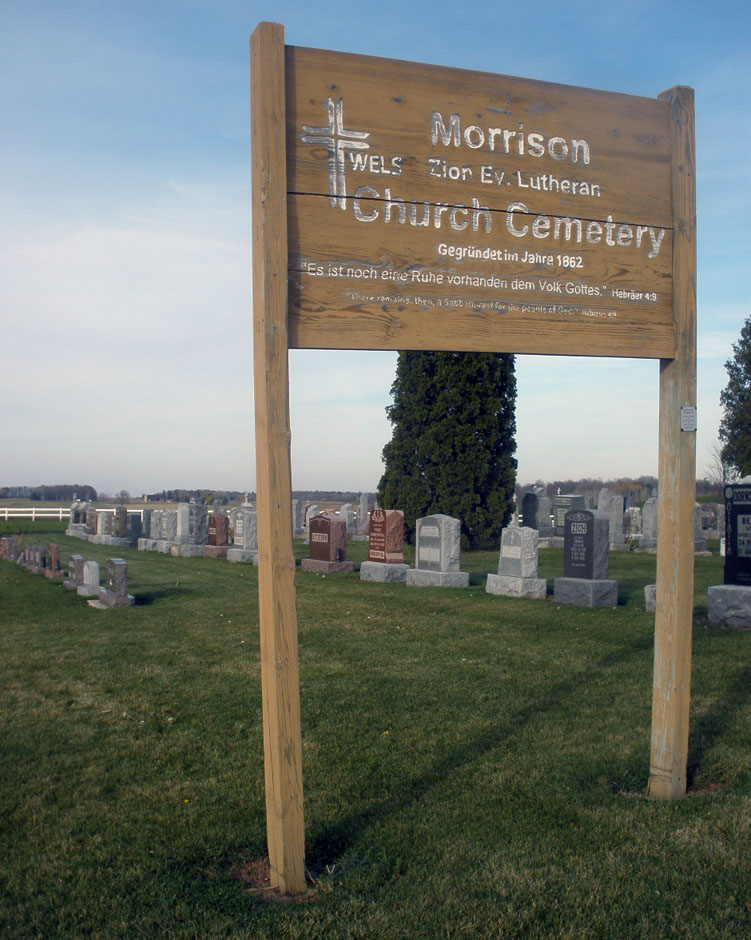
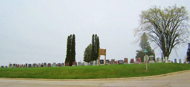
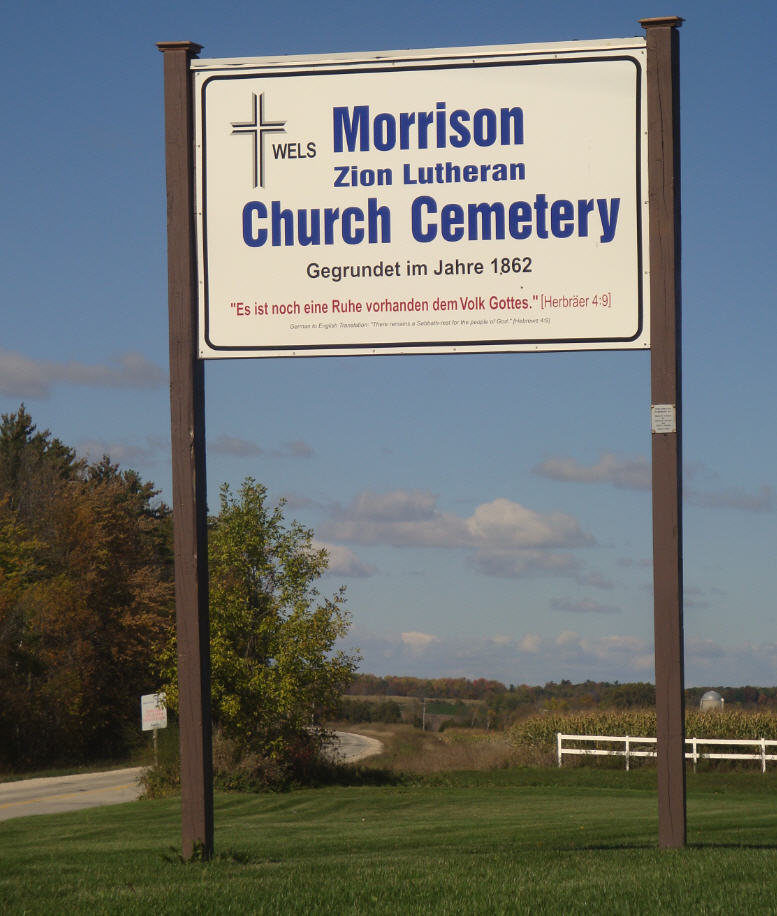
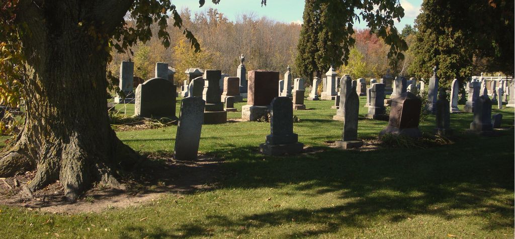
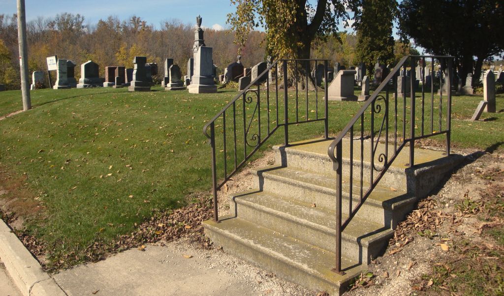
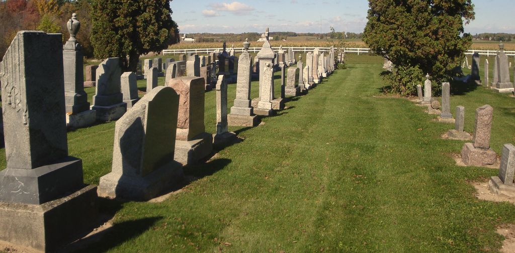
| Description | : | This cemetery is located where the original Morrison Zion Evangelical Lutheran Church stood. |
frequently asked questions (FAQ):
-
Where is Old Morrison Zion Evangelical Lutheran Cemetery?
Old Morrison Zion Evangelical Lutheran Cemetery is located at Wayside, Brown County ,Wisconsin ,USA.
-
Old Morrison Zion Evangelical Lutheran Cemetery cemetery's updated grave count on graveviews.com?
2 memorials
-
Where are the coordinates of the Old Morrison Zion Evangelical Lutheran Cemetery?
Latitude: 44.2702904
Longitude: -87.9649353
Nearby Cemetories:
1. Morrison Zion Evangelical Lutheran Cemetery
Morrison, Brown County, USA
Coordinate: 44.2890625, -87.9796677
2. Zion Cemetery
Wayside, Brown County, USA
Coordinate: 44.2497300, -87.9505500
3. Emanuels Cemetery
Morrison, Brown County, USA
Coordinate: 44.2991982, -87.9503021
4. Saint Johns Catholic Cemetery
Morrison, Brown County, USA
Coordinate: 44.2985992, -88.0139008
5. Kasson-Evergreen Cemetery
Maple Grove, Manitowoc County, USA
Coordinate: 44.2324921, -88.0237094
6. Saint Mary Cemetery
Morrison, Brown County, USA
Coordinate: 44.3022700, -87.8884700
7. Emmanuel Evangelical Cemetery
Maple Grove, Manitowoc County, USA
Coordinate: 44.2256012, -88.0294037
8. Saint Johns United Methodist Cemetery
Cooperstown, Manitowoc County, USA
Coordinate: 44.2914990, -87.8685450
9. Saint Marys Parish Cemetery
Greenleaf, Brown County, USA
Coordinate: 44.3124008, -88.0549011
10. Holy Trinity Cemetery
Maple Grove, Manitowoc County, USA
Coordinate: 44.2111015, -88.0346985
11. Holy Trinity Catholic Church Cemetery
Denmark, Brown County, USA
Coordinate: 44.3330900, -87.8874100
12. Bluff Cemetery
Brillion, Calumet County, USA
Coordinate: 44.2252998, -88.0643997
13. Immanuel Evangelical Lutheran Church Cemetery
Shirley, Brown County, USA
Coordinate: 44.3575070, -87.9526220
14. Saint Patrick Catholic Cemetery
Maple Grove, Manitowoc County, USA
Coordinate: 44.1876333, -87.9227500
15. Saint Patricks Catholic Cemetery
Askeaton, Brown County, USA
Coordinate: 44.2637800, -88.0909400
16. Zion Lutheran Cemetery
Glenmore, Brown County, USA
Coordinate: 44.3618140, -87.9599760
17. Saint Paul Lutheran Cemetery
Greenleaf, Brown County, USA
Coordinate: 44.3132019, -88.0784988
18. Fairview Cemetery
Greenleaf, Brown County, USA
Coordinate: 44.3130989, -88.0785980
19. Rovnost National Cemetery
Denmark, Brown County, USA
Coordinate: 44.3276100, -87.8518500
20. Saint Marys Cemetery
Glenmore, Brown County, USA
Coordinate: 44.3725000, -87.9475700
21. Holy Family Parish Cemetery
Brillion, Calumet County, USA
Coordinate: 44.1899986, -88.0599976
22. Friedens United Church of Christ Cemetery
Reedsville, Manitowoc County, USA
Coordinate: 44.1636009, -87.9582977
23. Saint Johns Evangelical Lutheran Cemetery
Maribel, Manitowoc County, USA
Coordinate: 44.2702800, -87.8063900
24. Saint Wenceslaus Cemetery
Cooperstown, Manitowoc County, USA
Coordinate: 44.2514000, -87.8073500