
| Memorials | : | 1 |
| Location | : | Warrensburg, Johnson County, USA |
| Coordinate | : | 38.7664986, -93.7542038 |
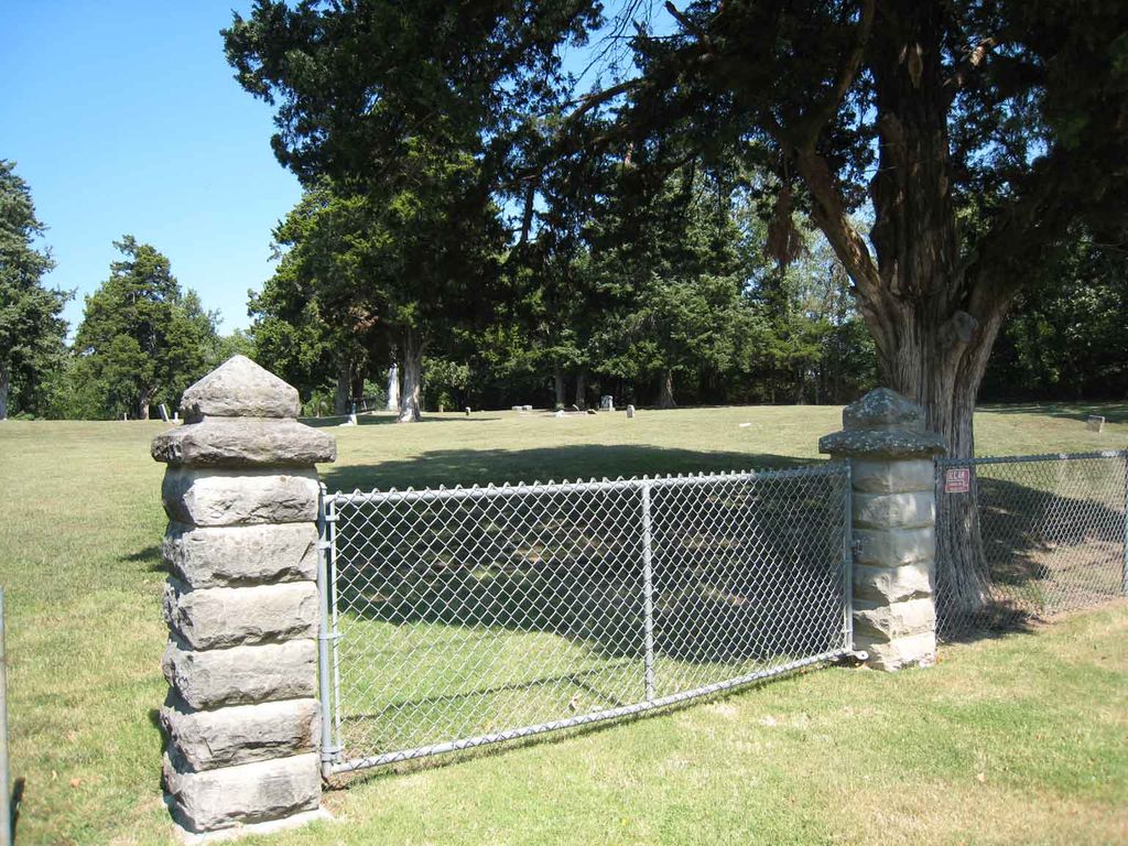
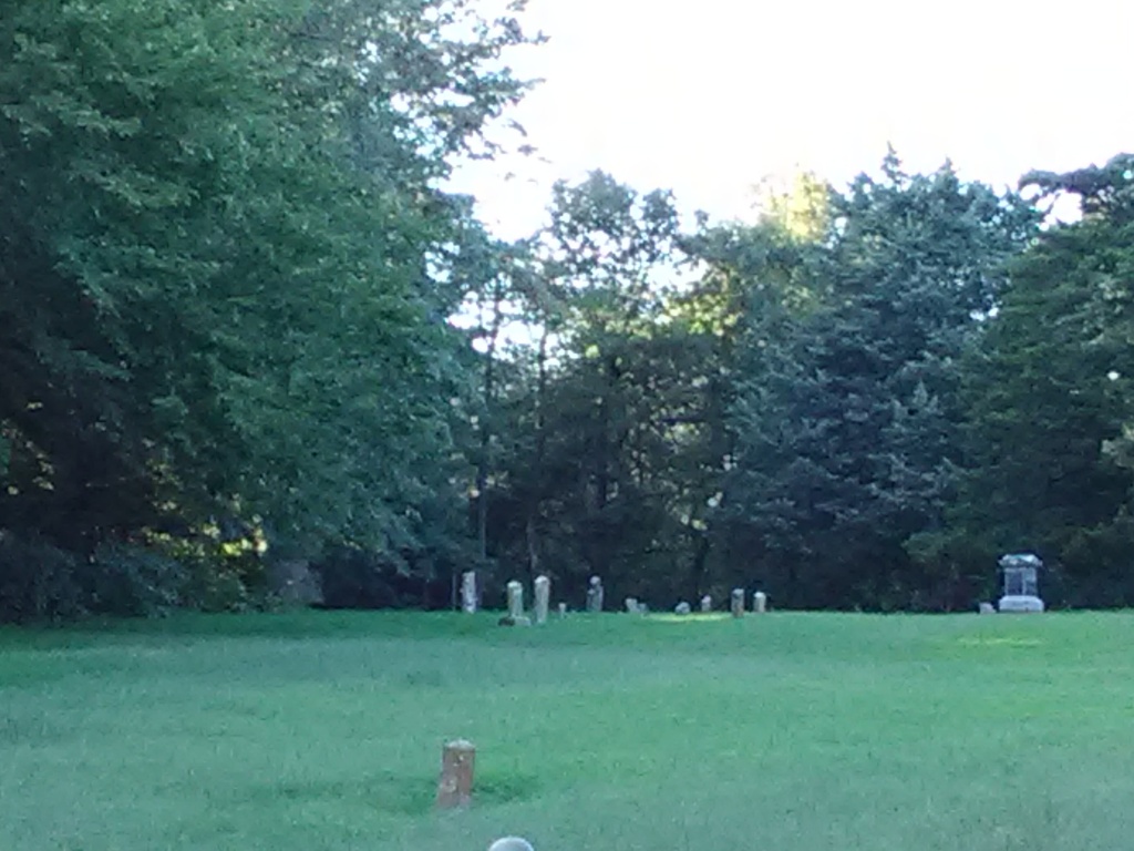
| Description | : | Four acres were established in 1840 as a county burying ground; it was sold in 1875 to the city. This cemetery is no longer used for burials. There is evidence of other graves that are not marked. |
frequently asked questions (FAQ):
-
Where is Old Warrensburg Cemetery?
Old Warrensburg Cemetery is located at West Gay Street Warrensburg, Johnson County ,Missouri , 64093USA.
-
Old Warrensburg Cemetery cemetery's updated grave count on graveviews.com?
1 memorials
-
Where are the coordinates of the Old Warrensburg Cemetery?
Latitude: 38.7664986
Longitude: -93.7542038

Nearby Cemetories:
1. Sunset Hill Cemetery
Warrensburg, Johnson County, USA
Coordinate: 38.7708015, -93.7574997
2. Holden Street Cemetery
Warrensburg, Johnson County, USA
Coordinate: 38.7648930, -93.7405070
3. Poor Farm Cemetery
Warrensburg, Johnson County, USA
Coordinate: 38.7748230, -93.7089920
4. Roop Cemetery
Warrensburg, Johnson County, USA
Coordinate: 38.7341995, -93.7288971
5. Maxwell Cemetery
Warrensburg, Johnson County, USA
Coordinate: 38.7663994, -93.7014008
6. Warrensburg Memorial Gardens Cemetery
Warrensburg, Johnson County, USA
Coordinate: 38.7262688, -93.7323227
7. Granger Cemetery
Johnson County, USA
Coordinate: 38.8157997, -93.7285995
8. Fickas Cemetery
Johnson County, USA
Coordinate: 38.7139015, -93.7217026
9. Bethel Cemetery
Warrensburg, Johnson County, USA
Coordinate: 38.7979790, -93.8211820
10. Sutton Cemetery
Johnson County, USA
Coordinate: 38.7257996, -93.6893997
11. Centerview Cemetery
Centerview, Johnson County, USA
Coordinate: 38.7504997, -93.8440781
12. Houx Cemetery
Centerview, Johnson County, USA
Coordinate: 38.7827988, -93.8491974
13. Dix Cemetery
Centerview, Johnson County, USA
Coordinate: 38.7578011, -93.8589020
14. Sluder Cemetery
Centerview, Johnson County, USA
Coordinate: 38.7324982, -93.8506012
15. Conner-Curnutt Cemetery
Montserrat, Johnson County, USA
Coordinate: 38.7863900, -93.6506200
16. Mayes Cemetery
Montserrat, Johnson County, USA
Coordinate: 38.7675018, -93.6455994
17. Mount Moriah Cemetery
Hazel Hill Township, Johnson County, USA
Coordinate: 38.8489900, -93.7859500
18. Mount Maria Cemetery
Johnson County, USA
Coordinate: 38.8492012, -93.7855988
19. Marr-Greer Cemetery
Johnson County, USA
Coordinate: 38.6769000, -93.7603000
20. Liberty Baptist Cemetery
Warrensburg, Johnson County, USA
Coordinate: 38.8582001, -93.7387009
21. Mount Zion Cemetery
Warrensburg, Johnson County, USA
Coordinate: 38.6730995, -93.7343979
22. Slate Cemetery
Centerview Township, Johnson County, USA
Coordinate: 38.7223846, -93.8625766
23. Whitman Cemetery
Warrensburg, Johnson County, USA
Coordinate: 38.7066450, -93.6584530
24. Adams Cemetery
Montserrat, Johnson County, USA
Coordinate: 38.7542000, -93.6311035