| Memorials | : | 0 |
| Location | : | Olive, Harrison County, USA |
| Coordinate | : | 39.3490000, -80.4640000 |
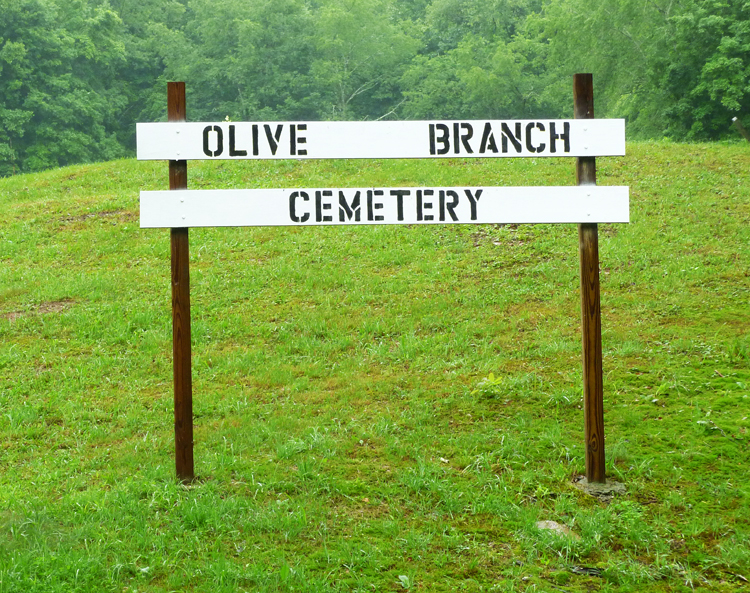
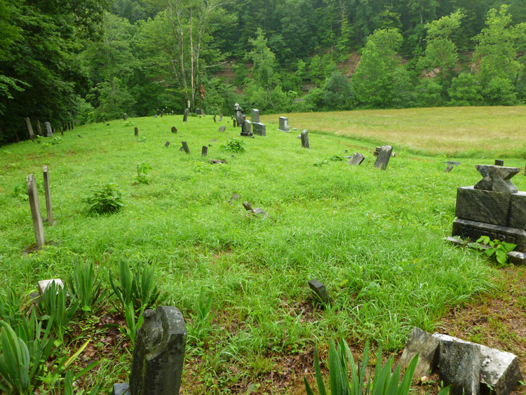
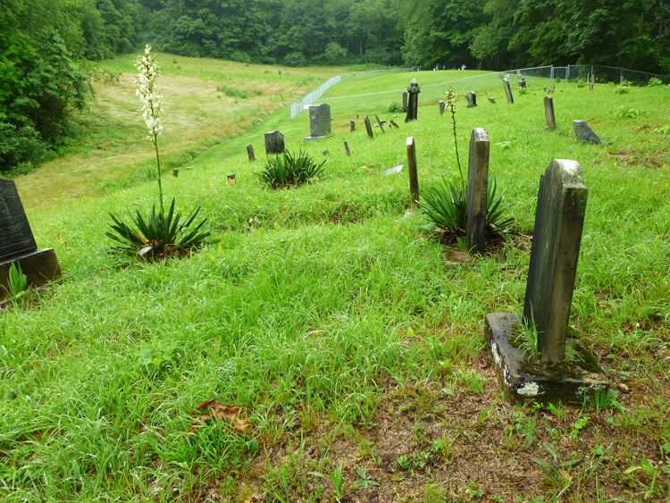
| Description | : | Olive Branch Cemetery is by Harrison County Rt. 5 off of Big Rock Camp Road. From I-50, take the Marshville Road north. In Marshville, by the Marshville Cemetery, take the road to the right---Ten Mile Creek Road. Bear left on Big Rock Camp Road to Rt. 5 and pass the Olive Branch Baptist Church that will be on the right. Although difficult to see at first due to the curve in the road, the cemetery will be on the left over a small bridge. 39.349291 N 80.463889 W ----- |
frequently asked questions (FAQ):
-
Where is Olive Branch Cemetery?
Olive Branch Cemetery is located at Olive, Harrison County ,West Virginia ,USA.
-
Olive Branch Cemetery cemetery's updated grave count on graveviews.com?
0 memorials
-
Where are the coordinates of the Olive Branch Cemetery?
Latitude: 39.3490000
Longitude: -80.4640000
Nearby Cemetories:
1. Whiteman Family
Olive, Harrison County, USA
Coordinate: 39.3490000, -80.4660000
2. Marshville Cemetery
Marshville, Harrison County, USA
Coordinate: 39.3232994, -80.4664001
3. Knight Family Cemetery
Clarksburg, Harrison County, USA
Coordinate: 39.3439861, -80.4249762
4. Rittenhouse Cemetery
Sardis, Harrison County, USA
Coordinate: 39.3793983, -80.4372025
5. IOOF Cemetery
Brown, Harrison County, USA
Coordinate: 39.3854550, -80.4530830
6. Sardis Cemetery
Sardis, Harrison County, USA
Coordinate: 39.3356018, -80.4182968
7. Community Cemetery
Harrison County, USA
Coordinate: 39.3866997, -80.4543991
8. Marsh Cemetery
Brown, Harrison County, USA
Coordinate: 39.3885994, -80.4617004
9. Grass Run Cemetery
Harrison County, USA
Coordinate: 39.3464012, -80.5156021
10. Plant Cemetery
Katy Lick, Harrison County, USA
Coordinate: 39.3139000, -80.4349976
11. Hurst Family Cemetery
Katy Lick, Harrison County, USA
Coordinate: 39.3177778, -80.4216667
12. Hall Cemetery
Dola, Harrison County, USA
Coordinate: 39.3669014, -80.4068985
13. Shahan Cemetery
Flinderation, Harrison County, USA
Coordinate: 39.3069000, -80.4942017
14. McIntire Fork Cemetery
Harrison County, USA
Coordinate: 39.3792000, -80.5168991
15. Swiger Cemetery
Brown, Harrison County, USA
Coordinate: 39.4007988, -80.4535980
16. Ash Cemetery
Harrison County, USA
Coordinate: 39.3238983, -80.4030991
17. Enon Church Cemetery
Bristol, Harrison County, USA
Coordinate: 39.2935982, -80.5057983
18. Point Pleasant Cemetery
Maken, Harrison County, USA
Coordinate: 39.2870580, -80.4877280
19. Boggess Cemetery
Harrison County, USA
Coordinate: 39.4016991, -80.4139023
20. Reynolds Cemetery
Reynoldsville, Harrison County, USA
Coordinate: 39.2844009, -80.4274979
21. Pleasant Grove Methodist Cemetery
Bristol, Harrison County, USA
Coordinate: 39.3005981, -80.5382996
22. Lyon Cemetery
Lumberport, Harrison County, USA
Coordinate: 39.4131012, -80.4107971
23. Robinson Cemetery
Lumberport, Harrison County, USA
Coordinate: 39.3647003, -80.3619003
24. Lumberport Lions Club Cemetery
Lumberport, Harrison County, USA
Coordinate: 39.3700100, -80.3596500


