
| Memorials | : | 0 |
| Location | : | Onstwedde, Stadskanaal Municipality, Netherlands |
| Coordinate | : | 53.0425700, 7.0436300 |
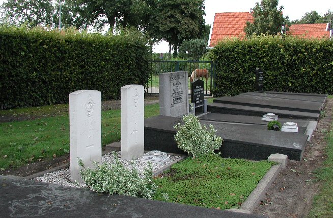
| Description | : | Stadskanaal, a village in the commune of Onstwedde, is 28 kilometres east of Assen, on a minor road to Veendam and Groningen. From the town follow the N374 in the direction of Borger. Cross over the canal and carry on to the roundabout. At the roundabout go all the way round and back up the N374 towards the town. Take the first turning right into Electronicaweg, then immediately first left, then first right into Kerkhofweg. The cemetery is along this road on the right. Onstwedde is 56 kilometres east of Groningen and 15 kilometres south of Winschoten. The cemetery lies north... Read More |
frequently asked questions (FAQ):
-
Where is Onstwedde General Cemetery?
Onstwedde General Cemetery is located at Onstwedde, Stadskanaal Municipality ,Groningen ,Netherlands.
-
Onstwedde General Cemetery cemetery's updated grave count on graveviews.com?
0 memorials
-
Where are the coordinates of the Onstwedde General Cemetery?
Latitude: 53.0425700
Longitude: 7.0436300
Nearby Cemetories:
1. Begraafplaats Veelerkerkhof
Veele, Vlagtwedde Municipality, Netherlands
Coordinate: 53.0372680, 7.1001330
2. Vlagtwedde General Cemetery
Vlagtwedde, Vlagtwedde Municipality, Netherlands
Coordinate: 53.0252400, 7.1198700
3. Vriescheloo Protestant Cemetery
Vriescheloo, Bellingwedde Municipality, Netherlands
Coordinate: 53.0762600, 7.1226700
4. Nieuwe Pekela Hervormd
Nieuwe Pekela, Pekela Municipality, Netherlands
Coordinate: 53.0741930, 6.9606250
5. Nieuwe Pekela Luthers
Nieuwe Pekela, Pekela Municipality, Netherlands
Coordinate: 53.0882800, 6.9788500
6. Joodse Begraafplaats
Oude Pekela, Pekela Municipality, Netherlands
Coordinate: 53.1000000, 7.0072220
7. Oude Pekela algemene begraafplaats
Oude Pekela, Pekela Municipality, Netherlands
Coordinate: 53.1016100, 7.0113100
8. Boven Pekela cemetery
Boven Pekela, Pekela Municipality, Netherlands
Coordinate: 53.0342900, 6.9338300
9. Joodse Begraafplaats
Vlagtwedde Municipality, Netherlands
Coordinate: 53.0266000, 7.1584000
10. Blijham Protestant Cemetery
Blijham, Bellingwedde Municipality, Netherlands
Coordinate: 53.1106600, 7.0870100
11. Begraafplaats Oosterkadekerk
Stadskanaal Municipality, Netherlands
Coordinate: 52.9776980, 6.9640720
12. Gemeentelijke Begraafplaats Brugstraat
Stadskanaal, Stadskanaal Municipality, Netherlands
Coordinate: 52.9774600, 6.9632400
13. Gemeentelijke Begraafplaats Ceresstraat
Stadskanaal, Stadskanaal Municipality, Netherlands
Coordinate: 52.9702635, 6.9754545
14. Stadskanaal Noorderbegraafplaats
Stadskanaal, Stadskanaal Municipality, Netherlands
Coordinate: 53.0071900, 6.9182500
15. Joodse Begraafplaats
Stadskanaal Municipality, Netherlands
Coordinate: 52.9686940, 6.9737780
16. Joodse Begraafplaats
Bourtange, Vlagtwedde Municipality, Netherlands
Coordinate: 53.0134700, 7.1837900
17. Joodse Begraafplaats
Ommelanderwijk, Veendam Municipality, Netherlands
Coordinate: 53.0822900, 6.9020500
18. Oude Joodse Begraafplaats
Sint Vitusholt, Oldambt Municipality, Netherlands
Coordinate: 53.1437480, 7.0231610
19. Winschoten Oude Begraafplaats
Winschoten, Oldambt Municipality, Netherlands
Coordinate: 53.1450200, 7.0246400
20. Westerlee Churchyard
Westerlee, Oldambt Municipality, Netherlands
Coordinate: 53.1423510, 6.9815000
21. Bellingwolde Begraafplaats Kerkweg
Bellingwolde, Bellingwedde Municipality, Netherlands
Coordinate: 53.1189500, 7.1705400
22. Joodse Begraafplaats
Bellingwolde, Bellingwedde Municipality, Netherlands
Coordinate: 53.1193400, 7.1700200
23. Floralaan
Musselkanaal, Stadskanaal Municipality, Netherlands
Coordinate: 52.9359046, 7.0092084
24. Meeden algemene begraafplaats
Meeden, Menterwolde Municipality, Netherlands
Coordinate: 53.1402300, 6.9321200