
| Memorials | : | 0 |
| Location | : | Oaktown, Knox County, USA |
| Coordinate | : | 38.8812120, -87.4521110 |
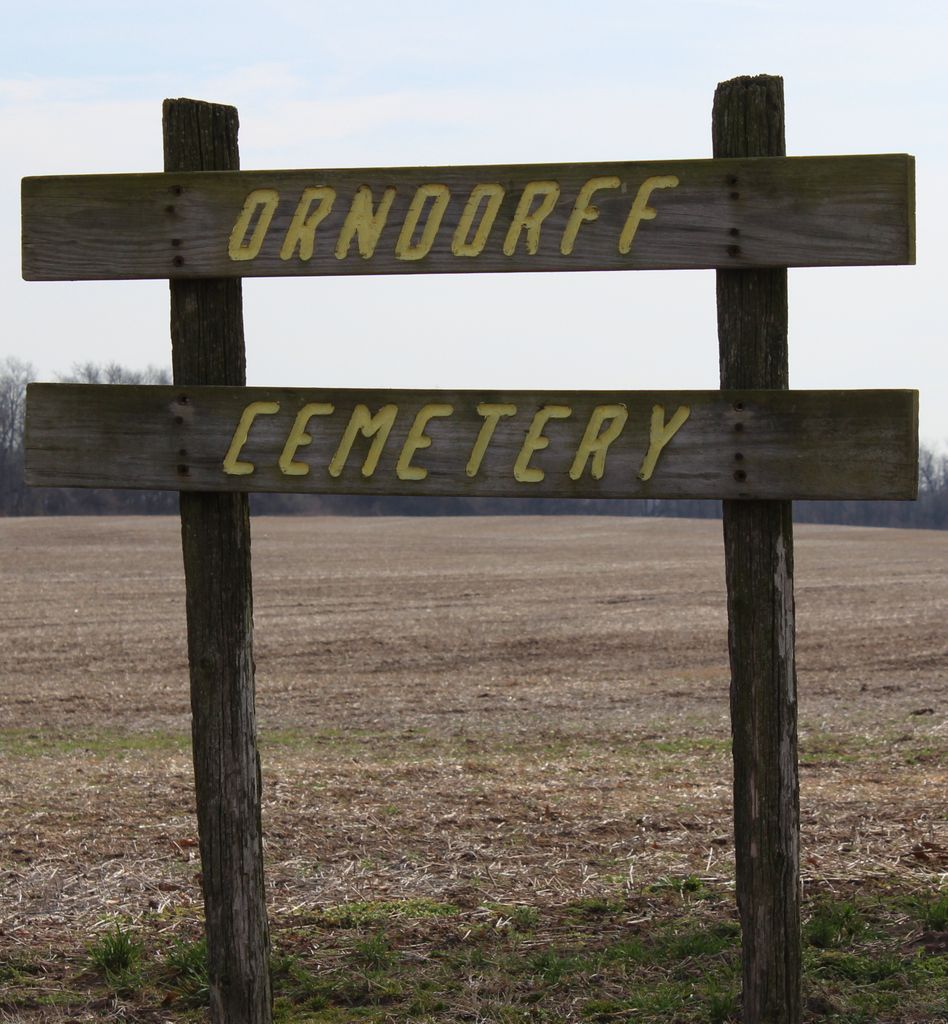
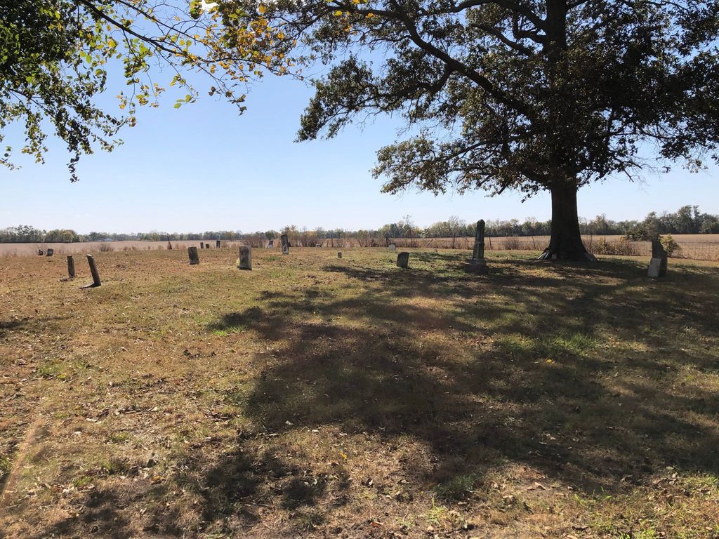
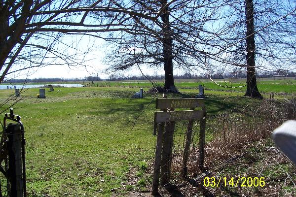
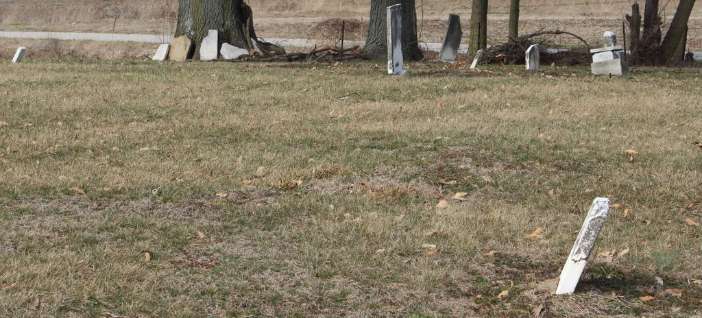
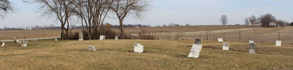
| Description | : | Asher Cemetery was moved to this location. The cemetery is listed in the Cemetery and Burial Grounds Registry of the Indiana Department of Natural Resources (DNR) and in the State Historical Architectural and Archaeological Research Database (SHAARD) with Cemetery Record Number CR-42-9 (Orndorff / Bond / Asher-Orndorff). The Indiana Historic Sites and Structures Inventory (IHSSI) survey number for Orndorff Cemetery is 083-096-15006 with the dataset compiled in 1997. The U.S. Geological Survey (USGS) Geographic Names Information System (GNIS) feature ID for the cemetery is 430308 (Asher Cemetery). |
frequently asked questions (FAQ):
-
Where is Orndorff Cemetery?
Orndorff Cemetery is located at E. Mayall Road Oaktown, Knox County ,Indiana , 47561USA.
-
Orndorff Cemetery cemetery's updated grave count on graveviews.com?
0 memorials
-
Where are the coordinates of the Orndorff Cemetery?
Latitude: 38.8812120
Longitude: -87.4521110
Nearby Cemetories:
1. Oaktown Cemetery
Oaktown, Knox County, USA
Coordinate: 38.8693008, -87.4456406
2. Stanley Cemetery
Oaktown, Knox County, USA
Coordinate: 38.8462920, -87.4294310
3. Shepherd Cemetery
Carlisle, Sullivan County, USA
Coordinate: 38.9218292, -87.4640742
4. Light Cemetery
Oaktown, Knox County, USA
Coordinate: 38.8512260, -87.3934880
5. Ockiltree Cemetery
Busseron, Knox County, USA
Coordinate: 38.8235060, -87.4479850
6. Morris Chapel Cemetery
Knox County, USA
Coordinate: 38.8808937, -87.3774643
7. Charley Cemetery
Knox County, USA
Coordinate: 38.8302994, -87.4107971
8. Walker Cemetery
Knox County, USA
Coordinate: 38.8600006, -87.3664017
9. Adams-Richart Cemetery
Heathsville, Crawford County, USA
Coordinate: 38.9057480, -87.5376680
10. Mariah Creek Baptist Church Cemetery
Oaktown, Knox County, USA
Coordinate: 38.8518570, -87.3635040
11. Mariah Creek Christian Church Cemetery
Oaktown, Knox County, USA
Coordinate: 38.8293991, -87.3758011
12. Vester Cemetery
Carlisle, Sullivan County, USA
Coordinate: 38.9591800, -87.4225000
13. Ledgerwood Cemetery
Carlisle, Sullivan County, USA
Coordinate: 38.9587370, -87.4199460
14. GreenHill Cemetery
Crawford County, USA
Coordinate: 38.9186550, -87.5475220
15. TeWalt Cemetery
Russellville, Lawrence County, USA
Coordinate: 38.8254960, -87.5315750
16. Bethlehem Cemetery
Carlisle, Sullivan County, USA
Coordinate: 38.9223175, -87.3588257
17. Duncan Cemetery
Merom, Sullivan County, USA
Coordinate: 38.9641680, -87.4670610
18. Bartmess Cemetery
Richwoods, Crawford County, USA
Coordinate: 38.9294014, -87.5444031
19. Baker Cemetery
Crawford County, USA
Coordinate: 38.9016991, -87.5606003
20. Price Cemetery
Bruceville, Knox County, USA
Coordinate: 38.8075980, -87.3927690
21. Martin-Thorne Cemetery
Knox County, USA
Coordinate: 38.8118000, -87.3834000
22. Price Cemetery
Russellville, Lawrence County, USA
Coordinate: 38.8208008, -87.5381012
23. Cartwright Cemetery
Sullivan County, USA
Coordinate: 38.9679000, -87.4179000
24. Tobey Cemetery
Crawford County, USA
Coordinate: 38.8739014, -87.5693970