| Memorials | : | 0 |
| Location | : | Ostrhauderfehn, Landkreis Leer, Germany |
| Coordinate | : | 53.1155920, 7.6222640 |
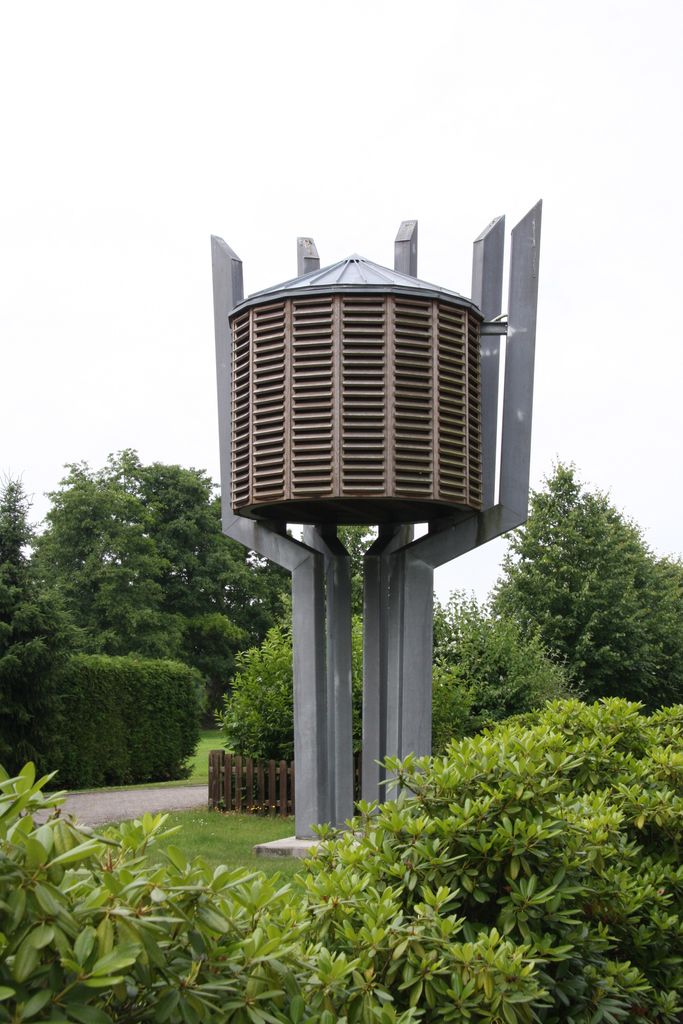
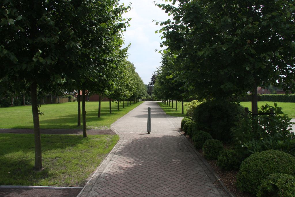
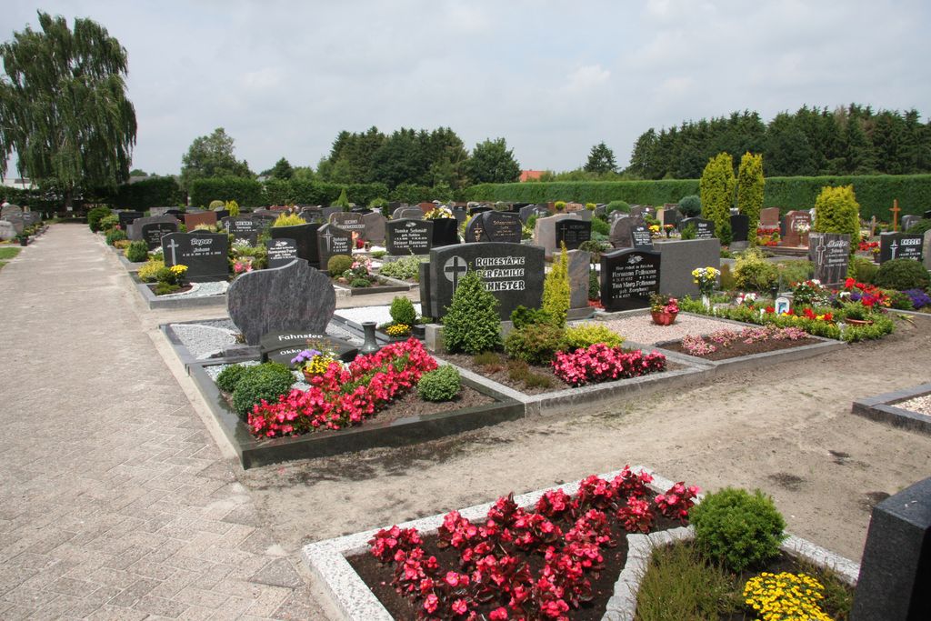
| Description | : | Cemetery is set back quite a bit from the street and is not easily visible from the road. The church is not nearby, but a non-denominational chapel is located on street. Behind the chapel, there is a large green space and a tree lined walk. The cemetery is behind green space. No sign with name of cemetery or chapel in front. |
frequently asked questions (FAQ):
-
Where is Ostrhauderfehn - Kapelle Schifferstraße?
Ostrhauderfehn - Kapelle Schifferstraße is located at between Schifferstraße 221 & 225 Ostrhauderfehn, Landkreis Leer ,Lower Saxony (Niedersachsen) , 26842Germany.
-
Ostrhauderfehn - Kapelle Schifferstraße cemetery's updated grave count on graveviews.com?
0 memorials
-
Where are the coordinates of the Ostrhauderfehn - Kapelle Schifferstraße?
Latitude: 53.1155920
Longitude: 7.6222640
Nearby Cemetories:
1. Südfriedhof Idafehn
Ostrhauderfehn, Landkreis Leer, Germany
Coordinate: 53.1135920, 7.6334080
2. Evangelischer Friedhof Langholt
Langholt, Landkreis Leer, Germany
Coordinate: 53.1111970, 7.5904740
3. Ostrhauderfehn Untenende
Ostrhauderfehn, Landkreis Leer, Germany
Coordinate: 53.1416090, 7.6069380
4. Katholischer Friedhof Langholt
Rhauderfehn, Landkreis Leer, Germany
Coordinate: 53.1070200, 7.5754980
5. Friedhof Westrhauderfehn am Untenende
Rhauderfehn, Landkreis Leer, Germany
Coordinate: 53.1369560, 7.5815390
6. Friedhof Westrhauderfehn
Rhauderfehn, Landkreis Leer, Germany
Coordinate: 53.1336150, 7.5727230
7. Friedhof Holterfehn
Rhauderfehn, Landkreis Leer, Germany
Coordinate: 53.1568600, 7.6155890
8. Friedhof Rhaudermoor
Rhauderfehn, Landkreis Leer, Germany
Coordinate: 53.1413000, 7.5638220
9. Friedhof Burlage
Rhauderfehn, Landkreis Leer, Germany
Coordinate: 53.0746270, 7.5831780
10. Nordfriedhof Idafehn
Ostrhauderfehn, Landkreis Leer, Germany
Coordinate: 53.1617320, 7.6407340
11. Friedhof Rhaude
Rhaude, Landkreis Leer, Germany
Coordinate: 53.1612307, 7.5708269
12. Friedhof Rhaude
Rhauderfehn, Landkreis Leer, Germany
Coordinate: 53.1612690, 7.5704950
13. Friedhof Potshausen
Ostrhauderfehn, Landkreis Leer, Germany
Coordinate: 53.1845910, 7.6128470
14. Alter Friedhof Collinghorst
Rhauderfehn, Landkreis Leer, Germany
Coordinate: 53.1603290, 7.5282680
15. Neuer Friedhof Collinghorst
Rhauderfehn, Landkreis Leer, Germany
Coordinate: 53.1606190, 7.5194020
16. Kirchfriedhof Ihrenerfeld
Westoverledingen, Landkreis Leer, Germany
Coordinate: 53.1423620, 7.4751270
17. Friedhof Backemoor
Rhauderfehn, Landkreis Leer, Germany
Coordinate: 53.1873100, 7.5230870
18. Gemeindefriedhof Ihrenerfeld
Westoverledingen, Landkreis Leer, Germany
Coordinate: 53.1441510, 7.4739760
19. Friedhof Grosswolderfeld
Westoverledingen, Landkreis Leer, Germany
Coordinate: 53.1320270, 7.4678850
20. Evangelisch-lutherischer Friedhof Flachsmeer
Westoverledingen, Landkreis Leer, Germany
Coordinate: 53.1233800, 7.4627760
21. Katholischer Friedhof Flachsmeer
Westoverledingen, Landkreis Leer, Germany
Coordinate: 53.1189533, 7.4608385
22. Alter Friedhof Detern
Detern, Landkreis Leer, Germany
Coordinate: 53.2092890, 7.6723400
23. Friedhof Breinermoor
Landkreis Leer, Germany
Coordinate: 53.1897580, 7.5018780
24. Friedhof Völlenerkönigsfehn
Westoverledingen, Landkreis Leer, Germany
Coordinate: 53.1000300, 7.4504200


