| Memorials | : | 95 |
| Location | : | Lydiate, Metropolitan Borough of Sefton, England |
| Website | : | www.ourladyandsaintgregory.com/ |
| Coordinate | : | 53.5396850, -2.9599940 |
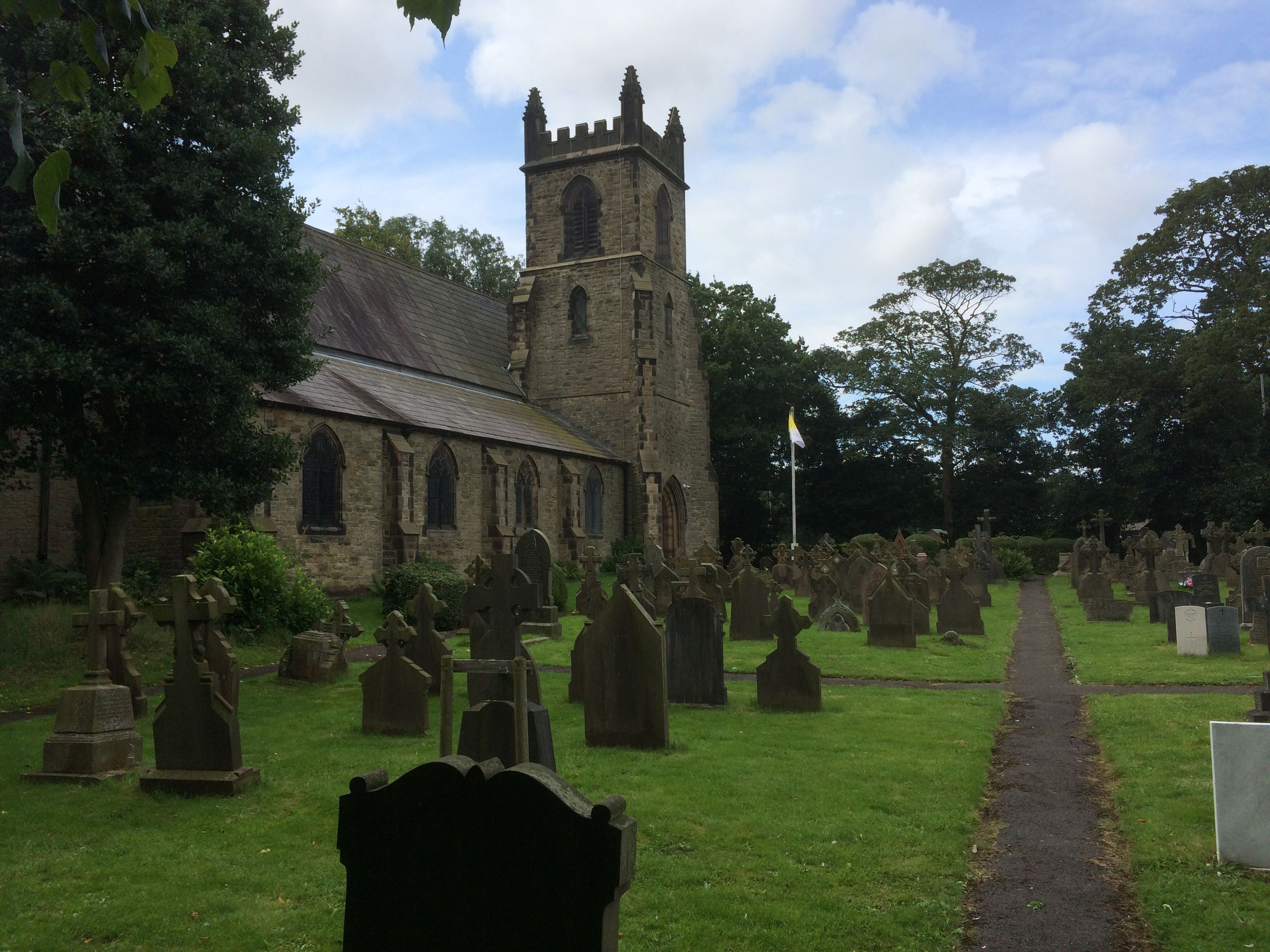
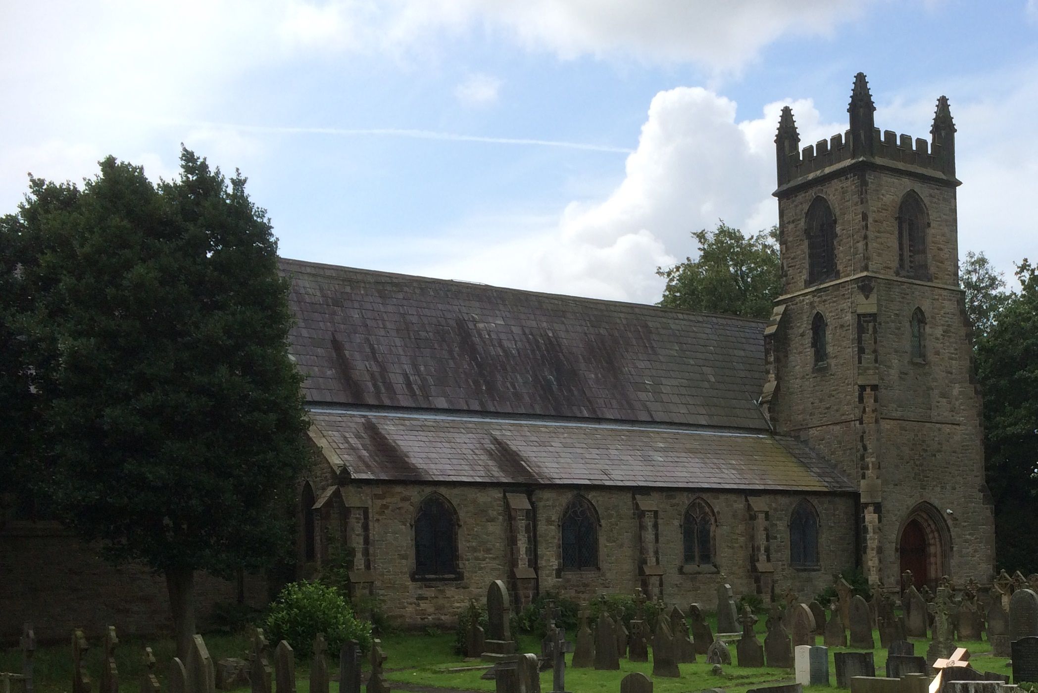
| Description | : | An active catholic church in the parish of Downholland. It is a grade 2 listed building dating from 1856. It originally had a steeple on the tower but in the 1950's it was dismantled for safety reasons. The churchyard has 3 Commonwealth War Graves from WW2. |
frequently asked questions (FAQ):
-
Where is Our Lady's Roman Catholic Churchyard?
Our Lady's Roman Catholic Churchyard is located at 263 Southport Road Lydiate, Metropolitan Borough of Sefton ,Merseyside , L31 4HHEngland.
-
Our Lady's Roman Catholic Churchyard cemetery's updated grave count on graveviews.com?
95 memorials
-
Where are the coordinates of the Our Lady's Roman Catholic Churchyard?
Latitude: 53.5396850
Longitude: -2.9599940
Nearby Cemetories:
1. St Catherine Churchyard
Lydiate, Metropolitan Borough of Sefton, England
Coordinate: 53.5368000, -2.9612660
2. St Thomas Churchyard
Lydiate, Metropolitan Borough of Sefton, England
Coordinate: 53.5443480, -2.9621640
3. Saint Michael's Churchyard
Aughton, West Lancashire District, England
Coordinate: 53.5419170, -2.9197240
4. St. Andrew Churchyard
Maghull, Metropolitan Borough of Sefton, England
Coordinate: 53.5104770, -2.9428820
5. Sefton Parish Churchyard
Sefton, Metropolitan Borough of Sefton, England
Coordinate: 53.5044060, -2.9712190
6. Christ Churchyard
Aughton, West Lancashire District, England
Coordinate: 53.5583510, -2.9046990
7. Ince Blundell Cemetery
Ince Blundell, Metropolitan Borough of Sefton, England
Coordinate: 53.5213570, -3.0208750
8. St. Michael and All Angels Churchyard
Great Altcar, Metropolitan Borough of Sefton, England
Coordinate: 53.5507770, -3.0279540
9. Thornton Garden of Rest and Crematorium
Thornton, Metropolitan Borough of Sefton, England
Coordinate: 53.5001850, -2.9951960
10. Saint Anne's Roman Catholic Church Cemetery
Ormskirk, West Lancashire District, England
Coordinate: 53.5626520, -2.8935560
11. St. Cuthbert's Churchyard
Halsall, West Lancashire District, England
Coordinate: 53.5852140, -2.9529650
12. St Thomas and the Holy Rood Churchyard
Melling, Metropolitan Borough of Sefton, England
Coordinate: 53.4954510, -2.9227850
13. Melling Churchyard
Melling, Metropolitan Borough of Sefton, England
Coordinate: 53.4953370, -2.9228780
14. Friends Burial Ground
Bickerstaffe, West Lancashire District, England
Coordinate: 53.5347720, -2.8748780
15. St. Mary Roman Catholic Churchyard
Little Crosby, Metropolitan Borough of Sefton, England
Coordinate: 53.5076380, -3.0274720
16. Harkirk Burial Ground
Little Crosby, Metropolitan Borough of Sefton, England
Coordinate: 53.5016890, -3.0191220
17. St Peter and St Paul Churchyard
Ormskirk, West Lancashire District, England
Coordinate: 53.5692640, -2.8877690
18. Ford Cemetery
Ford, Metropolitan Borough of Sefton, England
Coordinate: 53.4824040, -2.9925980
19. Our Lady Of Compassion RC Churchyard
Formby, Metropolitan Borough of Sefton, England
Coordinate: 53.5574060, -3.0575020
20. St Luke Churchyard
Great Crosby, Metropolitan Borough of Sefton, England
Coordinate: 53.4909310, -3.0240300
21. St. Peter's Churchyard
Formby, Metropolitan Borough of Sefton, England
Coordinate: 53.5663834, -3.0594721
22. St Peter and St Paul Churchyard
Crosby, Metropolitan Borough of Sefton, England
Coordinate: 53.4858300, -3.0234920
23. St. James Churchyard
Westhead, West Lancashire District, England
Coordinate: 53.5582324, -2.8527492
24. Aintree Racecourse Grounds
Aintree Village, Metropolitan Borough of Sefton, England
Coordinate: 53.4733880, -2.9549700


