
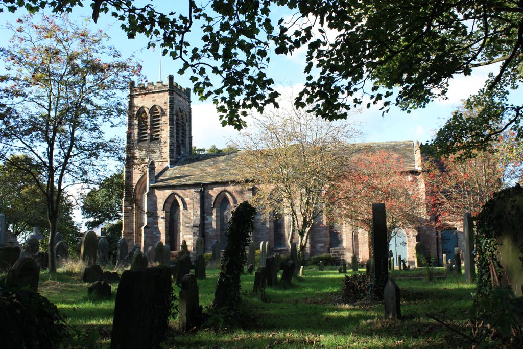
| Memorials | : | 3524 |
| Location | : | Melling, Metropolitan Borough of Sefton, England |
| Coordinate | : | 53.4954510, -2.9227850 |
frequently asked questions (FAQ):
-
Where is St Thomas and the Holy Rood Churchyard?
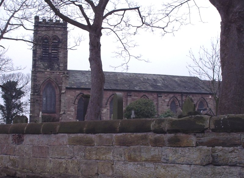
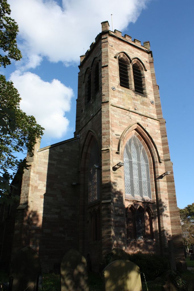
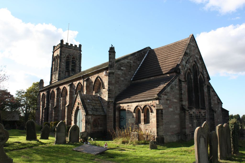
St Thomas and the Holy Rood Churchyard is located at Melling, Metropolitan Borough of Sefton ,Merseyside , L31 1EBEngland.
-
St Thomas and the Holy Rood Churchyard cemetery's updated grave count on graveviews.com?
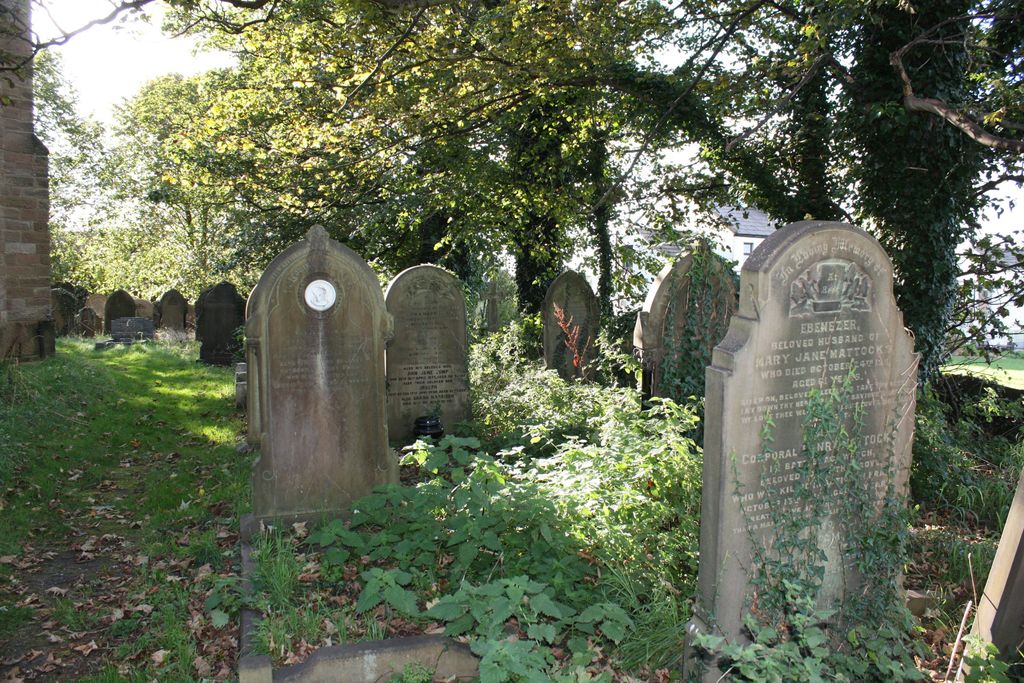
3522 memorials
-
Where are the coordinates of the St Thomas and the Holy Rood Churchyard?
Latitude: 53.4954510
Longitude: -2.9227850
Nearby Cemetories:
1. Melling Churchyard
Melling, Metropolitan Borough of Sefton, England
Coordinate: 53.4953370, -2.9228780
2. St. Andrew Churchyard
Maghull, Metropolitan Borough of Sefton, England
Coordinate: 53.5104770, -2.9428820
3. St. Chad Churchyard
Kirkby, Metropolitan Borough of Knowsley, England
Coordinate: 53.4842890, -2.8930700
4. Aintree Racecourse Grounds
Aintree Village, Metropolitan Borough of Sefton, England
Coordinate: 53.4733880, -2.9549700
5. Sefton Parish Churchyard
Sefton, Metropolitan Borough of Sefton, England
Coordinate: 53.5044060, -2.9712190
6. Kirkdale Cemetery
Liverpool, Metropolitan Borough of Liverpool, England
Coordinate: 53.4672530, -2.9479800
7. St Swithins Churchyard
Liverpool, Metropolitan Borough of Liverpool, England
Coordinate: 53.4585631, -2.9012280
8. Everton Cemetery
Everton, Metropolitan Borough of Liverpool, England
Coordinate: 53.4555430, -2.9442480
9. Long Lane Jewish Cemetery
Liverpool, Metropolitan Borough of Liverpool, England
Coordinate: 53.4550140, -2.9420480
10. Thornton Garden of Rest and Crematorium
Thornton, Metropolitan Borough of Sefton, England
Coordinate: 53.5001850, -2.9951960
11. Ford Cemetery
Ford, Metropolitan Borough of Sefton, England
Coordinate: 53.4824040, -2.9925980
12. West Derby Cemetery
West Derby, Metropolitan Borough of Liverpool, England
Coordinate: 53.4513790, -2.9154630
13. West Derby Jewish Cemetery
Liverpool, Metropolitan Borough of Liverpool, England
Coordinate: 53.4504986, -2.9137393
14. Saint Michael's Churchyard
Aughton, West Lancashire District, England
Coordinate: 53.5419170, -2.9197240
15. Bootle Cemetery
Bootle, Metropolitan Borough of Sefton, England
Coordinate: 53.4627680, -2.9787450
16. St Catherine Churchyard
Lydiate, Metropolitan Borough of Sefton, England
Coordinate: 53.5368000, -2.9612660
17. Walton Park Cemetery
Walton, Metropolitan Borough of Liverpool, England
Coordinate: 53.4564370, -2.9695960
18. Rice Lane Jewish Cemetery
Walton, Metropolitan Borough of Liverpool, England
Coordinate: 53.4521700, -2.9590600
19. Friends Burial Ground
Bickerstaffe, West Lancashire District, England
Coordinate: 53.5347720, -2.8748780
20. Our Lady's Roman Catholic Churchyard
Lydiate, Metropolitan Borough of Sefton, England
Coordinate: 53.5396850, -2.9599940
21. St Thomas Churchyard
Lydiate, Metropolitan Borough of Sefton, England
Coordinate: 53.5443480, -2.9621640
22. St Mary the Virgin Churchyard
Walton, Metropolitan Borough of Liverpool, England
Coordinate: 53.4464930, -2.9673330
23. St. Mary's Churchyard
Knowsley, Metropolitan Borough of Knowsley, England
Coordinate: 53.4561960, -2.8528580
24. Harkirk Burial Ground
Little Crosby, Metropolitan Borough of Sefton, England
Coordinate: 53.5016890, -3.0191220