
| Memorials | : | 2 |
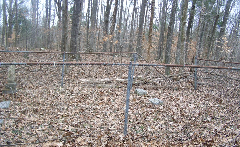
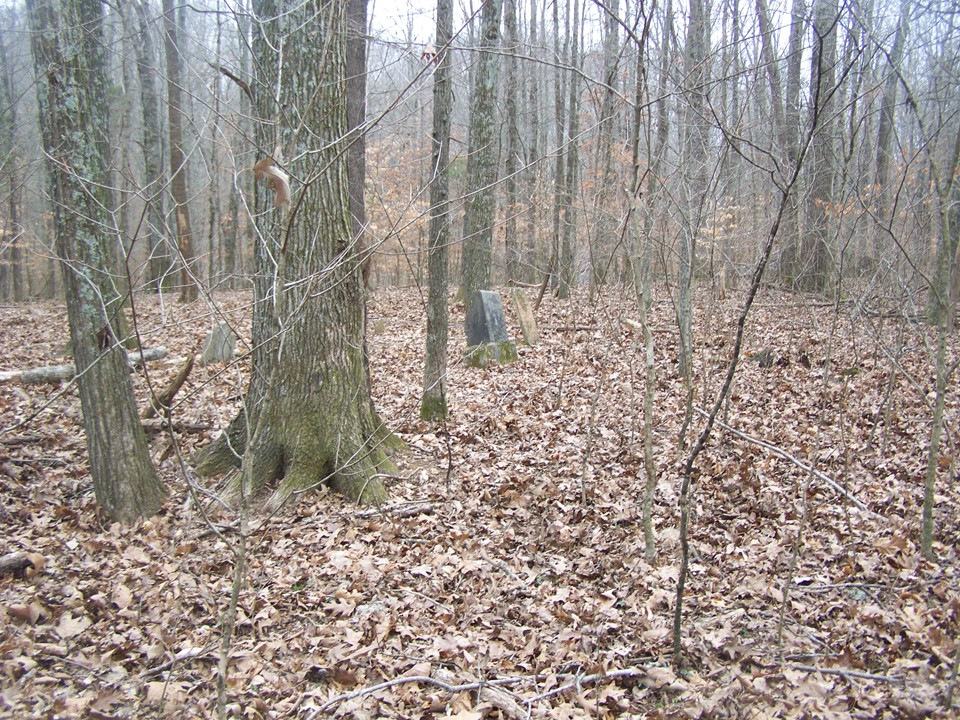
| Location | : | Corbandale, Montgomery County, USA |
| Coordinate | : | 36.4474750, -87.5311970 |
| Description | : | From Gary Matthews, take Highway 48/13 South 2.6 miles to Highway 149. Turn right, go 6.6 miles to Palmyra Road. Turn right, go 1.1 mile to Corbandale Road. On Corbandale Road go, 3.1 miles. Cemetery is on the left in the woods and can not be seen from the road. Walk through the clearing, bear right up the hill and follow old road into the woods to the cemetery. |
frequently asked questions (FAQ):
-
Where is Outlaw Farm Cemetery?
Outlaw Farm Cemetery is located at Corbandale, Montgomery County ,Tennessee ,USA.
-
Outlaw Farm Cemetery cemetery's updated grave count on graveviews.com?
2 memorials
-
Where are the coordinates of the Outlaw Farm Cemetery?
Latitude: 36.4474750
Longitude: -87.5311970
Nearby Cemetories:
1. Corbandale Cemetery
Corbandale, Montgomery County, USA
Coordinate: 36.4488900, -87.5133020
2. Blooming Grove Baptist Cemetery
Montgomery County, USA
Coordinate: 36.4853300, -87.5486200
3. Ellis Cemetery
Montgomery County, USA
Coordinate: 36.4162020, -87.5703890
4. Lewis Cemetery
Cumberland City, Stewart County, USA
Coordinate: 36.4229230, -87.6034030
5. Halliburton Cemetery
Montgomery County, USA
Coordinate: 36.4478340, -87.4522770
6. Wickham Cemetery
Canaan, Montgomery County, USA
Coordinate: 36.4063988, -87.4700012
7. Marable Cemetery
Clarksville, Montgomery County, USA
Coordinate: 36.3808160, -87.5397810
8. Dotsonville Church Of Christ Cemetery
Montgomery County, USA
Coordinate: 36.4965355, -87.4699158
9. Bob Yarbrough Cemetery
Montgomery County, USA
Coordinate: 36.4317913, -87.4393204
10. Bayer-Vaughn Cemetery
Cumberland City, Stewart County, USA
Coordinate: 36.3900566, -87.6039505
11. Ogburn Chapel Missionary Baptist Church Cemetery
Clarksville, Montgomery County, USA
Coordinate: 36.5099220, -87.4634552
12. Baggett Cemetery
Cunningham, Montgomery County, USA
Coordinate: 36.4052610, -87.4378670
13. Gunson Cemetery
Cumberland City, Stewart County, USA
Coordinate: 36.3842888, -87.6059647
14. Mount Pleasant United Methodist Church Cemetery
Montgomery County, USA
Coordinate: 36.5064000, -87.4508000
15. Hiter Cemetery
Montgomery County, USA
Coordinate: 36.4588450, -87.4174400
16. Martin Chapel Cemetery
Cumberland Heights, Montgomery County, USA
Coordinate: 36.4647060, -87.4181140
17. Harrison Cemetery
Clarksville, Montgomery County, USA
Coordinate: 36.5314390, -87.5813500
18. Bethel Baptist Church Cemetery
Clarksville, Montgomery County, USA
Coordinate: 36.3657150, -87.4734870
19. Hicks Cemetery
Montgomery County, USA
Coordinate: 36.3558006, -87.4969025
20. Millie Yarbrough Cemetery
Montgomery County, USA
Coordinate: 36.4166985, -87.4169006
21. Blair Cemetery
Montgomery County, USA
Coordinate: 36.5153008, -87.6181030
22. Baggett Chapel Cemetery
Cunningham, Montgomery County, USA
Coordinate: 36.3656006, -87.4646988
23. Lewis Cemetery
Erin, Houston County, USA
Coordinate: 36.3594180, -87.5897140
24. Cumberland City Cemetery
Cumberland City, Stewart County, USA
Coordinate: 36.3913570, -87.6340290