
| Memorials | : | 0 |
| Location | : | Clarksville, Montgomery County, USA |
| Coordinate | : | 36.5099220, -87.4634552 |
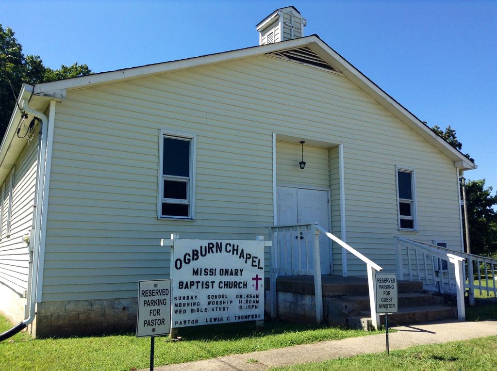
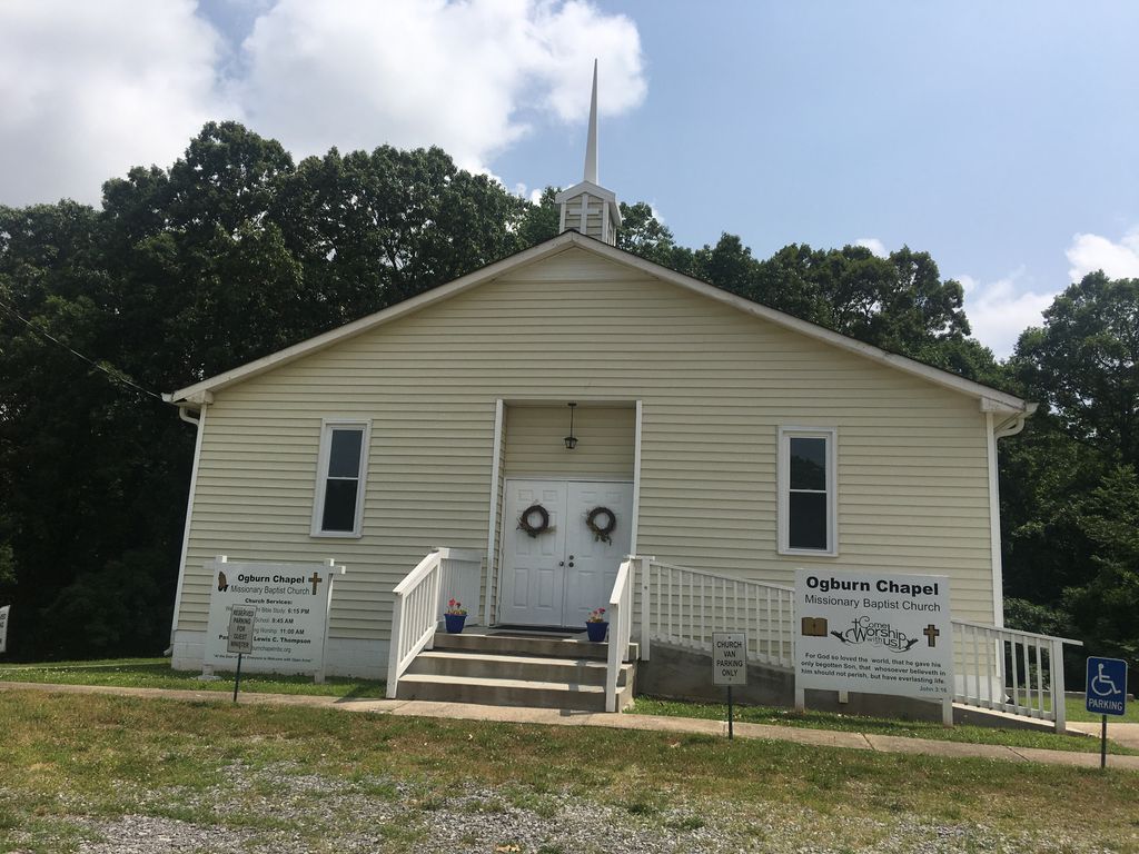
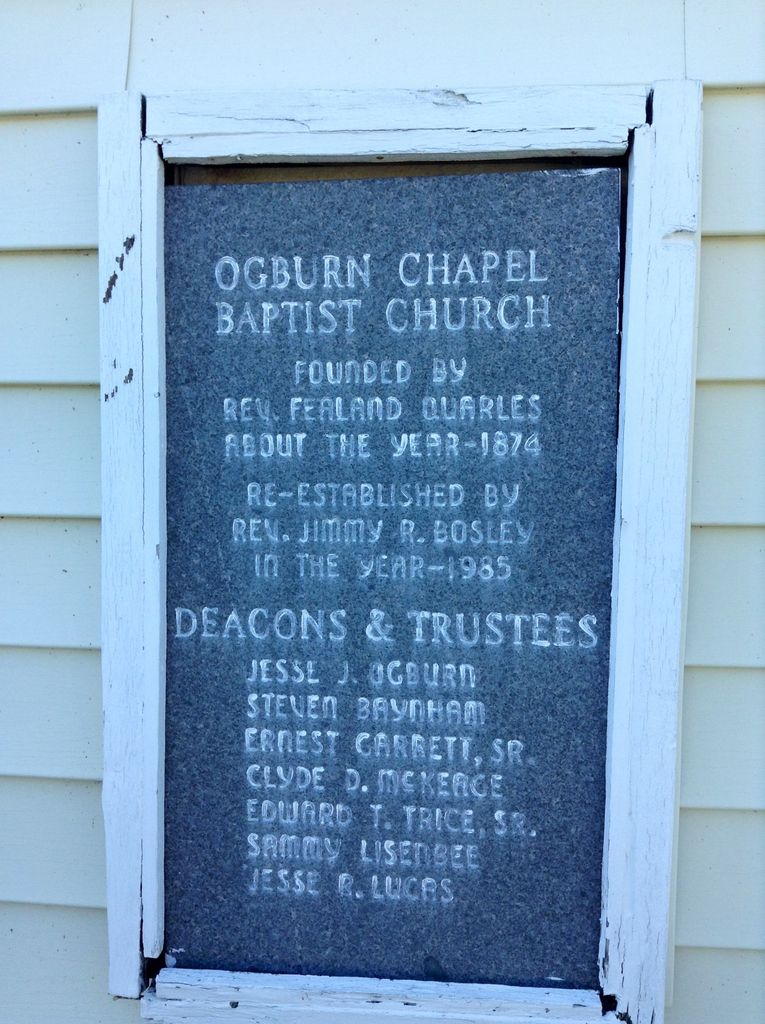
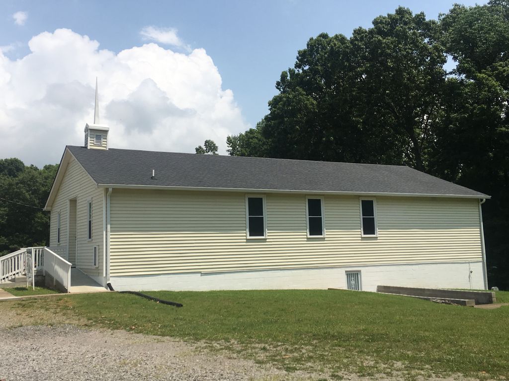
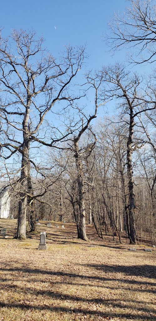
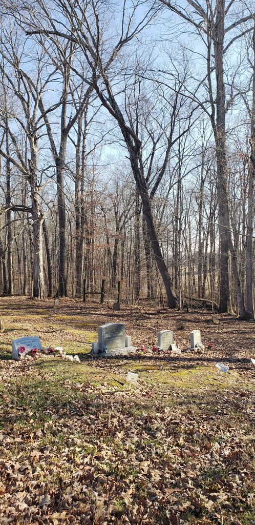
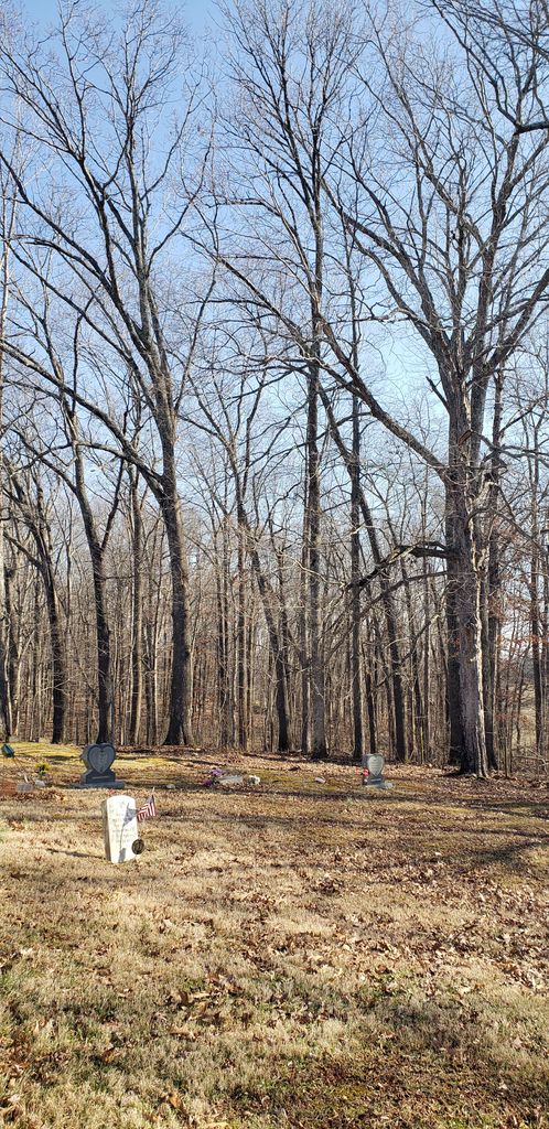
| Description | : | Founded by Rev. Fealand Quarles around 1874. Re-established by Rev. Jimmy R. Bosley in 1985. There are several unmarked graves in this cemetery, and quite a few without headstones. Some are right up in the treeline, so you have to look carefully. A few of the older grave sites are actually in the woods behind the church. |
frequently asked questions (FAQ):
-
Where is Ogburn Chapel Missionary Baptist Church Cemetery?
Ogburn Chapel Missionary Baptist Church Cemetery is located at 1660 Ogburn Chapel Rd Clarksville, Montgomery County ,Tennessee , 37042USA.
-
Ogburn Chapel Missionary Baptist Church Cemetery cemetery's updated grave count on graveviews.com?
0 memorials
-
Where are the coordinates of the Ogburn Chapel Missionary Baptist Church Cemetery?
Latitude: 36.5099220
Longitude: -87.4634552
Nearby Cemetories:
1. Mount Pleasant United Methodist Church Cemetery
Montgomery County, USA
Coordinate: 36.5064000, -87.4508000
2. Dotsonville Church Of Christ Cemetery
Montgomery County, USA
Coordinate: 36.4965355, -87.4699158
3. Liberty Cumberland Church Cemetery
Clarksville, Montgomery County, USA
Coordinate: 36.5454800, -87.4509220
4. Howard Family Cemetery
Clarksville, Montgomery County, USA
Coordinate: 36.5516070, -87.4340770
5. Alex Yarbrough Cemetery
Cumberland Heights, Montgomery County, USA
Coordinate: 36.5039650, -87.3964180
6. Macedonia Cemetery
Clarksville, Montgomery County, USA
Coordinate: 36.5040190, -87.3960360
7. Martin Chapel Cemetery
Cumberland Heights, Montgomery County, USA
Coordinate: 36.4647060, -87.4181140
8. Mount Pisgah Cemetery
Cumberland Heights, Montgomery County, USA
Coordinate: 36.5064380, -87.3891760
9. Halliburton Cemetery
Montgomery County, USA
Coordinate: 36.4478340, -87.4522770
10. Hiter Cemetery
Montgomery County, USA
Coordinate: 36.4588450, -87.4174400
11. Amos Hancock & Robert Bracey Cemetery #2
Fort Campbell, Christian County, USA
Coordinate: 36.5759174, -87.4804111
12. Gum Springs Baptist Church Cemetery
Montgomery County, USA
Coordinate: 36.4954796, -87.3815384
13. Keesee Cemetery
Montgomery County, USA
Coordinate: 36.4658012, -87.3989029
14. Kizzee Cemetery
Montgomery County, USA
Coordinate: 36.4651270, -87.3987720
15. James T. Morrison Cemetery
Fort Campbell, Christian County, USA
Coordinate: 36.5803274, -87.4745138
16. Blooming Grove Baptist Cemetery
Montgomery County, USA
Coordinate: 36.4853300, -87.5486200
17. Corbandale Cemetery
Corbandale, Montgomery County, USA
Coordinate: 36.4488900, -87.5133020
18. Antioch Methodist Church Cemetery
Clarksville, Montgomery County, USA
Coordinate: 36.4487610, -87.4005966
19. Bob Yarbrough Cemetery
Montgomery County, USA
Coordinate: 36.4317913, -87.4393204
20. John and Wilhelmena Miller Family Cemetery
Clarksville, Montgomery County, USA
Coordinate: 36.5053180, -87.3614680
21. Outlaw Farm Cemetery
Corbandale, Montgomery County, USA
Coordinate: 36.4474750, -87.5311970
22. Armstead Cemetery
Clarksville, Montgomery County, USA
Coordinate: 36.5890000, -87.4257350
23. Mount Lebanon Cemetery
Clarksville, Montgomery County, USA
Coordinate: 36.4560780, -87.3817050
24. Kenwood Baptist Church Cemetery
Kenwood, Montgomery County, USA
Coordinate: 36.5752820, -87.3895140