| Memorials | : | 34 |
| Location | : | Hubbardston, Worcester County, USA |
| Website | : | www.hubbardstonma.us/pages/HubbardstonMA_BComm/Cem/cemet |
| Coordinate | : | 42.4754140, -72.0054840 |
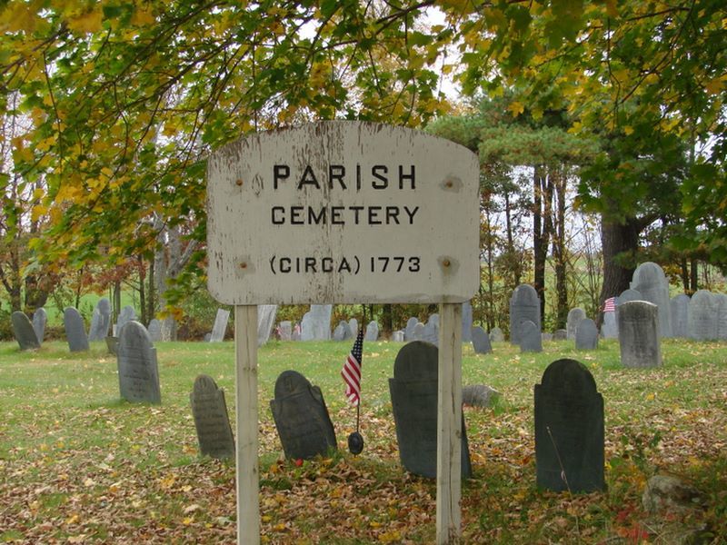
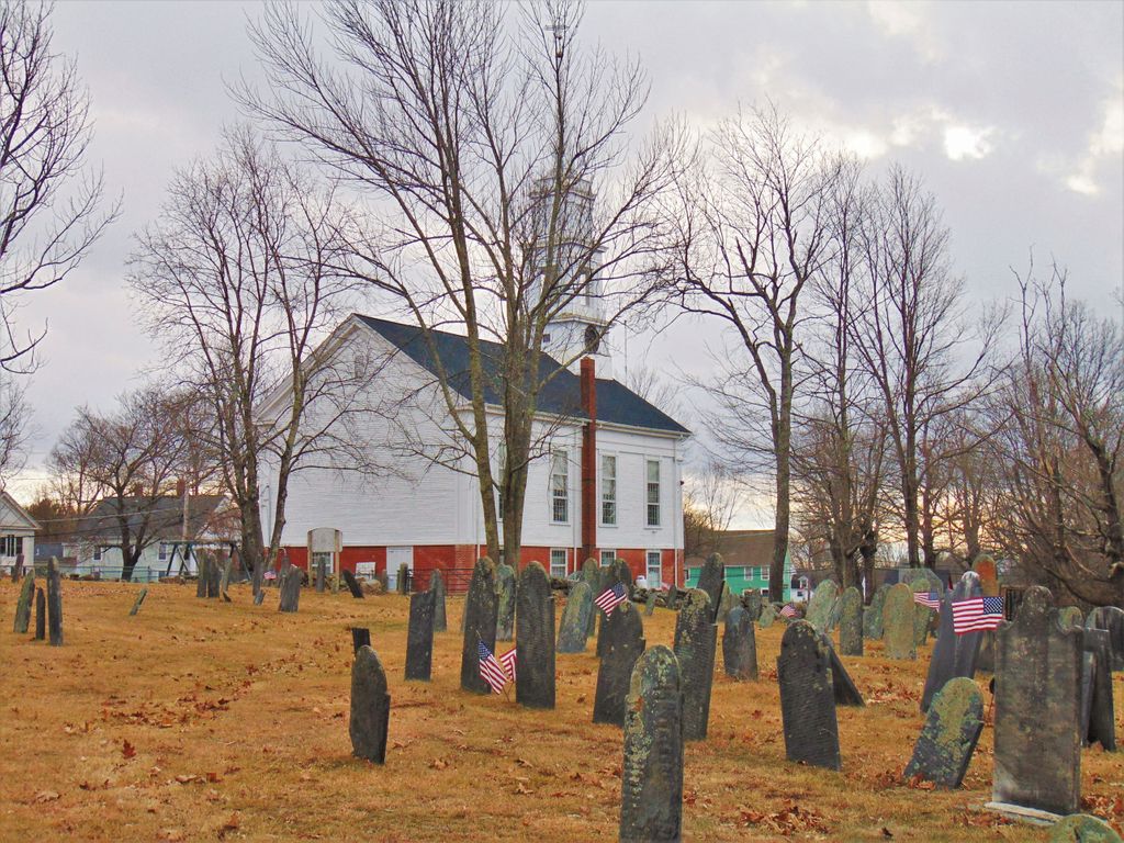
| Description | : | This cemetery is the oldest in the town of Hubbardston. It is located behind the Federated Church in the center of town at the intersection with Brigham Road. There is no access to the cemetery from Brigham Road. To access the cemetery use the dirt drive just north of Brigham Road that leads from Route 68 up to the north side of the church. |
frequently asked questions (FAQ):
-
Where is Parish Cemetery?
Parish Cemetery is located at Main Street (Route 68) Hubbardston, Worcester County ,Massachusetts , 01452USA.
-
Parish Cemetery cemetery's updated grave count on graveviews.com?
34 memorials
-
Where are the coordinates of the Parish Cemetery?
Latitude: 42.4754140
Longitude: -72.0054840
Nearby Cemetories:
1. Brookside Cemetery
Hubbardston, Worcester County, USA
Coordinate: 42.4662700, -71.9993400
2. Pine Grove Cemetery
Hubbardston, Worcester County, USA
Coordinate: 42.4653015, -72.0119019
3. Rural Glen Cemetery
Hubbardston, Worcester County, USA
Coordinate: 42.4653015, -71.9985962
4. Evergreen Cemetery
Hubbardston, Worcester County, USA
Coordinate: 42.4630750, -71.9974320
5. Lovewell Cemetery
Hubbardston, Worcester County, USA
Coordinate: 42.4961900, -72.0096100
6. Forest Hill Cemetery
Hubbardston, Worcester County, USA
Coordinate: 42.4763985, -72.0361023
7. Greenwood Cemetery
Hubbardston, Worcester County, USA
Coordinate: 42.4984700, -71.9812300
8. Route 62 Cemetery
Hubbardston, Worcester County, USA
Coordinate: 42.4426910, -72.0014980
9. Clark Cemetery
Hubbardston, Worcester County, USA
Coordinate: 42.4840900, -71.9587800
10. Warren Cemetery
Hubbardston, Worcester County, USA
Coordinate: 42.5240310, -72.0008110
11. Parker Cemetery
Barre, Worcester County, USA
Coordinate: 42.4250800, -72.0240400
12. Walker Burial Ground
Barre, Worcester County, USA
Coordinate: 42.4374500, -72.0605600
13. Harty Cemetery
Hubbardston, Worcester County, USA
Coordinate: 42.4791550, -72.0888520
14. Number 9 Cemetery
Barre, Worcester County, USA
Coordinate: 42.4725000, -72.0910800
15. West Cemetery
Princeton, Worcester County, USA
Coordinate: 42.4454100, -71.9256500
16. Riverside Cemetery
Barre, Worcester County, USA
Coordinate: 42.4185982, -72.0516968
17. Number 4 Cemetery
Barre, Worcester County, USA
Coordinate: 42.4440600, -72.0869700
18. Goose Hill Cemetery
Rutland, Worcester County, USA
Coordinate: 42.3997400, -71.9914000
19. Rutland Prison Camp Cemetery
Rutland, Worcester County, USA
Coordinate: 42.3988500, -71.9923800
20. Williams Cemetery
Petersham, Worcester County, USA
Coordinate: 42.4786500, -72.1148400
21. Green Bower Cemetery
Gardner, Worcester County, USA
Coordinate: 42.5555992, -71.9860992
22. Glen Valley Cemetery
Barre, Worcester County, USA
Coordinate: 42.4199982, -72.0916977
23. Caldwell Cemetery
Barre, Worcester County, USA
Coordinate: 42.4105988, -72.0817032
24. Coldbrook Cemetery
Barre, Worcester County, USA
Coordinate: 42.3944016, -72.0541992


