
| Memorials | : | 3 |
| Location | : | Ironton, Iron County, USA |
| Coordinate | : | 37.5951410, -90.6331090 |
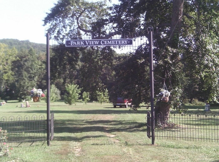
| Description | : | Was formely known as the County Cemetery, Colored Cemetery or Graveyard, and the Ironton City Cemetery. Also referred to as the Washington Cemetery on some death certificates. It is believed to have been established about 1860 as a burial ground for paupers. Some of the casualities, mainly Union soldiers killed or mortally wounded and later died from their wounds or disease at the Battle of Pilot Knob in 1864 were buried here. They were moved to Jefferson Barracks in St Louis in 1868 by the government. Between the end of the Civil War and the late 1800's, this ground became... Read More |
frequently asked questions (FAQ):
-
Where is Park View Cemetery?
Park View Cemetery is located at Ironton, Iron County ,Missouri ,USA.
-
Park View Cemetery cemetery's updated grave count on graveviews.com?
3 memorials
-
Where are the coordinates of the Park View Cemetery?
Latitude: 37.5951410
Longitude: -90.6331090
Nearby Cemetories:
1. Saint Pauls Episcopal Church Memorial Gard
Ironton, Iron County, USA
Coordinate: 37.5998300, -90.6270800
2. Arcadia Valley Memorial Park
Arcadia, Iron County, USA
Coordinate: 37.5936012, -90.6188965
3. Ursuline Convent Cemetery
Arcadia, Iron County, USA
Coordinate: 37.5843900, -90.6280500
4. Masonic Cemetery
Ironton, Iron County, USA
Coordinate: 37.5962200, -90.6178920
5. Knights of Pythias Cemetery
Ironton, Iron County, USA
Coordinate: 37.5952360, -90.6172940
6. Russell Cemetery
Iron County, USA
Coordinate: 37.5905991, -90.6175003
7. South Rifle Pit Ft Davidson
Iron County, USA
Coordinate: 37.6183450, -90.6395670
8. Schwab Cemetery
Pilot Knob, Iron County, USA
Coordinate: 37.6143990, -90.6603012
9. Iron County Poor Farm Cemetery
Iron County, USA
Coordinate: 37.5887730, -90.5941840
10. Old Pilot Knob Cemetery
Iron County, USA
Coordinate: 37.6286400, -90.6368200
11. Pilot Knob Cemetery
Pilot Knob, Iron County, USA
Coordinate: 37.6288986, -90.6205978
12. Cove Cemetery
Arcadia, Iron County, USA
Coordinate: 37.5769005, -90.5849991
13. Pilot Knob Catholic Church Cemetery
Pilot Knob, Iron County, USA
Coordinate: 37.6410400, -90.6436100
14. Kammholz Cemetery
Snow Hollow Lake, Iron County, USA
Coordinate: 37.6293000, -90.6879800
15. Middlebrook Cemetery
Middlebrook, Iron County, USA
Coordinate: 37.6575400, -90.6468700
16. Brown Cemetery
Iron County, USA
Coordinate: 37.6006012, -90.5488968
17. Link Cemetery
Iron County, USA
Coordinate: 37.6258011, -90.7097015
18. Graniteville Cemetery
Iron County, USA
Coordinate: 37.6563300, -90.6780400
19. Ivester Cemetery
Arcadia, Iron County, USA
Coordinate: 37.5225200, -90.6446600
20. Blanton Cemetery
Iron County, USA
Coordinate: 37.5463982, -90.5552979
21. Allgier Cemetery
Iron County, USA
Coordinate: 37.5292015, -90.5725021
22. Allgier-Flatwoods-Lashley Graveyard
Iron County, USA
Coordinate: 37.5308700, -90.5680300
23. Roselle Graniteview Cemetery
Roselle, Madison County, USA
Coordinate: 37.6000000, -90.5262000
24. Rebel Cemetery
Iron County, USA
Coordinate: 37.5311012, -90.5582962