
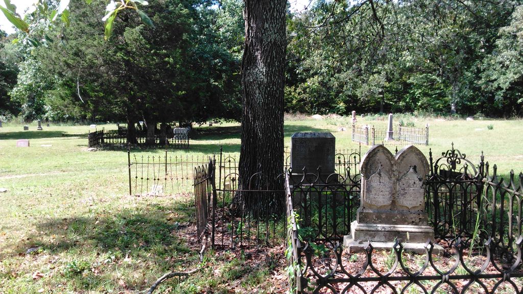
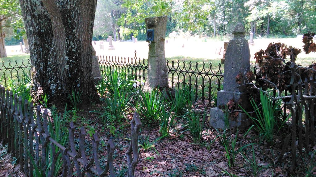
| Memorials | : | 6 |
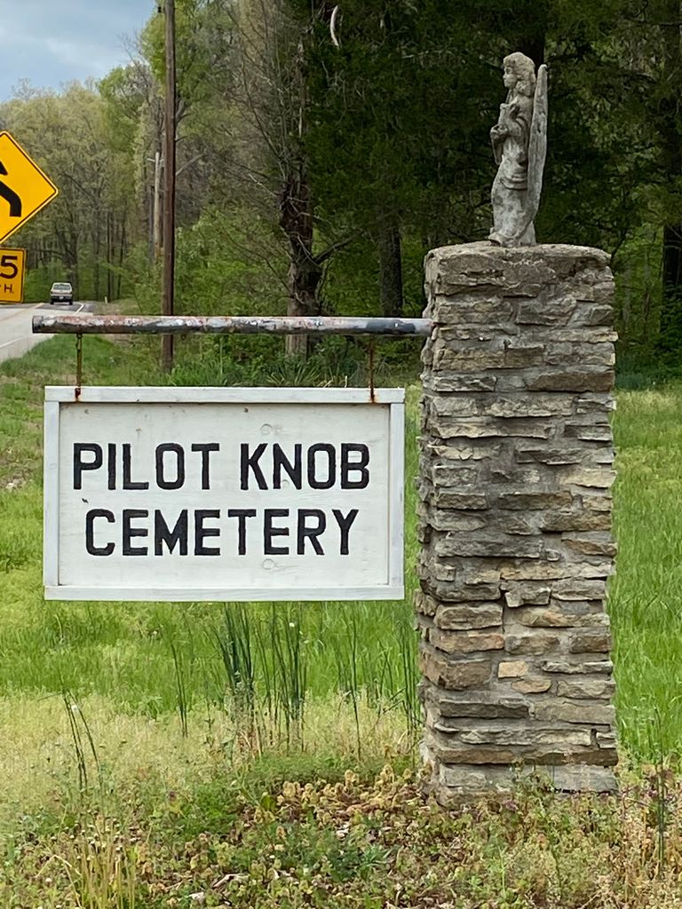
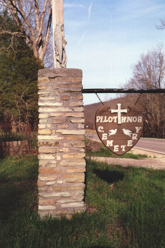
| Location | : | Pilot Knob, Iron County, USA |
| Coordinate | : | 37.6288986, -90.6205978 |
frequently asked questions (FAQ):
-
Where is Pilot Knob Cemetery?
Pilot Knob Cemetery is located at Pilot Knob, Iron County ,Missouri ,USA.
-
Pilot Knob Cemetery cemetery's updated grave count on graveviews.com?
5 memorials
-
Where are the coordinates of the Pilot Knob Cemetery?
Latitude: 37.6288986
Longitude: -90.6205978

Nearby Cemetories:
1. Old Pilot Knob Cemetery
Iron County, USA
Coordinate: 37.6286400, -90.6368200
2. South Rifle Pit Ft Davidson
Iron County, USA
Coordinate: 37.6183450, -90.6395670
3. Pilot Knob Catholic Church Cemetery
Pilot Knob, Iron County, USA
Coordinate: 37.6410400, -90.6436100
4. Saint Pauls Episcopal Church Memorial Gard
Ironton, Iron County, USA
Coordinate: 37.5998300, -90.6270800
5. Masonic Cemetery
Ironton, Iron County, USA
Coordinate: 37.5962200, -90.6178920
6. Knights of Pythias Cemetery
Ironton, Iron County, USA
Coordinate: 37.5952360, -90.6172940
7. Schwab Cemetery
Pilot Knob, Iron County, USA
Coordinate: 37.6143990, -90.6603012
8. Park View Cemetery
Ironton, Iron County, USA
Coordinate: 37.5951410, -90.6331090
9. Arcadia Valley Memorial Park
Arcadia, Iron County, USA
Coordinate: 37.5936012, -90.6188965
10. Middlebrook Cemetery
Middlebrook, Iron County, USA
Coordinate: 37.6575400, -90.6468700
11. Russell Cemetery
Iron County, USA
Coordinate: 37.5905991, -90.6175003
12. Ursuline Convent Cemetery
Arcadia, Iron County, USA
Coordinate: 37.5843900, -90.6280500
13. Iron County Poor Farm Cemetery
Iron County, USA
Coordinate: 37.5887730, -90.5941840
14. Graniteville Cemetery
Iron County, USA
Coordinate: 37.6563300, -90.6780400
15. Kammholz Cemetery
Snow Hollow Lake, Iron County, USA
Coordinate: 37.6293000, -90.6879800
16. Cove Cemetery
Arcadia, Iron County, USA
Coordinate: 37.5769005, -90.5849991
17. Brown Cemetery
Iron County, USA
Coordinate: 37.6006012, -90.5488968
18. Iron Mountain Cemetery
Iron Mountain, St. Francois County, USA
Coordinate: 37.6924000, -90.6369000
19. Link Cemetery
Iron County, USA
Coordinate: 37.6258011, -90.7097015
20. Thomas Cemetery
Iron County, USA
Coordinate: 37.6627998, -90.7082977
21. Roselle Graniteview Cemetery
Roselle, Madison County, USA
Coordinate: 37.6000000, -90.5262000
22. Williams Cemetery
Doe Run, St. Francois County, USA
Coordinate: 37.7049000, -90.5655400
23. Blanton Cemetery
Iron County, USA
Coordinate: 37.5463982, -90.5552979
24. Allgier-Flatwoods-Lashley Graveyard
Iron County, USA
Coordinate: 37.5308700, -90.5680300