
| Memorials | : | 0 |
| Location | : | Bloomfield Township, Oakland County, USA |
| Coordinate | : | 42.6044640, -83.2385790 |
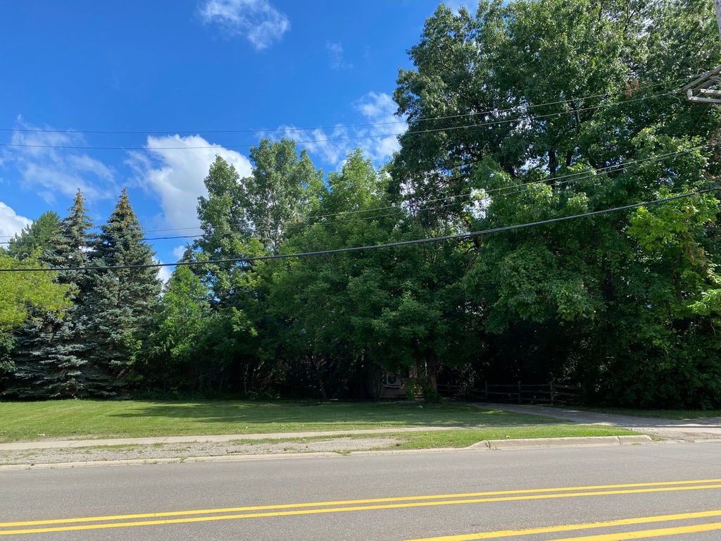
| Description | : | Off of Square Lake Road, East of Opdyke, next to The Heathers Condominiums. The property is abandoned. |
frequently asked questions (FAQ):
-
Where is Payne-Waugh Cemetery?
Payne-Waugh Cemetery is located at E Square Lake Road Bloomfield Township, Oakland County ,Michigan , 48304USA.
-
Payne-Waugh Cemetery cemetery's updated grave count on graveviews.com?
0 memorials
-
Where are the coordinates of the Payne-Waugh Cemetery?
Latitude: 42.6044640
Longitude: -83.2385790
Nearby Cemetories:
1. Saint Hugo of the Hills Columbarium
Bloomfield Hills, Oakland County, USA
Coordinate: 42.5927391, -83.2477036
2. Beautiful Savior Lutheran Church Columbarium
Bloomfield Hills, Oakland County, USA
Coordinate: 42.5984290, -83.2092050
3. Bloomfield Hills Cemetery (Defunct)
Bloomfield Hills, Oakland County, USA
Coordinate: 42.5811111, -83.2563889
4. Aaron Webster Cemetery
Auburn Hills, Oakland County, USA
Coordinate: 42.6316605, -83.2230606
5. Beach Cemetery
Troy, Oakland County, USA
Coordinate: 42.5936012, -83.1980972
6. Christ Church Cranbrook Columbarium
Bloomfield Hills, Oakland County, USA
Coordinate: 42.5672188, -83.2440186
7. Kirk in the Hills Columbarium
Bloomfield Hills, Oakland County, USA
Coordinate: 42.5810394, -83.2942886
8. Oak Hill Cemetery
Pontiac, Oakland County, USA
Coordinate: 42.6432991, -83.2842026
9. Greenwood Cemetery
Birmingham, Oakland County, USA
Coordinate: 42.5539017, -83.2238998
10. Gilbert Lake Cemetery (Defunct)
Bloomfield, Oakland County, USA
Coordinate: 42.5568800, -83.2799500
11. Perry Mount Park Cemetery
Pontiac, Oakland County, USA
Coordinate: 42.6563072, -83.2701950
12. Lutheran Church of the Redeemer Columbarium
Birmingham, Oakland County, USA
Coordinate: 42.5463540, -83.2373950
13. First Presbyterian Church Columbarium
Birmingham, Oakland County, USA
Coordinate: 42.5463380, -83.2351040
14. White Chapel Memorial Park Cemetery
Troy, Oakland County, USA
Coordinate: 42.5856018, -83.1635971
15. First United Methodist Church Memorial Garden
Birmingham, Oakland County, USA
Coordinate: 42.5454370, -83.2330870
16. Saint James Episcopal Church Columbarium
Birmingham, Oakland County, USA
Coordinate: 42.5465088, -83.2179642
17. Mount Hope Cemetery
Pontiac, Oakland County, USA
Coordinate: 42.6267014, -83.3153000
18. Crooks Road Cemetery
Troy, Oakland County, USA
Coordinate: 42.5727997, -83.1680984
19. Perrin Cemetery
Troy, Oakland County, USA
Coordinate: 42.5398254, -83.1857605
20. Northbrook Presbyterian Church Columbarium
Beverly Hills, Oakland County, USA
Coordinate: 42.5297550, -83.2657280
21. Clover Hill Park Cemetery
Birmingham, Oakland County, USA
Coordinate: 42.5349998, -83.1885986
22. Pine Lake Cemetery
West Bloomfield, Oakland County, USA
Coordinate: 42.5736961, -83.3371429
23. Union Corners Cemetery
Troy, Oakland County, USA
Coordinate: 42.6074982, -83.1256027
24. Acacia Park Cemetery
Beverly Hills, Oakland County, USA
Coordinate: 42.5217018, -83.2197037