| Memorials | : | 0 |
| Location | : | Penistaja, Sandoval County, USA |
| Coordinate | : | 35.9659700, -107.2201000 |
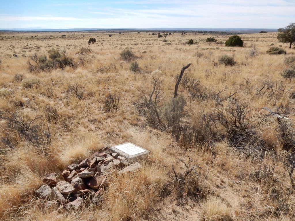
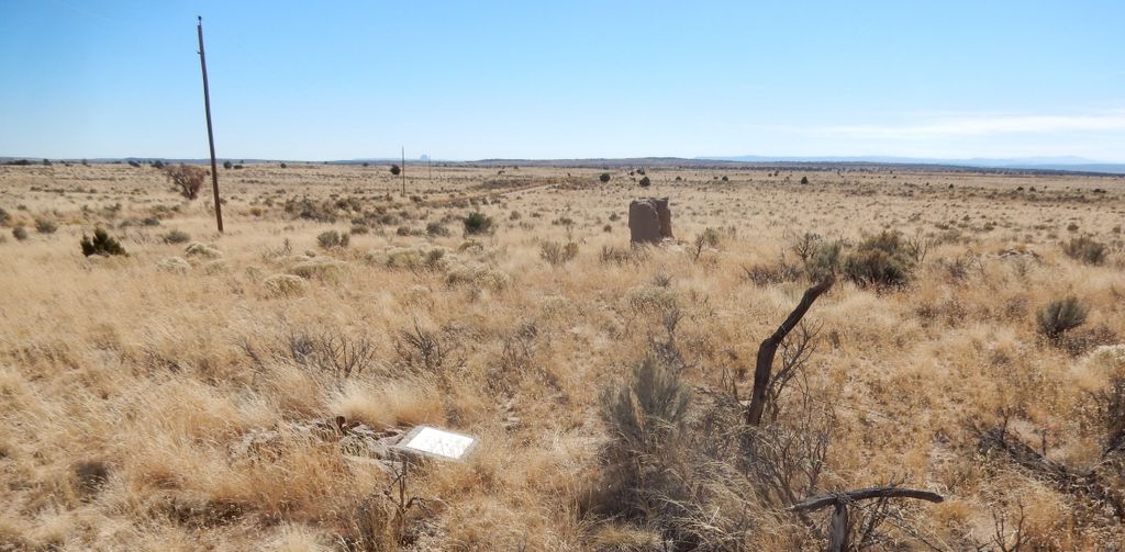
| Description | : | Penistaja Cemetery Penistaja, Sandoval Co., NM (Ghost Town – Neglected) The early pioneer community of Penistaja was first settled at Penistaja Springs, a source of water at the base of a mesa on the north-east side of the community. It was a small farming and stock raising community of about a dozen families. Very little remains of the original community. The name Penistaja comes from the Navajo word meaning "forced to sit". In 1970, the state of New Mexico officially named the State Soil after this early small pioneer community. ... Read More |
frequently asked questions (FAQ):
-
Where is Penistaja Cemetery?
Penistaja Cemetery is located at Penistaja, Sandoval County ,New Mexico ,USA.
-
Penistaja Cemetery cemetery's updated grave count on graveviews.com?
0 memorials
-
Where are the coordinates of the Penistaja Cemetery?
Latitude: 35.9659700
Longitude: -107.2201000
Nearby Cemetories:
1. Torreon Mission Cemetery
Torreon, Sandoval County, USA
Coordinate: 35.7987033, -107.1785538
2. Torreon Navajo Mission Cemetery
Torreon, Sandoval County, USA
Coordinate: 35.7978240, -107.1834540
3. Assembly Of God Cemetery
Cuba, Sandoval County, USA
Coordinate: 36.0058810, -106.9679770
4. Cuba Presbyterian Cemetery
Cuba, Sandoval County, USA
Coordinate: 36.0062050, -106.9512610
5. Immaculate Conception Catholic Cemetery
Cuba, Sandoval County, USA
Coordinate: 36.0266460, -106.9471730
6. Cuba Baptist Cemetery
Cuba, Sandoval County, USA
Coordinate: 36.0272380, -106.9338460
7. Star Lake Mission Cemetery
McKinley County, USA
Coordinate: 35.8688200, -107.4907900
8. Santo Nino Mission Cemetery
La Jara, Sandoval County, USA
Coordinate: 36.0961080, -106.9573680
9. La Ventana Cemetery
LaVentana, Sandoval County, USA
Coordinate: 35.7923990, -106.9932750
10. Regina Cemetery
Sandoval County, USA
Coordinate: 36.1663050, -106.9653230
11. Counselor Community Cemetery
Counselor, Sandoval County, USA
Coordinate: 36.2099660, -107.4579830
12. La Sociedad de Nuestro Padre Jesus Nazareno de San
San Luis, Sandoval County, USA
Coordinate: 35.6841700, -107.0506880
13. San Luis Cemetery
Sandoval County, USA
Coordinate: 35.6825290, -107.0494660
14. Cabezon Cemetery
Cabezon, Sandoval County, USA
Coordinate: 35.6267600, -107.1001670
15. Ojito Cemetery
Lindrith, Rio Arriba County, USA
Coordinate: 36.3030900, -107.0455030
16. Lindrith Cemetery
Lindrith, Rio Arriba County, USA
Coordinate: 36.3033670, -107.0456310
17. Haynes Cemetery
Rio Arriba County, USA
Coordinate: 36.3129840, -107.4190540
18. Lybrook LDS Cemetery
Lybrook, Rio Arriba County, USA
Coordinate: 36.2349800, -107.5738600
19. Gallina Community Cemetery
Rio Arriba County, USA
Coordinate: 36.2319420, -106.8568230
20. Capulin Cemetery
Rio Arriba County, USA
Coordinate: 36.2245290, -106.8003550
21. Cordova Cemetery
Capulin, Rio Arriba County, USA
Coordinate: 36.2247200, -106.8000200
22. Guadalupe Cemetery
Sandoval County, USA
Coordinate: 35.5358009, -107.1536026
23. Gavilan Cemetery
Lindrith, Rio Arriba County, USA
Coordinate: 36.3909570, -107.0371340
24. Whitehorse Lake Cemetery
Whitehorse, McKinley County, USA
Coordinate: 35.8117800, -107.7478300


