
| Memorials | : | 0 |
| Location | : | Pontiac, Livingston County, USA |
| Coordinate | : | 40.9317550, -88.6710170 |
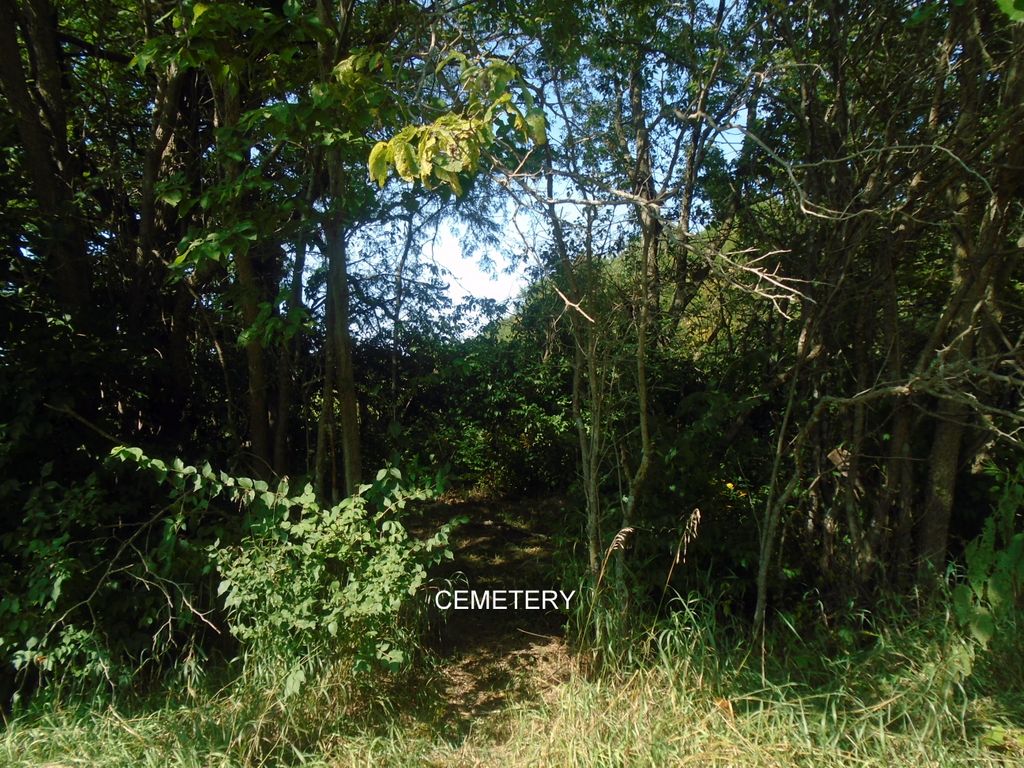
| Description | : | Pennington Farm Cemetery -Abandoned. The area is open to the public during daylight hours until dusk. Section 36-Amity Township Located on Humiston Estate at Humiston Woods. Humiston Woods is located between Livingston County roads 1100 East and 1200 East on 2100 North Road, about 6 miles west of exit #201 on I-55. There is a 335 acre hardwood forest and 8 acre restored prairie along the Vermilion River. -- Taken from Livingston County, Illinois Cemetery Records Book circa 1980: "PENNINGTON FARM CEMETERY - LOCATED ONE/EIGHTH MILE WEST OF LIVINGSTON COUNTY ROADS - 20961 N. & 1100 E. ROAD. THIS IS... Read More |
frequently asked questions (FAQ):
-
Where is Pennington Farm Cemetery?
Pennington Farm Cemetery is located at Amity Township Pontiac, Livingston County ,Illinois ,USA.
-
Pennington Farm Cemetery cemetery's updated grave count on graveviews.com?
0 memorials
-
Where are the coordinates of the Pennington Farm Cemetery?
Latitude: 40.9317550
Longitude: -88.6710170

Nearby Cemetories:
1. Rowe Cemetery
Pontiac, Livingston County, USA
Coordinate: 40.9143982, -88.6960983
2. McMillan Cemetery
Livingston County, USA
Coordinate: 40.9093900, -88.6919000
3. Corbin's Cemetery
Pontiac, Livingston County, USA
Coordinate: 40.9230890, -88.7378440
4. Zooks Cemetery
Cornell, Livingston County, USA
Coordinate: 40.9606018, -88.7341995
5. Dunkard Cemetery
Cornell, Livingston County, USA
Coordinate: 40.9608002, -88.7341995
6. Cornell Cemetery
Cornell, Livingston County, USA
Coordinate: 40.9749985, -88.7277985
7. Memorial Park Cemetery
Pontiac, Livingston County, USA
Coordinate: 40.9358300, -88.5891700
8. Camp Cemetery
Pontiac, Livingston County, USA
Coordinate: 40.9900017, -88.6393967
9. Johnson Cemetery
Livingston County, USA
Coordinate: 40.9132996, -88.7528000
10. South Side Cemetery
Pontiac, Livingston County, USA
Coordinate: 40.8758011, -88.6260986
11. Bayou Cemetery
Cornell, Livingston County, USA
Coordinate: 40.9716988, -88.7463989
12. Rooks Creek Cemetery
Pontiac, Livingston County, USA
Coordinate: 40.8733101, -88.7217255
13. Walden Farm Cemetery
Livingston County, USA
Coordinate: 40.8871994, -88.7517014
14. Saint Marys Cemetery
Pontiac, Livingston County, USA
Coordinate: 40.8768997, -88.5943985
15. Earp Cemetery
Cornell, Livingston County, USA
Coordinate: 40.9510994, -88.7780991
16. Nigh Chapel Cemetery
Cornell, Livingston County, USA
Coordinate: 40.9530792, -88.7812119
17. Hadley Cemetery
Livingston County, USA
Coordinate: 41.0228004, -88.6596985
18. Calder Cemetery
Cornell, Livingston County, USA
Coordinate: 41.0264015, -88.7061005
19. Livingston County Poor Farm Cemetery
Pontiac, Livingston County, USA
Coordinate: 40.8323900, -88.6706500
20. Morris Family Cemetery
Livingston County, USA
Coordinate: 40.9813995, -88.7874985
21. Springer Cemetery
Cornell, Livingston County, USA
Coordinate: 40.9841995, -88.7878036
22. Houder Cemetery
Pontiac, Livingston County, USA
Coordinate: 40.8502998, -88.5847015
23. Swygert Cemetery
Livingston County, USA
Coordinate: 40.9108330, -88.5336110
24. Patty Cemetery
Pontiac, Livingston County, USA
Coordinate: 40.8450012, -88.5682983