
| Memorials | : | 0 |
| Location | : | Toledo Township, Chase County, USA |
| Coordinate | : | 38.3819210, -96.4209340 |
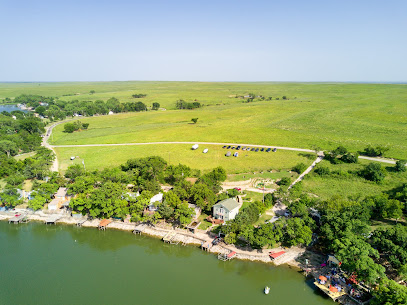
| Description | : | The map location is approximate. About 1-1/2 miles southwest of Saffordville, in the northeast corner of the southwest quarter of Section 21, Township 19 South, Range 9 East, east of Peyton Creek and north of its confluence with the Cottonwood River. |
frequently asked questions (FAQ):
-
Where is Peyton Family Cemetery?
Peyton Family Cemetery is located at Old Highway 50 Toledo Township, Chase County ,Kansas , 66869USA.
-
Peyton Family Cemetery cemetery's updated grave count on graveviews.com?
0 memorials
-
Where are the coordinates of the Peyton Family Cemetery?
Latitude: 38.3819210
Longitude: -96.4209340
Nearby Cemetories:
1. Grandview Cemetery
Plymouth, Lyon County, USA
Coordinate: 38.3838997, -96.3542023
2. Old Quaker Cemetery
Toledo, Chase County, USA
Coordinate: 38.4208100, -96.3693200
3. Hillside Cemetery
Toledo, Chase County, USA
Coordinate: 38.4305992, -96.3741989
4. Miller Cemetery
Cottonwood Falls, Chase County, USA
Coordinate: 38.3471985, -96.4916992
5. Haworth Cemetery
Plymouth, Lyon County, USA
Coordinate: 38.3804207, -96.3178024
6. Strong Township Cemetery
Strong City, Chase County, USA
Coordinate: 38.3983002, -96.5222015
7. Saint Anthony Cemetery
Strong City, Chase County, USA
Coordinate: 38.4056015, -96.5547028
8. Prairie Grove Cemetery
Cottonwood Falls, Chase County, USA
Coordinate: 38.3741989, -96.5639038
9. Cottonwood Cemetery
Emporia, Lyon County, USA
Coordinate: 38.4130096, -96.2725525
10. Simmons Cemetery
Strong City, Chase County, USA
Coordinate: 38.3988991, -96.5849991
11. McDowall Cemetery
Strong City, Chase County, USA
Coordinate: 38.4059860, -96.6022720
12. Fruitland Cemetery
Americus, Lyon County, USA
Coordinate: 38.5078011, -96.3308029
13. Bazaar Cemetery
Bazaar, Chase County, USA
Coordinate: 38.2717018, -96.5449982
14. Sharps Creek Cemetery
Bazaar, Chase County, USA
Coordinate: 38.2481400, -96.5123400
15. Greenwood Cemetery
Emporia, Lyon County, USA
Coordinate: 38.3546982, -96.2082977
16. Stark Cemetery
Olpe, Lyon County, USA
Coordinate: 38.2789600, -96.2446300
17. Maplewood Memorial Lawn Cemetery
Emporia, Lyon County, USA
Coordinate: 38.4202995, -96.2055969
18. Soden Family Cemetery
Emporia, Lyon County, USA
Coordinate: 38.3872190, -96.1813510
19. Elmdale Cemetery
Elmdale, Chase County, USA
Coordinate: 38.3778000, -96.6628036
20. Saint Andrews Episcopal Church Columbarium
Emporia, Lyon County, USA
Coordinate: 38.4084053, -96.1796799
21. Evergreen Cemetery
Emporia, Lyon County, USA
Coordinate: 38.3572006, -96.1791992
22. Americus Cemetery
Americus, Lyon County, USA
Coordinate: 38.5154686, -96.2420425
23. Lawless Cemetery
Strong City, Chase County, USA
Coordinate: 38.4496700, -96.6630200
24. Zion Cemetery
Olpe, Lyon County, USA
Coordinate: 38.2327995, -96.2474976