
| Memorials | : | 0 |
| Location | : | Regen, Landkreis Regen, Germany |
| Phone | : | +49 9921 2383 |
| Website | : | pfarrverband-regen.bistum-passau.de/pfarreien/pfarrei-regen-st-michael |
| Coordinate | : | 48.9736679, 13.1289484 |
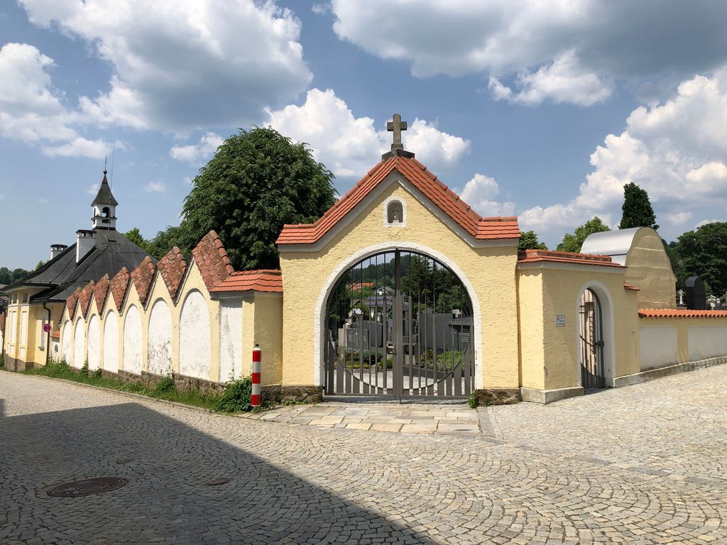
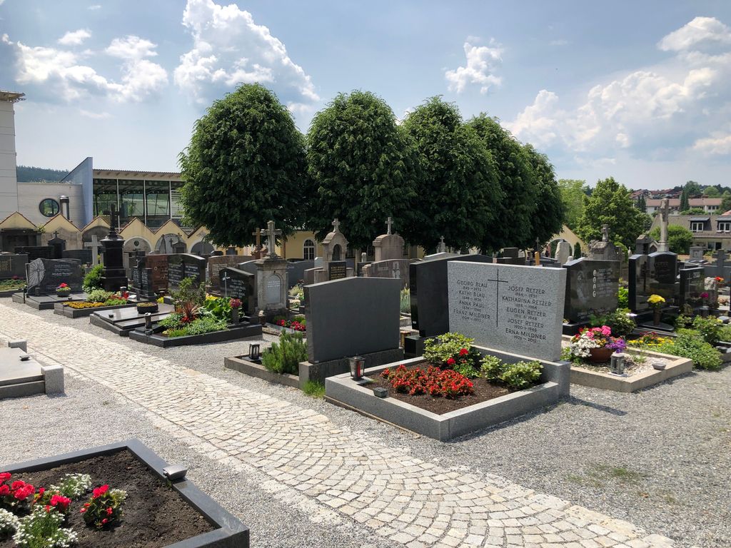
| Description | : | This catholic cemetery was founded in 1915 as an extension to the old cemetery around the church St. Michael which was a few meters away downhill. The cemetery counts about 1600 graves. |
frequently asked questions (FAQ):
-
Where is Pfarrfriedhof Regen?
Pfarrfriedhof Regen is located at Pfarrer-Biebl-Str. Regen, Landkreis Regen ,Bavaria (Bayern) , 94209Germany.
-
Pfarrfriedhof Regen cemetery's updated grave count on graveviews.com?
0 memorials
-
Where are the coordinates of the Pfarrfriedhof Regen?
Latitude: 48.9736679
Longitude: 13.1289484
Nearby Cemetories:
1. Kirche St. Michael
Regen, Landkreis Regen, Germany
Coordinate: 48.9701352, 13.1276074
2. Friedhof Langdorf-Regen
Langdorf, Landkreis Regen, Germany
Coordinate: 49.0113590, 13.1504620
3. St. Jakobus der Ältere Church Cemetery
Bischofsmais, Landkreis Regen, Germany
Coordinate: 48.9191000, 13.0728000
4. Friedhof Zwiesel
Zwiesel, Landkreis Regen, Germany
Coordinate: 49.0153700, 13.2367100
5. Friedhof Ruhmannsfelden
Ruhmannsfelden, Landkreis Regen, Germany
Coordinate: 48.9855501, 12.9893085
6. Bodenmais Friedhof
Bodenmais, Landkreis Regen, Germany
Coordinate: 49.0691810, 13.0951600
7. Friedhof Patersdorf
Patersdorf, Landkreis Regen, Germany
Coordinate: 49.0133615, 12.9868946
8. Friedhof Teisnach
Teisnach, Landkreis Regen, Germany
Coordinate: 49.0371363, 12.9911311
9. Pfarrkirche Mariä Himmelfahrt
Frauenau, Landkreis Regen, Germany
Coordinate: 48.9894210, 13.2997940
10. Friedhof Grafling
Grafling, Landkreis Deggendorf, Germany
Coordinate: 48.8974923, 12.9750320
11. Friedhof Schaufling
Schaufling, Landkreis Deggendorf, Germany
Coordinate: 48.8453672, 13.0643871
12. Friedhof Schöfweg
Schöfweg, Landkreis Freyung-Grafenau, Germany
Coordinate: 48.8392757, 13.2264352
13. Friedhof Kirchaitnach
Kirchaitnach, Landkreis Regen, Germany
Coordinate: 49.0353843, 12.8885559
14. Auerbach Cemetery
Auerbach, Landkreis Deggendorf, Germany
Coordinate: 48.8029604, 13.0986468
15. hřbitov Železná Ruda
Zelezna Ruda, Okres Klatovy, Czech Republic
Coordinate: 49.1334703, 13.2324392
16. Waldfriedhof Deggendorf
Deggendorf, Landkreis Deggendorf, Germany
Coordinate: 48.8293482, 12.9658251
17. Pfarrkirche Mariä Himmelfahrt
Deggendorf, Landkreis Deggendorf, Germany
Coordinate: 48.8286100, 12.9639310
18. Klosterkirche St. Michael
Metten, Landkreis Deggendorf, Germany
Coordinate: 48.8553690, 12.9178250
19. Friedhof Viechtach
Viechtach, Landkreis Regen, Germany
Coordinate: 49.0764789, 12.8849695
20. Niederaltaich Abbey
Passau, Stadtkreis Passau, Germany
Coordinate: 48.7661110, 13.0277780
21. Friedhof Sankt Johannes der Täufer, Schöllnach
Schöllnach, Landkreis Deggendorf, Germany
Coordinate: 48.7574438, 13.1849557
22. Friedhof Steinbühl
Steinbuhl, Landkreis Cham, Germany
Coordinate: 49.1534073, 12.9326671
23. Friedhof St. Laurentius und St. Gotthard
Schwanenkirchen, Landkreis Deggendorf, Germany
Coordinate: 48.7485527, 13.1035322
24. Hřbitov Hojsova Stráž
Hojsova Straz, Okres Klatovy, Czech Republic
Coordinate: 49.2089800, 13.1989500