| Memorials | : | 0 |
| Location | : | Clear Creek Furnace, Bath County, USA |
| Coordinate | : | 38.0720140, -83.6104200 |
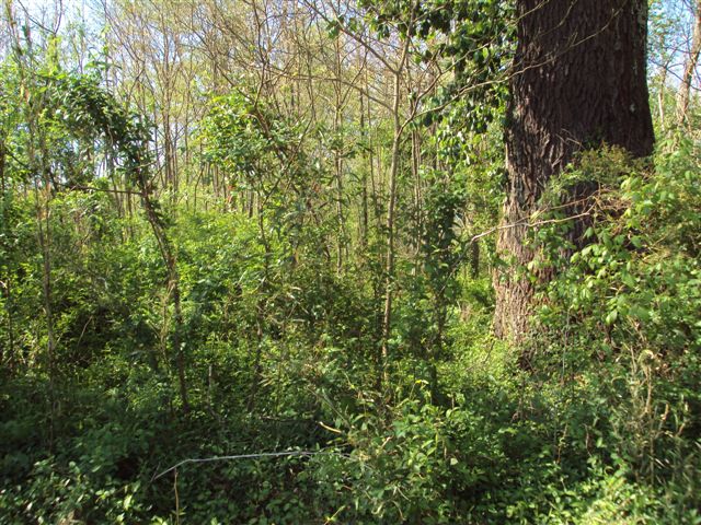
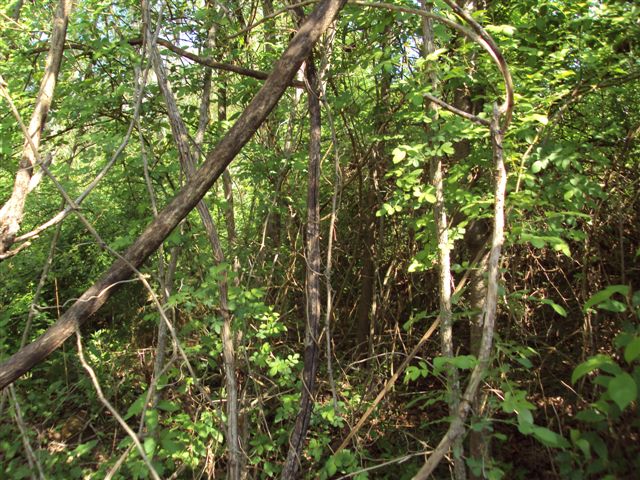
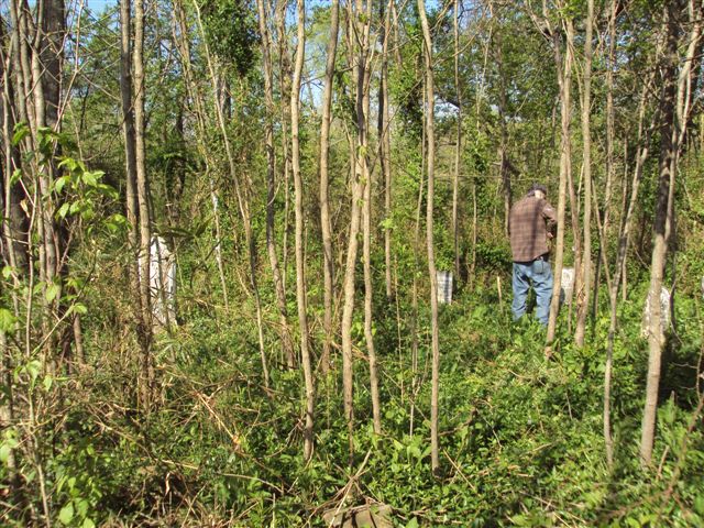
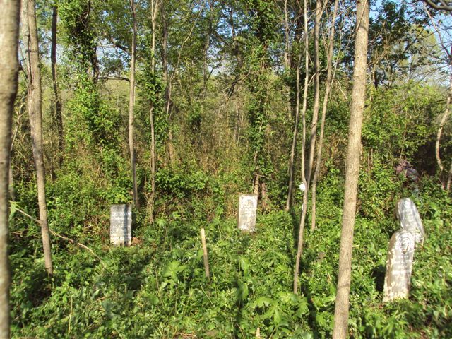
| Description | : | 3.7 miles from Salt Lick on Hwy KY 211 south. Turn left on to the Clear Creek Road. Right from Clear Creek Rd on to Simpkins Road. Then left onto a long lane. Cemetery is located at the end of this lane. This cemetery is on private land. Cemetery is over grown with trees and vines. A number of graves are un marked. |
frequently asked questions (FAQ):
-
Where is Piersall and Stapleton Cemetery?
Piersall and Stapleton Cemetery is located at left off Clear Creek Road Clear Creek Furnace, Bath County ,Kentucky , 40371USA.
-
Piersall and Stapleton Cemetery cemetery's updated grave count on graveviews.com?
0 memorials
-
Where are the coordinates of the Piersall and Stapleton Cemetery?
Latitude: 38.0720140
Longitude: -83.6104200
Nearby Cemetories:
1. Youngs Cemetery
Salt Lick, Bath County, USA
Coordinate: 38.0703930, -83.6145400
2. White Sulphur Cemetery
Clear Creek Furnace, Bath County, USA
Coordinate: 38.0677970, -83.6018320
3. McClain Cemetery
Salt Lick, Bath County, USA
Coordinate: 38.0856620, -83.6110320
4. Crouch Family Cemetery
Salt Lick, Bath County, USA
Coordinate: 38.0875470, -83.6207480
5. Norris Cemetery
Salt Lick, Bath County, USA
Coordinate: 38.0935980, -83.6168360
6. Upper Salt Lick Cemetery
Salt Lick, Bath County, USA
Coordinate: 38.0499300, -83.6189200
7. Lower Salt Lick Cemetery
Salt Lick, Bath County, USA
Coordinate: 38.1007900, -83.6242000
8. Dickerson Cemetery
Salt Lick, Bath County, USA
Coordinate: 38.1138992, -83.6091995
9. McGlothen Cemetery
Bath County, USA
Coordinate: 38.0352660, -83.6417770
10. Olympia Springs Cemetery
Olympia Springs, Bath County, USA
Coordinate: 38.0619950, -83.6736350
11. Stull Family Cemetery
Olympia, Bath County, USA
Coordinate: 38.0723580, -83.6818560
12. Griggs Cemetery
Olympia, Bath County, USA
Coordinate: 38.0731230, -83.6840880
13. Barnes and Lewis Cemetery
Bath County, USA
Coordinate: 38.1276000, -83.6316200
14. Donathan Cemetery
Menifee County, USA
Coordinate: 38.0194440, -83.5727780
15. Bath County Memorial Gardens
Salt Lick, Bath County, USA
Coordinate: 38.1320540, -83.5727400
16. Jones Cemetery
Midland, Bath County, USA
Coordinate: 38.1324997, -83.5736008
17. Flood Cemetery
Polksville, Bath County, USA
Coordinate: 38.1303710, -83.6545370
18. Carpenter Cemetery #1
Polksville, Bath County, USA
Coordinate: 38.1334200, -83.6496700
19. Polksville Cemetery
Bath County, USA
Coordinate: 38.1343040, -83.6498760
20. Arnold Ferrell Cemetery
Menifee County, USA
Coordinate: 38.0025000, -83.6308330
21. Cull Cemetery
Menifee County, USA
Coordinate: 37.9983330, -83.5950000
22. Carpenter Cemetery #4
Bath County, USA
Coordinate: 38.1297500, -83.6778000
23. Carpenter Cemetery #3
Owingsville, Bath County, USA
Coordinate: 38.1297500, -83.6778000
24. Byrd Cemetery
Menifee County, USA
Coordinate: 37.9980560, -83.6475000


