
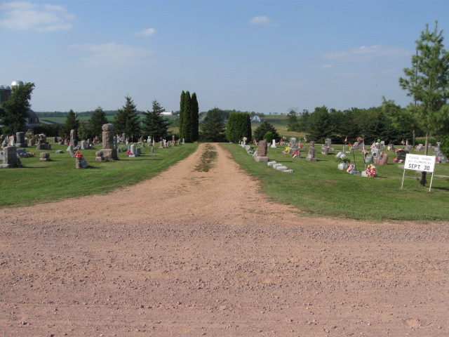
| Memorials | : | 10 |
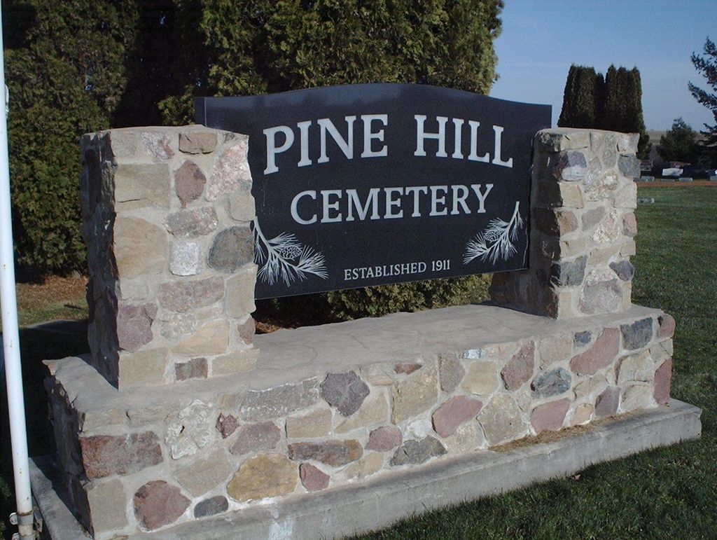
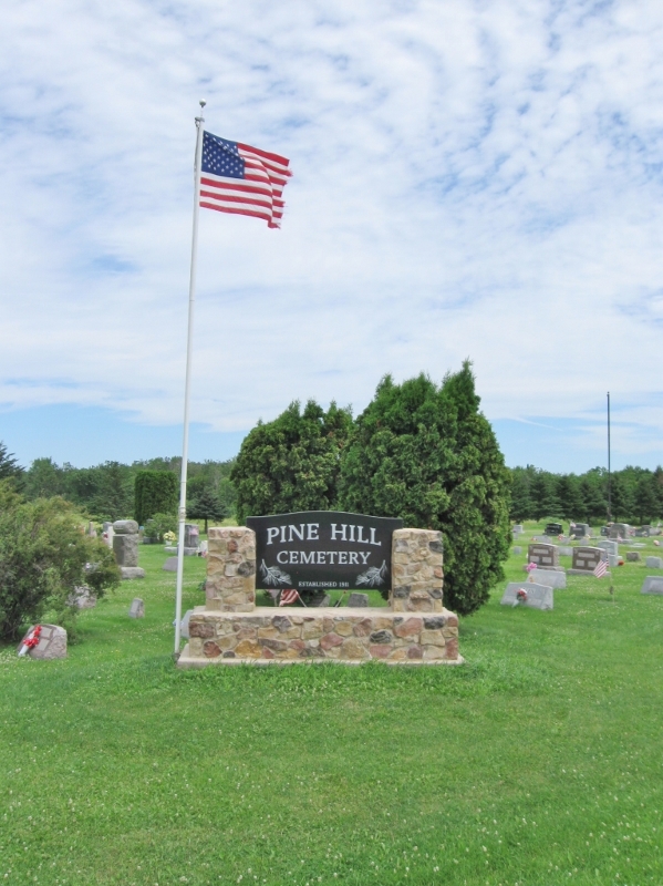
| Location | : | Curtiss, Clark County, USA |
| Coordinate | : | 44.9735985, -90.4332962 |
frequently asked questions (FAQ):
-
Where is Pine Hill Cemetery?
Pine Hill Cemetery is located at County Highway E & Pine Road Curtiss, Clark County ,Wisconsin ,USA.
-
Pine Hill Cemetery cemetery's updated grave count on graveviews.com?
10 memorials
-
Where are the coordinates of the Pine Hill Cemetery?
Latitude: 44.9735985
Longitude: -90.4332962
Nearby Cemetories:
1. Saint Paul Lutheran Cemetery
Curtiss, Clark County, USA
Coordinate: 44.9580000, -90.4489000
2. Sunny Ridge Mennonite Cemetery
Curtiss, Clark County, USA
Coordinate: 44.9624700, -90.4739400
3. Lindeman Cemetery
Dorchester, Clark County, USA
Coordinate: 45.0018600, -90.4015200
4. Colby Mennonite Cemetery
Colby, Clark County, USA
Coordinate: 44.9158000, -90.4258300
5. Saint Paul Lutheran Cemetery
Colby, Clark County, USA
Coordinate: 44.9089000, -90.4337000
6. Popple Ridge Mennonite Church Cemetery
Dorchester, Clark County, USA
Coordinate: 44.9860940, -90.3369020
7. Dorchester Memorial Cemetery
Dorchester, Clark County, USA
Coordinate: 44.9962000, -90.3366000
8. North Dorchester Memorial Cemetery
Dorchester, Clark County, USA
Coordinate: 45.0099983, -90.3352966
9. Norwegian Evangelical Lutheran Cemetery
Dorchester, Clark County, USA
Coordinate: 45.0059000, -90.3293000
10. Abbotsford Cemetery
Abbotsford, Clark County, USA
Coordinate: 44.9562000, -90.3173000
11. Saint Marys Cemetery
Holway, Taylor County, USA
Coordinate: 45.0459950, -90.5164000
12. Colby Cemetery
Colby, Clark County, USA
Coordinate: 44.9033012, -90.3360977
13. Saint Marys Catholic Cemetery
Colby, Clark County, USA
Coordinate: 44.9023000, -90.3361000
14. Christ Lutheran Cemetery
Holton, Marathon County, USA
Coordinate: 44.9600910, -90.2801080
15. Nazareth Cemetery
Withee, Clark County, USA
Coordinate: 44.9644012, -90.5986023
16. Mennonite Cemetery
Green Grove, Clark County, USA
Coordinate: 44.8574610, -90.4649630
17. Saint Lukes Lutheran Cemetery
Loyal, Clark County, USA
Coordinate: 44.8568000, -90.4648000
18. Stetsonville Public Cemetery
Stetsonville, Taylor County, USA
Coordinate: 45.0600000, -90.3151000
19. Zion Cemetery
Stetsonville, Taylor County, USA
Coordinate: 45.0621986, -90.3153000
20. Saint Marys Cemetery
Stetsonville, Taylor County, USA
Coordinate: 45.0936000, -90.3967000
21. Sacred Heart Cemetery
Stetsonville, Taylor County, USA
Coordinate: 45.0766983, -90.3296967
22. Amish Cemetery
Little Black, Taylor County, USA
Coordinate: 45.0993996, -90.4542007
23. Owen Mennonite Cemetery
Longwood, Clark County, USA
Coordinate: 44.8853310, -90.5622490
24. Saint Johns Cemetery
Riplinger, Clark County, USA
Coordinate: 44.8464012, -90.4085999