
| Memorials | : | 0 |
| Location | : | Bollinger County, USA |
| Coordinate | : | 37.4693100, -90.1314600 |
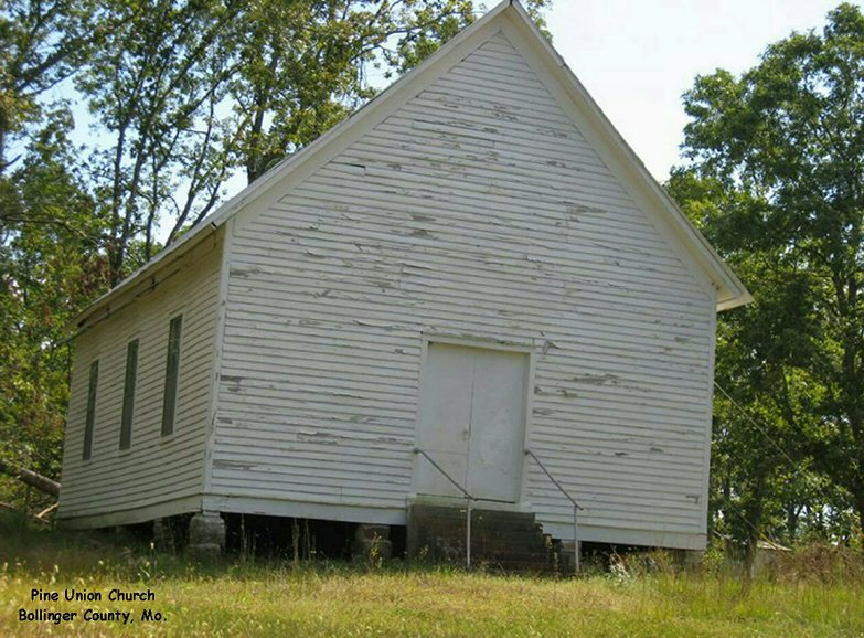
| Description | : | Located southwest of Patton, highway 72 to highway "O" to county road 872, one-eighth of a mile west of county road 862. |
frequently asked questions (FAQ):
-
Where is Pine Union Church Cemetery?
Pine Union Church Cemetery is located at Bollinger County ,Missouri ,USA.
-
Pine Union Church Cemetery cemetery's updated grave count on graveviews.com?
0 memorials
-
Where are the coordinates of the Pine Union Church Cemetery?
Latitude: 37.4693100
Longitude: -90.1314600


Nearby Cemetories:
1. Old Concord Cemetery
Bollinger County, USA
Coordinate: 37.4658012, -90.1006012
2. Liberty Congregational Methodist Church Cemetery
Bessville, Bollinger County, USA
Coordinate: 37.4537100, -90.0919700
3. Union Light Cemetery
Loyd, Bollinger County, USA
Coordinate: 37.4956131, -90.0978851
4. Rhodes Chapel Cemetery
Marquand, Madison County, USA
Coordinate: 37.4815331, -90.1804581
5. Pleasant Valley Cemetery
Gipsy, Bollinger County, USA
Coordinate: 37.4580800, -90.0801100
6. Hawn Cemetery
Bollinger County, USA
Coordinate: 37.4239006, -90.1063995
7. Slinkard Cemetery
Patton, Bollinger County, USA
Coordinate: 37.4406013, -90.0777969
8. Mouser Cemetery
Marquand, Madison County, USA
Coordinate: 37.4303017, -90.1825027
9. Mount Carmel Missionary Baptist Church Cemetery
Tallent, Bollinger County, USA
Coordinate: 37.4564438, -90.0537186
10. Snowdenville Cemetery
Cornwall, Madison County, USA
Coordinate: 37.4955000, -90.2040000
11. Whitener Cemetery
Marquand, Madison County, USA
Coordinate: 37.4089012, -90.1686020
12. McClanahan Cemetery
Madison County, USA
Coordinate: 37.5304700, -90.1713900
13. Berry Cemetery
Bollinger County, USA
Coordinate: 37.4000015, -90.1128006
14. New Bethel Congregational Methodist Church Cemeter
Bollinger County, USA
Coordinate: 37.4151450, -90.0555070
15. Pleasant Hill Cemetery
Bollinger County, USA
Coordinate: 37.5172005, -90.0449982
16. Stephens Cemetery
Marquand, Madison County, USA
Coordinate: 37.4505997, -90.2378006
17. Old Union Methodist Church Cemetery
Bessville, Bollinger County, USA
Coordinate: 37.3844719, -90.0987778
18. Hahn's Cemetery
Castor Township, Madison County, USA
Coordinate: 37.5585910, -90.1559020
19. McMurtrey Farm Cemetery
Madison County, USA
Coordinate: 37.5598296, -90.1557253
20. Mungle Cemetery
Bollinger County, USA
Coordinate: 37.5131200, -90.0264900
21. Underwood Cemetery
Fredericktown, Madison County, USA
Coordinate: 37.5564003, -90.1766968
22. Webb Yount Cemetery
Marquand, Madison County, USA
Coordinate: 37.4063988, -90.2219009
23. Patton Cemetery
Patton, Bollinger County, USA
Coordinate: 37.5022700, -90.0185200
24. Blaylock Cemetery
Madison County, USA
Coordinate: 37.3739014, -90.1524963