
| Memorials | : | 0 |
| Location | : | Jackson, Clarke County, USA |
| Coordinate | : | 31.6847000, -87.9636002 |
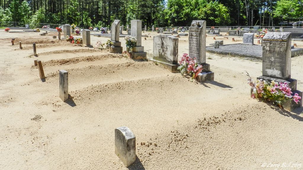
| Description | : | Cemetery is located next to the Church, on County Road 3 (Winn Rd), northwest of Jackson, AL |
frequently asked questions (FAQ):
-
Where is Pleasant Grove Baptist Church Cemetery?
Pleasant Grove Baptist Church Cemetery is located at Jackson, Clarke County ,Alabama ,USA.
-
Pleasant Grove Baptist Church Cemetery cemetery's updated grave count on graveviews.com?
0 memorials
-
Where are the coordinates of the Pleasant Grove Baptist Church Cemetery?
Latitude: 31.6847000
Longitude: -87.9636002


Nearby Cemetories:
1. Austin Cemetery
Clarke County, USA
Coordinate: 31.7150002, -87.9366989
2. Griffin Chapel Cemetery
Clarke County, USA
Coordinate: 31.7166996, -87.9950027
3. Greater Ebenezer Baptist Church Cemetery
Coffeeville, Clarke County, USA
Coordinate: 31.7370500, -87.9617720
4. Cobb Cemetery
Clarke County, USA
Coordinate: 31.7327995, -87.9291992
5. Bethlehem Cemetery
Jackson, Clarke County, USA
Coordinate: 31.6299570, -87.9427500
6. Overstreet Cemetery
Salitpa, Clarke County, USA
Coordinate: 31.6707993, -88.0350037
7. Jordan Cemetery
Clarke County, USA
Coordinate: 31.6993999, -88.0357971
8. Old Salitpa Methodist Church Cemetery
Salitpa, Clarke County, USA
Coordinate: 31.6306180, -88.0230130
9. River Hill Cemetery
Clarke County, USA
Coordinate: 31.6189003, -88.0152969
10. Smith Family Cemetery
Clarke County, USA
Coordinate: 31.6549160, -87.8751330
11. Grace Chapel Cemetery
Coffeeville, Clarke County, USA
Coordinate: 31.7291230, -88.0434990
12. Mosley Spring Cemetery
Clarke County, USA
Coordinate: 31.7274890, -88.0449570
13. Union Methodist Church Cemetery
Jackson, Clarke County, USA
Coordinate: 31.6341991, -87.8878021
14. Saint Pauls Cemetery
Clarke County, USA
Coordinate: 31.6341991, -88.0410995
15. Good Hope Baptist Cemetery
Salitpa, Clarke County, USA
Coordinate: 31.6072650, -88.0038510
16. Union Grove Baptist Church Cemetery
Coffeeville, Clarke County, USA
Coordinate: 31.7134130, -88.0589830
17. Saint Lukes Cemetery
Clarke County, USA
Coordinate: 31.7327995, -87.8783035
18. Clarkesville Cemetery
Clarksville, Clarke County, USA
Coordinate: 31.7325001, -87.8778000
19. Fluker Cemetery
Clarke County, USA
Coordinate: 31.7435640, -88.0434140
20. Peniel Cemetery
McVay, Clarke County, USA
Coordinate: 31.6110992, -87.9002991
21. James Cemetery
Clarke County, USA
Coordinate: 31.7581005, -88.0330963
22. Bell - Brewer Cemetery
Clarke County, USA
Coordinate: 31.7814007, -87.9666977
23. Pine Chapel No. 2 Missionary Baptist Church Cemete
Toddtown, Clarke County, USA
Coordinate: 31.6183510, -87.8762470
24. Kiels Cemetery
Coffeeville, Clarke County, USA
Coordinate: 31.7591991, -88.0449982