
| Memorials | : | 1 |
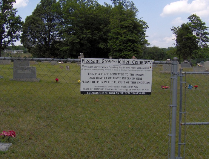
| Location | : | New Market, Jefferson County, USA |
| Coordinate | : | 36.1276016, -83.5646973 |
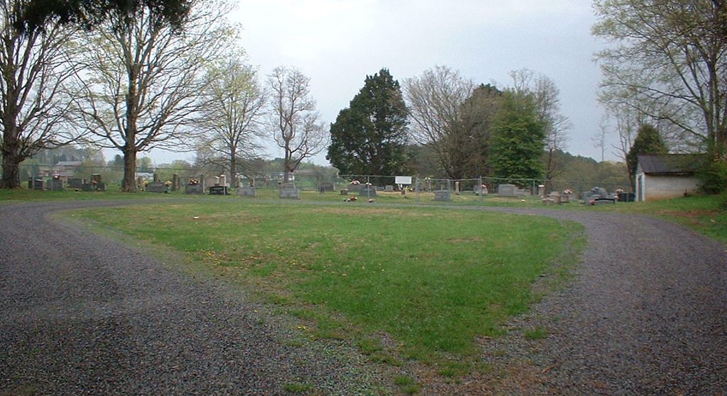
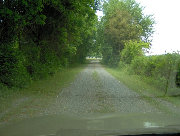
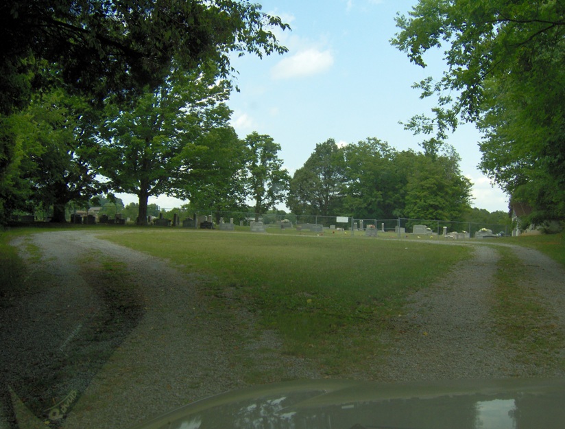
| Description | : | The cemetery is in active use and is located by taking Churchview Street north from Hwy 11E in New Market, Jefferson Co., TN. Proceed under the railroad overpass and bear to the right onto Mill Springs Road. After just more than a mile, take a left on Repass Road. Stay straight when Repass Road branches off to the right, which then becomes Pleasant View Cemetery Road. Travel about .7 mile to Pleasant Grove Cemetery Road and turn right. Cemetery is about 1/4 mile at the end of the gravel road. There are numerous graves... Read More |
frequently asked questions (FAQ):
-
Where is Pleasant Grove-Fielden Cemetery?
Pleasant Grove-Fielden Cemetery is located at New Market, Jefferson County ,Tennessee ,USA.
-
Pleasant Grove-Fielden Cemetery cemetery's updated grave count on graveviews.com?
1 memorials
-
Where are the coordinates of the Pleasant Grove-Fielden Cemetery?
Latitude: 36.1276016
Longitude: -83.5646973
Nearby Cemetories:
1. Friendship Missionary Baptist Church Cemetery
New Market, Jefferson County, USA
Coordinate: 36.1252530, -83.5564370
2. Nance's Grove Church Cemetery
New Market, Jefferson County, USA
Coordinate: 36.1225000, -83.5977800
3. Old Methodist Cemetery
New Market, Jefferson County, USA
Coordinate: 36.0958330, -83.5588890
4. Young's Memorial AME Zion Church Cemetery
New Market, Jefferson County, USA
Coordinate: 36.0957985, -83.5582962
5. Good Hope Cemetery
New Market, Jefferson County, USA
Coordinate: 36.1601830, -83.5632990
6. New Market Cemetery
New Market, Jefferson County, USA
Coordinate: 36.0966988, -83.5472031
7. Ballinger Cemetery
Jefferson County, USA
Coordinate: 36.1605988, -83.5777969
8. Lost Creek Friends Burial Ground
Jefferson County, USA
Coordinate: 36.0933300, -83.5808700
9. Friends Station Cemetery
New Market, Jefferson County, USA
Coordinate: 36.0919600, -83.5786700
10. Haworth Cemetery
Jefferson County, USA
Coordinate: 36.1567001, -83.5960999
11. Mill Springs Baptist Church Cemetery New
Jefferson City, Jefferson County, USA
Coordinate: 36.1521520, -83.5244170
12. Mill Springs Baptist Church Cemetery Old
Mill Spring, Jefferson County, USA
Coordinate: 36.1549000, -83.5241800
13. Westview Cemetery
Jefferson City, Jefferson County, USA
Coordinate: 36.1225014, -83.5044022
14. McBee Cemetery
Jefferson County, USA
Coordinate: 36.1175003, -83.6252975
15. Smith Cemetery
Jefferson County, USA
Coordinate: 36.1775017, -83.5385971
16. Indian Ridge Baptist Church Cemetery
Blaine, Grainger County, USA
Coordinate: 36.1680984, -83.6100006
17. Chesher Family Cemetery
Blaine, Grainger County, USA
Coordinate: 36.1653430, -83.6141060
18. Mossy Creek Baptist Cemetery
Jefferson City, Jefferson County, USA
Coordinate: 36.1225560, -83.4934550
19. Nance Cemetery
Jefferson County, USA
Coordinate: 36.1306000, -83.6363983
20. Gilmore Cemetery
Grainger County, USA
Coordinate: 36.1861000, -83.5547028
21. Clevenger Cemetery
Jefferson County, USA
Coordinate: 36.1739006, -83.5175018
22. McBee Cemetery
Jefferson County, USA
Coordinate: 36.0985985, -83.6335983
23. Davis Cemetery
Blaine, Grainger County, USA
Coordinate: 36.1679500, -83.6249550
24. Branner Cemetery
Jefferson City, Jefferson County, USA
Coordinate: 36.1307983, -83.4841995