
| Memorials | : | 0 |
| Location | : | Bolivar, Hardeman County, USA |
| Coordinate | : | 35.2278710, -88.9814020 |
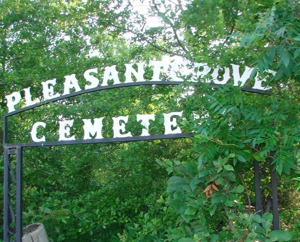
| Description | : | From the intersection of N Main St. & W Market St., in downtown Bolivar, travel southeast on S Main St/ TN-125 S for 1.5 mi.; turning southwest onto Burnett Mills Rd., going 1.1 mi.; turning west (right) into a driveway that leads about 75' to this old, poorly maintained cemetery, with a arched sign with the cemetery's name. |
frequently asked questions (FAQ):
-
Where is Pleasant Grove Methodist Church Cemetery?
Pleasant Grove Methodist Church Cemetery is located at 1075 Burnett Mills Road Bolivar, Hardeman County ,Tennessee ,USA.
-
Pleasant Grove Methodist Church Cemetery cemetery's updated grave count on graveviews.com?
0 memorials
-
Where are the coordinates of the Pleasant Grove Methodist Church Cemetery?
Latitude: 35.2278710
Longitude: -88.9814020
Nearby Cemetories:
1. Hazelgrove Cemetery
Bolivar, Hardeman County, USA
Coordinate: 35.2311000, -88.9975400
2. Patrick Cemetery
Bolivar, Hardeman County, USA
Coordinate: 35.2449260, -88.9955410
3. Bolivar Memorial Cemetery
Bolivar, Hardeman County, USA
Coordinate: 35.2495390, -88.9920520
4. Polk Cemetery
Bolivar, Hardeman County, USA
Coordinate: 35.2517140, -88.9938710
5. Bolivar Community Cemetery
Bolivar, Hardeman County, USA
Coordinate: 35.2539550, -88.9810320
6. Union Cemetery
Bolivar, Hardeman County, USA
Coordinate: 35.2540820, -88.9833530
7. Bills Family Cemetery
Bolivar, Hardeman County, USA
Coordinate: 35.2549380, -88.9819960
8. Bolivar Hospital Mass Grave
Bolivar, Hardeman County, USA
Coordinate: 35.2539620, -88.9905550
9. Spring Hill Methodist Cemetery
Bolivar, Hardeman County, USA
Coordinate: 35.2197790, -89.0135440
10. Bolivar Cemetery
Bolivar, Hardeman County, USA
Coordinate: 35.2562980, -88.9841250
11. Oak Hill Cemetery
Bolivar, Hardeman County, USA
Coordinate: 35.1906100, -88.9882700
12. Clifft Cemetery
Bolivar, Hardeman County, USA
Coordinate: 35.2241460, -89.0276950
13. Roper Cemetery
Bolivar, Hardeman County, USA
Coordinate: 35.2647750, -89.0000540
14. Nuckolls Cemetery
Bolivar, Hardeman County, USA
Coordinate: 35.2647530, -89.0009530
15. Goff Loop Road Cemetery
Bolivar, Hardeman County, USA
Coordinate: 35.1718830, -88.9828930
16. Ussery Cemetery
Bolivar, Hardeman County, USA
Coordinate: 35.2188988, -89.0539017
17. Western State Hospital Cemetery
Bolivar, Hardeman County, USA
Coordinate: 35.2776200, -89.0265000
18. God's House of Promise Cemetery
Bolivar, Hardeman County, USA
Coordinate: 35.2092810, -89.0545880
19. New Bethel Missionary Baptist Church Cemetery
Bolivar, Hardeman County, USA
Coordinate: 35.2082280, -89.0548220
20. Shandy Baptist Church Cemetery
Bolivar, Hardeman County, USA
Coordinate: 35.2921850, -88.9588950
21. Enon Church Cemetery
Bolivar, Hardeman County, USA
Coordinate: 35.1839900, -89.0457730
22. Ervin Cemetery
Bolivar, Hardeman County, USA
Coordinate: 35.2856680, -88.9312300
23. Matthews Cemetery
Bolivar, Hardeman County, USA
Coordinate: 35.2463020, -89.0666700
24. Walnut Grove Baptist Cemetery
Bolivar, Hardeman County, USA
Coordinate: 35.2443940, -88.8912790