
| Memorials | : | 103 |
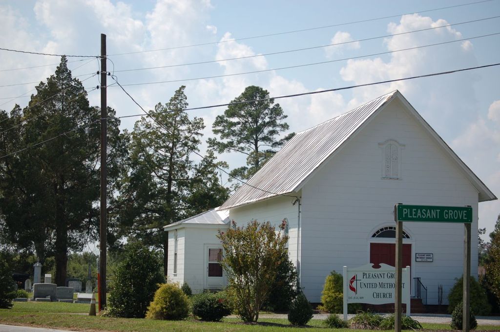
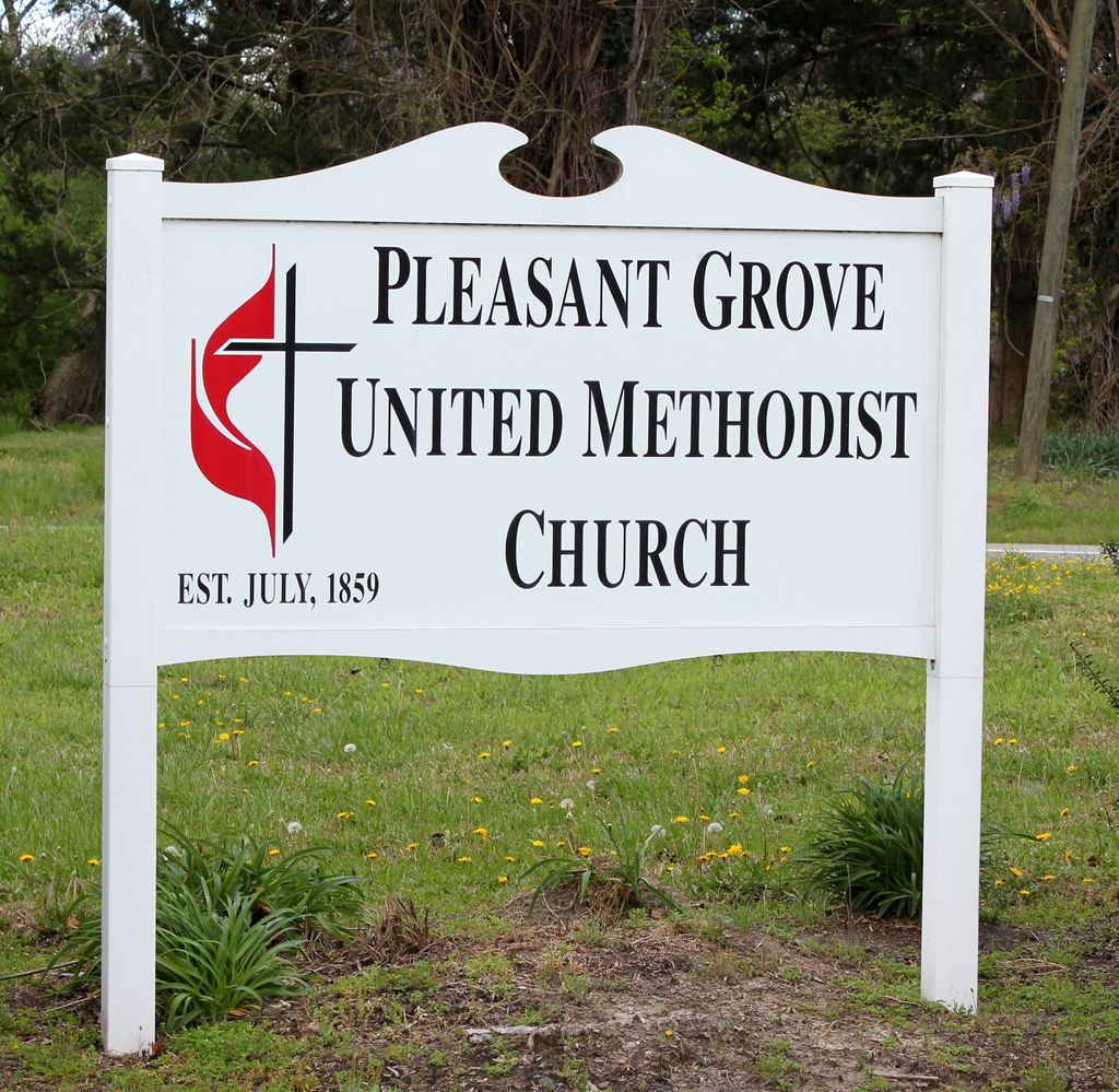
| Location | : | Pleasant Grove, Washington County, USA |
| Coordinate | : | 35.9247900, -76.5913960 |
frequently asked questions (FAQ):
-
Where is Pleasant Grove United Medthodist Church?
Pleasant Grove United Medthodist Church is located at Pleasant Grove, Washington County ,North Carolina ,USA.
-
Pleasant Grove United Medthodist Church cemetery's updated grave count on graveviews.com?
103 memorials
-
Where are the coordinates of the Pleasant Grove United Medthodist Church?
Latitude: 35.9247900
Longitude: -76.5913960
Nearby Cemetories:
1. Norman Cemetery
Roper, Washington County, USA
Coordinate: 35.9214880, -76.5940950
2. Marriner-Alexander Family Cemetery
Washington County, USA
Coordinate: 35.9260450, -76.5865220
3. Uriah Swanner Cemetery
Roper, Washington County, USA
Coordinate: 35.9301100, -76.5849500
4. Bethel Church Cemetery
Roper, Washington County, USA
Coordinate: 35.9193470, -76.5991180
5. New Bethel Church Of Christ Cemetery
Roper, Washington County, USA
Coordinate: 35.9162530, -76.5978730
6. Webb-Downing-Chesson Cemetery
Plymouth, Washington County, USA
Coordinate: 35.9177770, -76.6007480
7. Chesson Memorial Cemetery
Mackeys, Washington County, USA
Coordinate: 35.9173400, -76.6016250
8. William Mackey Chesson Cemetery
Roper, Washington County, USA
Coordinate: 35.9395315, -76.5819778
9. Davenport Family Cemetery
Mackeys, Washington County, USA
Coordinate: 35.9305950, -76.6118950
10. Franklin Spruill Cemetery
Mackeys, Washington County, USA
Coordinate: 35.9341100, -76.6109900
11. Charles B Craddock Cemetery
Roper, Washington County, USA
Coordinate: 35.8988710, -76.5862420
12. Alfred Blount Cemetery
Roper, Washington County, USA
Coordinate: 35.8989020, -76.6095290
13. Fountain of Life Baptist Church Cemetery
Roper, Washington County, USA
Coordinate: 35.9190210, -76.6291450
14. Craft Family Cemetery
Roper, Washington County, USA
Coordinate: 35.9049050, -76.6230320
15. Gisbourne Jeremiah Cherry Cemetery
Skinnersville, Washington County, USA
Coordinate: 35.9383070, -76.5496810
16. Wilkins Cemetery
Roper, Washington County, USA
Coordinate: 35.8885900, -76.5967490
17. William G. Collins Cemetery
Roper, Washington County, USA
Coordinate: 35.8887210, -76.5987990
18. Rowson Family Cemetery
Roper, Washington County, USA
Coordinate: 35.8880050, -76.5884690
19. Foley Cemetery
Skinnersville, Washington County, USA
Coordinate: 35.9327420, -76.5466830
20. Saint Luke Cemetery
Roper, Washington County, USA
Coordinate: 35.8967018, -76.6271973
21. Henry Joseph Williams Cemetery
Roper, Washington County, USA
Coordinate: 35.8866340, -76.6077090
22. Joshua Phelps Cemetery
Roper, Washington County, USA
Coordinate: 35.9179610, -76.5415410
23. Hollyneck Church Cemetery
Plymouth, Washington County, USA
Coordinate: 35.9221810, -76.5400860
24. Vance Benjamin Respass Cemetery
Skinnersville Township, Washington County, USA
Coordinate: 35.9228980, -76.5398230