
| Memorials | : | 0 |
| Location | : | Bessemer, Jefferson County, USA |
| Coordinate | : | 33.5261650, -87.1946560 |
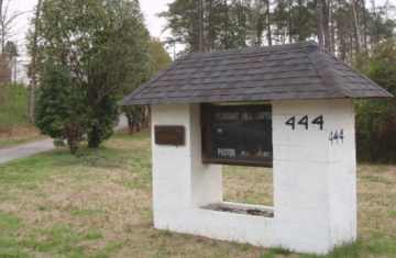
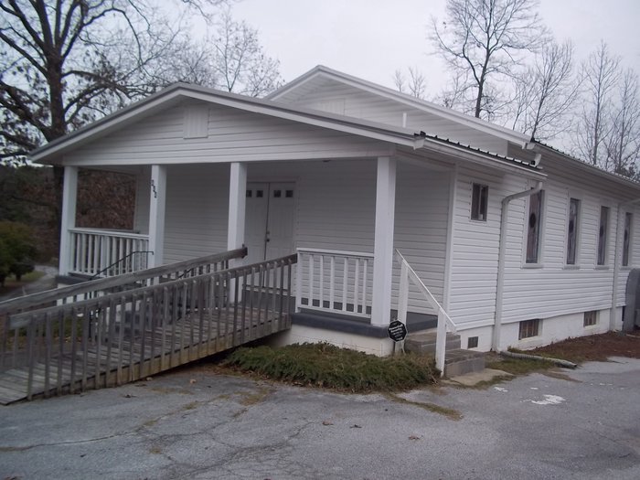
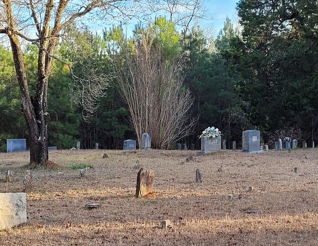
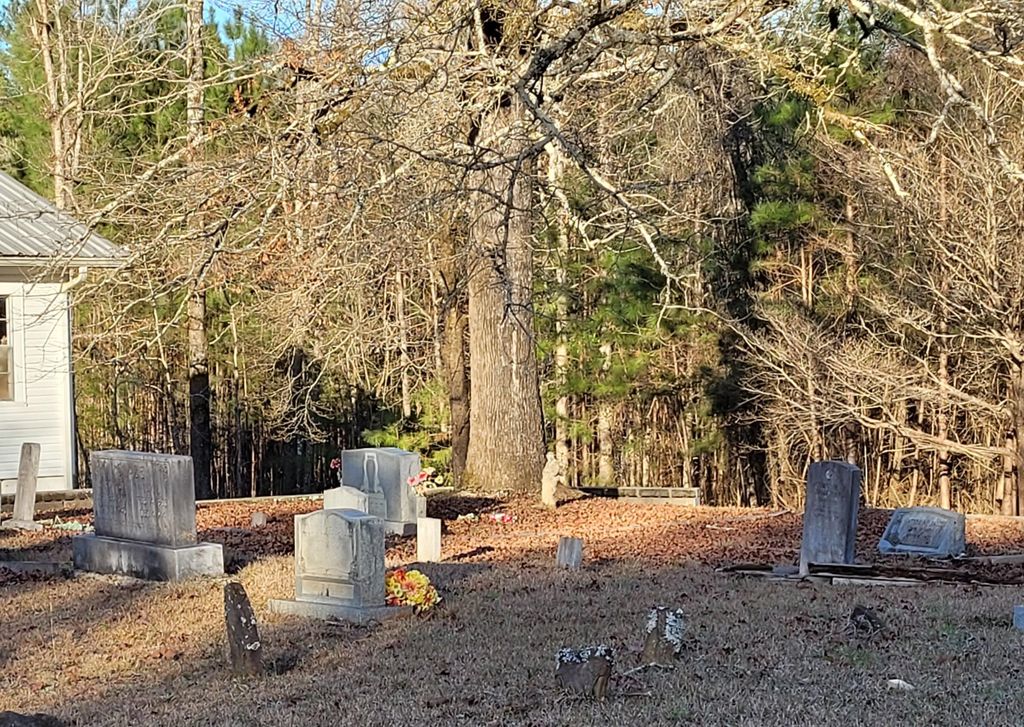
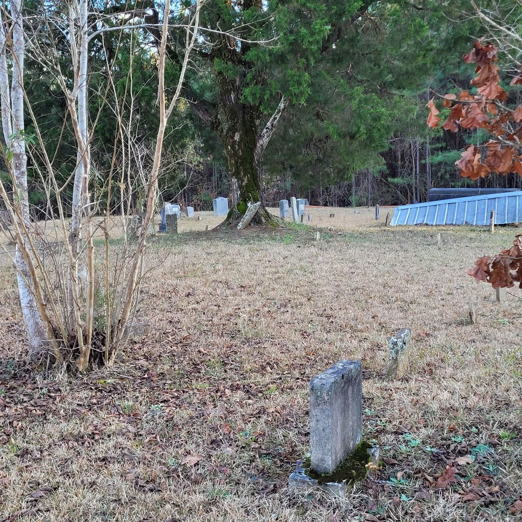
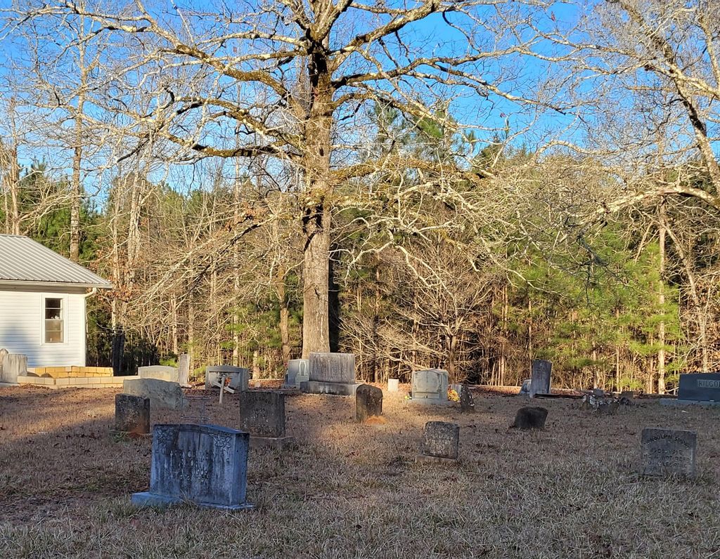
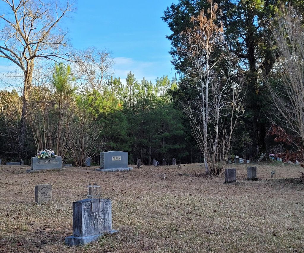
| Description | : | a.k.a. Taylors Ferry Cemetery and Short Town Baptist Church Cemetery Location: Township 17 South Range 6 West Section 32 Northwest of Toadvine. Church address: Shortown Branch Road, Bessemer, AL 35023 Directions: Go approximately 2 miles west of the intersection of Toadvine Road and Taylors Ferry Road on Taylors Ferry Road and turn left onto Belchers Ferry Road and go 2/10 of a mile. Turn left onto Shortown Branch Road and go 7/10 of a mile. Turn left onto the church road. Church and cemetery are at the end of the 1/10 of a mile road. |
frequently asked questions (FAQ):
-
Where is Pleasant Hill Baptist Church Cemetery?
Pleasant Hill Baptist Church Cemetery is located at Bessemer, Jefferson County ,Alabama ,USA.
-
Pleasant Hill Baptist Church Cemetery cemetery's updated grave count on graveviews.com?
0 memorials
-
Where are the coordinates of the Pleasant Hill Baptist Church Cemetery?
Latitude: 33.5261650
Longitude: -87.1946560
Nearby Cemetories:
1. Dug Hill Cemetery
Oak Grove, Jefferson County, USA
Coordinate: 33.5219002, -87.1699982
2. Richardson Cemetery
Tutwiler, Walker County, USA
Coordinate: 33.5414320, -87.2228620
3. Big Creek Baptist Church Cemetery
Oak Grove, Jefferson County, USA
Coordinate: 33.4936840, -87.2159350
4. Vines Cemetery
Alliance, Jefferson County, USA
Coordinate: 33.5352880, -87.1464100
5. Smithville Baptist Church Cemetery
Bessemer, Jefferson County, USA
Coordinate: 33.4993180, -87.1556320
6. Heard Shoals Cemetery
Tutwiler, Walker County, USA
Coordinate: 33.5356653, -87.2480550
7. Snow-Thompson Cemetery
Gorgas, Walker County, USA
Coordinate: 33.5724950, -87.2183230
8. Liberty Cemetery
Alliance, Jefferson County, USA
Coordinate: 33.5423000, -87.1164400
9. Oak Grove First Baptist Cemetery
Oak Grove, Jefferson County, USA
Coordinate: 33.4565010, -87.1533966
10. Rock Creek Baptist Church Cemetery
Alliance, Jefferson County, USA
Coordinate: 33.4827538, -87.1153183
11. Brake Cemetery
Pumpkin Center, Walker County, USA
Coordinate: 33.6154670, -87.1830830
12. Atwood Cemetery
Jefferson County, USA
Coordinate: 33.5847015, -87.1102982
13. Oak Grove Missionary Baptist Church Cemetery
Oak Grove, Jefferson County, USA
Coordinate: 33.4501991, -87.1268005
14. Shoals Creek Cemetery
Mud Creek, Jefferson County, USA
Coordinate: 33.4398220, -87.2434670
15. Cedar Creek Church of Christ Cemetery
Tutwiler, Walker County, USA
Coordinate: 33.5939990, -87.2791670
16. Parsons Cemetery
Bessemer, Jefferson County, USA
Coordinate: 33.4456590, -87.1275260
17. Rock Creek Church of God Cemetery
Hueytown, Jefferson County, USA
Coordinate: 33.4794998, -87.0839005
18. Gwin Cemetery
Adger, Jefferson County, USA
Coordinate: 33.4301880, -87.2447710
19. Praco Cemetery
Birmingham, Jefferson County, USA
Coordinate: 33.6130110, -87.1211640
20. High Hill Church Cemetery
Littletons, Walker County, USA
Coordinate: 33.6191580, -87.2604320
21. Waiting Place Cemetery
Pumpkin Center, Walker County, USA
Coordinate: 33.6331570, -87.1765400
22. Miller Cemetery
Littletons, Walker County, USA
Coordinate: 33.6161003, -87.2694016
23. Busby Cemetery
Littletons, Walker County, USA
Coordinate: 33.6286011, -87.2497025
24. Humphries Cemetery
Hueytown, Jefferson County, USA
Coordinate: 33.4542430, -87.3013540