
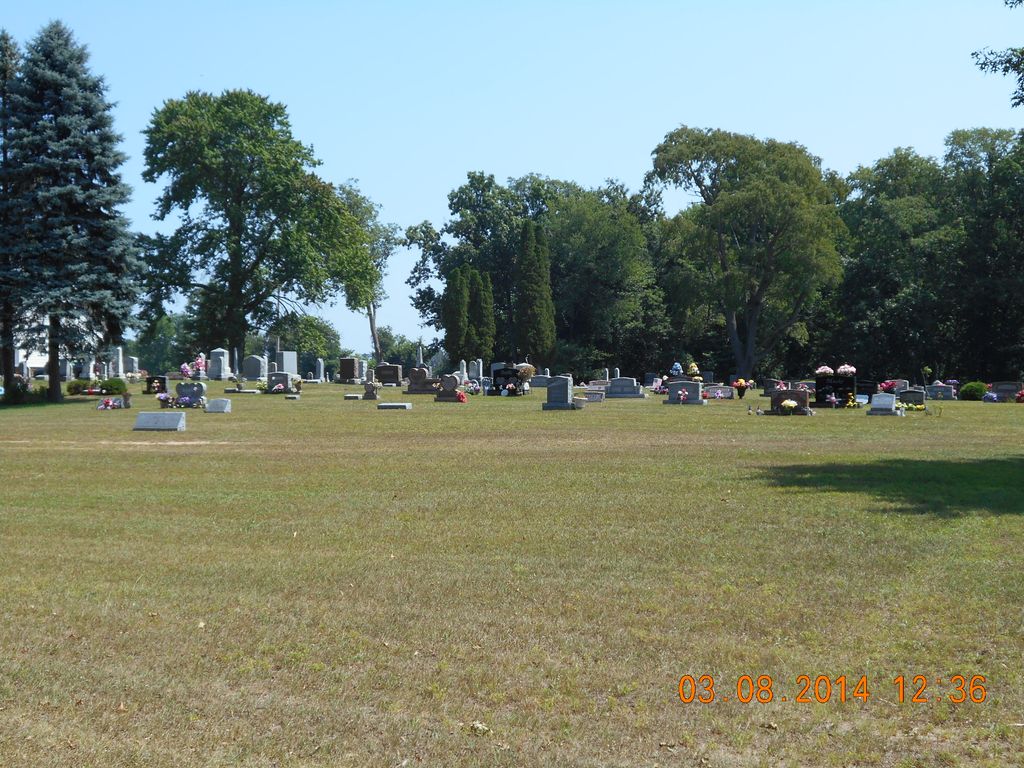
| Memorials | : | 49 |
| Location | : | Noble Township, Branch County, USA |
| Coordinate | : | 41.7961110, -85.2111110 |
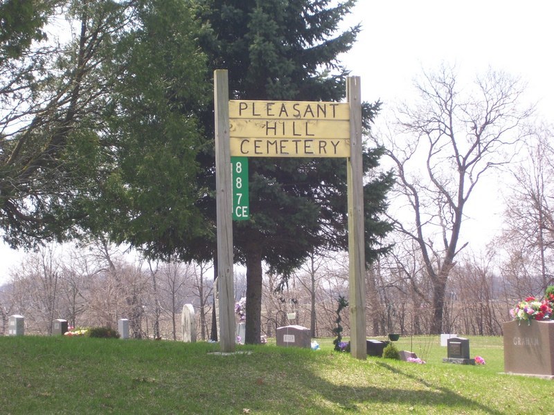
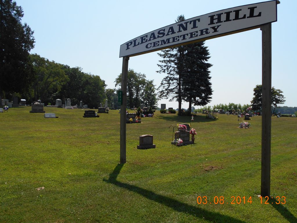
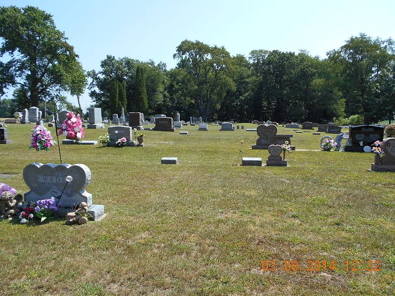
| Description | : | The cemetery is located in Noble Township on the south side of Pleasant Hill Road about 0.1 miles east of its intersection with Bawden Road. The U.S. Geological Survey (USGS) Geographic Names Information System (GNIS) feature ID for the cemetery is 2435447 (Pleasant Hill Cemetery). |
frequently asked questions (FAQ):
-
Where is Pleasant Hill Cemetery?
Pleasant Hill Cemetery is located at 887 Pleasant Hill Road Noble Township, Branch County ,Michigan , 49028USA.
-
Pleasant Hill Cemetery cemetery's updated grave count on graveviews.com?
34 memorials
-
Where are the coordinates of the Pleasant Hill Cemetery?
Latitude: 41.7961110
Longitude: -85.2111110
Nearby Cemetories:
1. Curtis Cemetery
Bronson, Branch County, USA
Coordinate: 41.8039017, -85.1956024
2. Dutch Settlement Cemetery
Bronson, Branch County, USA
Coordinate: 41.8106003, -85.2632980
3. North Gilead Cemetery
Gilead Township, Branch County, USA
Coordinate: 41.8039017, -85.1557999
4. South Gilead Cemetery
Bronson, Branch County, USA
Coordinate: 41.7733330, -85.1566670
5. Trayer Cemetery
Bronson, Branch County, USA
Coordinate: 41.7705550, -85.2677770
6. Saint Marys Cemetery
Bronson, Branch County, USA
Coordinate: 41.8582993, -85.1939011
7. Adams Cemetery
Bronson, Branch County, USA
Coordinate: 41.8405991, -85.2767029
8. Mill Grove Cemetery
Orland, Steuben County, USA
Coordinate: 41.7327995, -85.1718979
9. Greenlawn Cemetery
Orland, Steuben County, USA
Coordinate: 41.7338982, -85.1594009
10. Bronson Cemetery
Bronson, Branch County, USA
Coordinate: 41.8699340, -85.1858320
11. Fillmore Family Cemetery
Greenfield Mills, LaGrange County, USA
Coordinate: 41.7219260, -85.2347090
12. Carleton Cemetery
Orland, Steuben County, USA
Coordinate: 41.7369890, -85.1403120
13. Snow Prairie Cemetery
Bethel, Branch County, USA
Coordinate: 41.8699989, -85.1408005
14. Freedom Cemetery
Fawn River, St. Joseph County, USA
Coordinate: 41.8064003, -85.3371964
15. Eroh Cemetery
Fawn River Township, St. Joseph County, USA
Coordinate: 41.8081017, -85.3375015
16. East Gilead Cemetery
East Gilead, Branch County, USA
Coordinate: 41.7858330, -85.0825000
17. Eagle Cemetery
LaGrange County, USA
Coordinate: 41.7313200, -85.3162200
18. Bartholomew Cemetery
Fawn River Township, St. Joseph County, USA
Coordinate: 41.8059600, -85.3476300
19. Fawn River Township Cemetery
Fawn River, St. Joseph County, USA
Coordinate: 41.7819440, -85.3475040
20. Burr Oak Township Cemetery
Burr Oak, St. Joseph County, USA
Coordinate: 41.8472214, -85.3319473
21. United Methodist Church Cemetery
Howe, LaGrange County, USA
Coordinate: 41.7509918, -85.3379364
22. Brighton Chapel Cemetery
Brighton, LaGrange County, USA
Coordinate: 41.7163887, -85.3113785
23. Jackson Prairie Cemetery
Orland, Steuben County, USA
Coordinate: 41.6864014, -85.1710968
24. English Prairie Cemetery
Brighton, LaGrange County, USA
Coordinate: 41.7055855, -85.3071518