
| Memorials | : | 2 |
| Location | : | Springfield Township, Richland County, USA |
| Coordinate | : | 40.7408900, -82.6462900 |
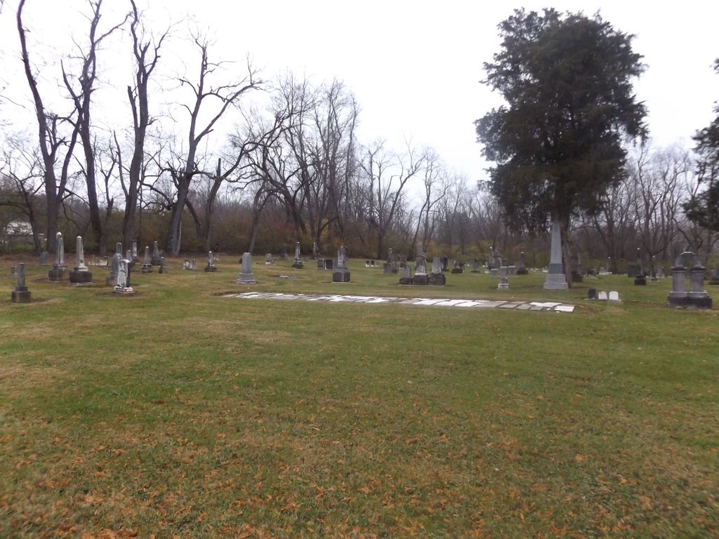
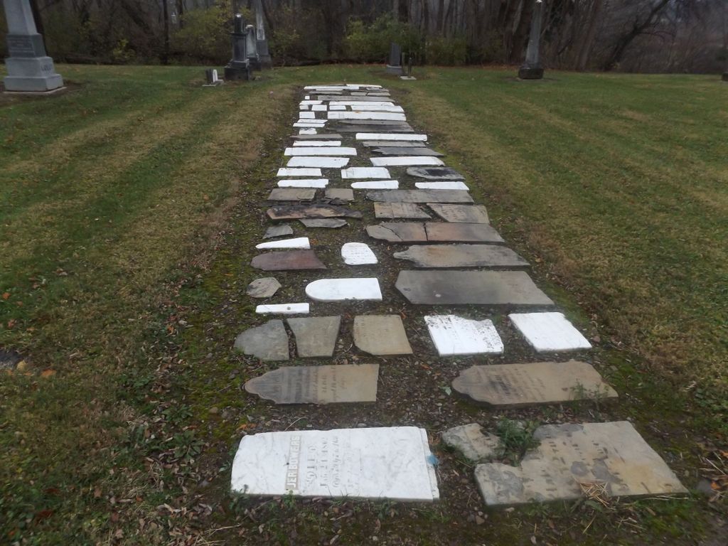
| Description | : | The cemetery is located on the east side of Rudy Road (Township Road 156) about 300 feet north of its intersection with Millsboro West Road (County Road 48). The cemetery is located in Springfield Township, Richland County, Ohio, and is # 10288 (Pleasant Hill Cemetery) in “Ohio Cemeteries 1803-2003”, compiled by the Ohio Genealogical Society. The U.S. Geological Survey (USGS) Geographic Names Information System (GNIS) feature ID for the cemetery is 1955078 (Pleasant Hill Cemetery). |
frequently asked questions (FAQ):
-
Where is Pleasant Hill Cemetery?
Pleasant Hill Cemetery is located at Rudy Road (Township Road 156) Springfield Township, Richland County ,Ohio , 44903USA.
-
Pleasant Hill Cemetery cemetery's updated grave count on graveviews.com?
2 memorials
-
Where are the coordinates of the Pleasant Hill Cemetery?
Latitude: 40.7408900
Longitude: -82.6462900


Nearby Cemetories:
1. Webster Cemetery
Mansfield, Richland County, USA
Coordinate: 40.7400600, -82.6371200
2. Millsboro-Nave Cemetery
Springfield Township, Richland County, USA
Coordinate: 40.7476997, -82.6365967
3. Ontario Cemetery
Ontario, Richland County, USA
Coordinate: 40.7603127, -82.6404524
4. B'nai Jacob Cemetery
Ontario, Richland County, USA
Coordinate: 40.7606660, -82.6395680
5. New Castle Cemetery
Ontario, Richland County, USA
Coordinate: 40.7600250, -82.6360510
6. Angel Refuge Pet Cemetery
Mansfield, Richland County, USA
Coordinate: 40.7598750, -82.6134520
7. Red Squirrel Cemetery
Sandusky Township, Richland County, USA
Coordinate: 40.7319860, -82.6891760
8. Mansfield Memorial Park
Ontario, Richland County, USA
Coordinate: 40.7574997, -82.6053009
9. Bitner Cemetery
Mansfield, Richland County, USA
Coordinate: 40.7367300, -82.6926810
10. Riblet Cemetery
Springfield Township, Richland County, USA
Coordinate: 40.7612530, -82.6883880
11. Fairview Day Cemetery
Troy Township, Richland County, USA
Coordinate: 40.7125015, -82.6089020
12. Troy Cemetery
Lexington, Richland County, USA
Coordinate: 40.6946983, -82.6102982
13. Marlow Cemetery
Mansfield, Richland County, USA
Coordinate: 40.7470200, -82.5719250
14. Blooming Grove Cemetery
Morrow County, USA
Coordinate: 40.7108911, -82.7176773
15. Barr Cemetery
Mansfield, Richland County, USA
Coordinate: 40.7736220, -82.5742470
16. Ross Cemetery
Morrow County, USA
Coordinate: 40.6810989, -82.6817017
17. Line Cemetery
Galion, Crawford County, USA
Coordinate: 40.7477120, -82.7357200
18. Greenlawn Cemetery
East Crestline, Richland County, USA
Coordinate: 40.7850571, -82.7226782
19. Saint Joseph Cemetery
Sandusky Township, Richland County, USA
Coordinate: 40.7871600, -82.7215628
20. Lexington Cemetery
Lexington, Richland County, USA
Coordinate: 40.6806100, -82.5785000
21. Valley Estates Gardens
Mansfield, Richland County, USA
Coordinate: 40.6977780, -82.5581940
22. Spring Mill Cemetery
Mansfield, Richland County, USA
Coordinate: 40.8052060, -82.5836890
23. First Congregational Church Columbarium
Mansfield, Richland County, USA
Coordinate: 40.7477740, -82.5394620
24. Haldeman Cemetery
Morrow County, USA
Coordinate: 40.6591988, -82.6667023