
| Memorials | : | 1 |
| Location | : | Ontario, Richland County, USA |
| Coordinate | : | 40.7606660, -82.6395680 |
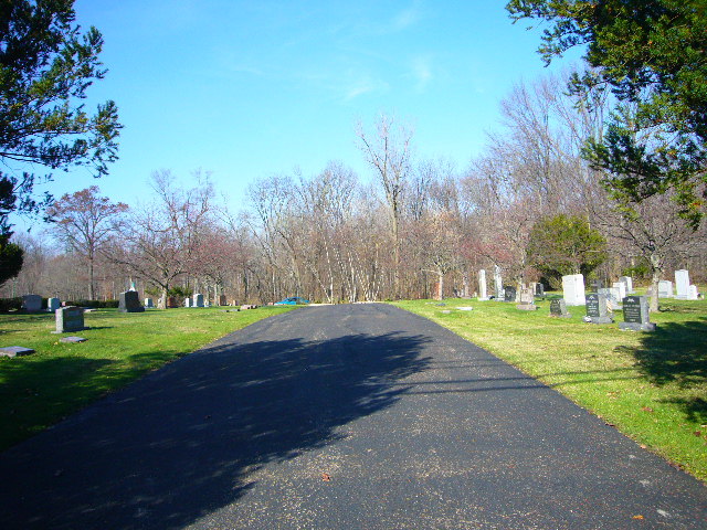
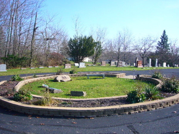
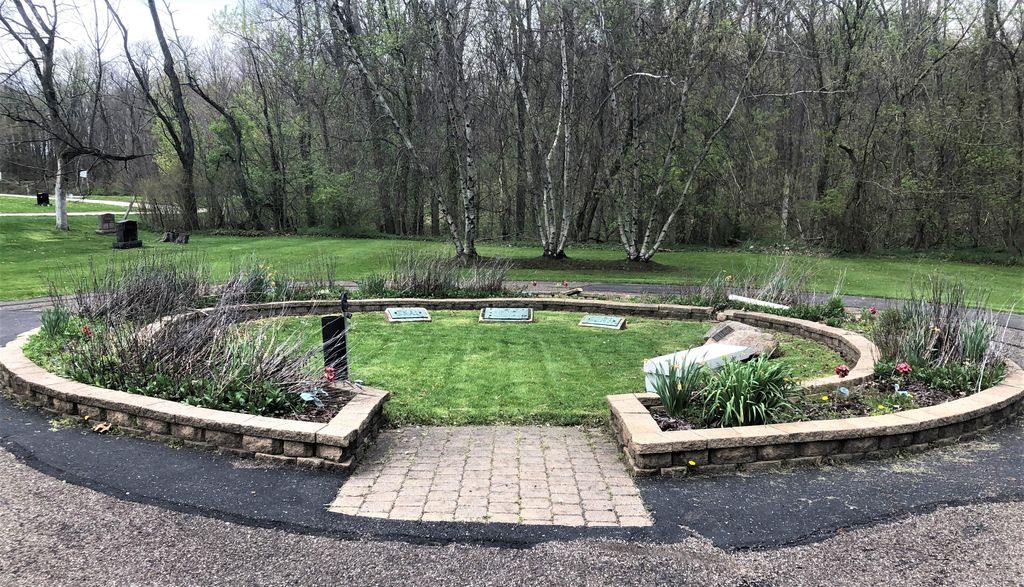
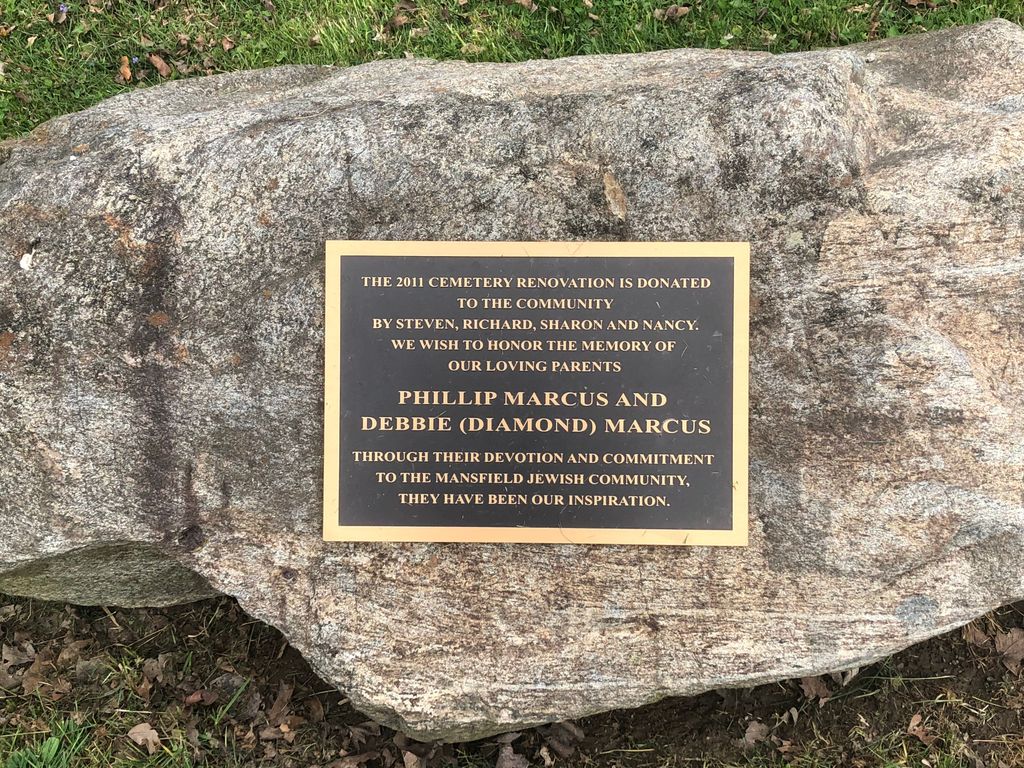
| Description | : | The cemetery is located on the north side of Park Avenue West (Ohio State Route 309) adjacent to and east of the Ontario Community Cemetery and about 1450 feet east of its intersection with Shelby-Ontario Road (County Road 144). The cemetery is located in the city of Ontario, Springfield Township, Richland County, Ohio, and is # 10279 (B’Nai-B’rith Cemetery) in “Ohio Cemeteries 1803-2003”, compiled by the Ohio Genealogical Society. |
frequently asked questions (FAQ):
-
Where is B'nai Jacob Cemetery?
B'nai Jacob Cemetery is located at Park Avenue West (Ohio State Route 309) Ontario, Richland County ,Ohio , 44906USA.
-
B'nai Jacob Cemetery cemetery's updated grave count on graveviews.com?
1 memorials
-
Where are the coordinates of the B'nai Jacob Cemetery?
Latitude: 40.7606660
Longitude: -82.6395680
Nearby Cemetories:
1. Ontario Cemetery
Ontario, Richland County, USA
Coordinate: 40.7603127, -82.6404524
2. New Castle Cemetery
Ontario, Richland County, USA
Coordinate: 40.7600250, -82.6360510
3. Millsboro-Nave Cemetery
Springfield Township, Richland County, USA
Coordinate: 40.7476997, -82.6365967
4. Angel Refuge Pet Cemetery
Mansfield, Richland County, USA
Coordinate: 40.7598750, -82.6134520
5. Pleasant Hill Cemetery
Springfield Township, Richland County, USA
Coordinate: 40.7408900, -82.6462900
6. Webster Cemetery
Mansfield, Richland County, USA
Coordinate: 40.7400600, -82.6371200
7. Mansfield Memorial Park
Ontario, Richland County, USA
Coordinate: 40.7574997, -82.6053009
8. Riblet Cemetery
Springfield Township, Richland County, USA
Coordinate: 40.7612530, -82.6883880
9. Bitner Cemetery
Mansfield, Richland County, USA
Coordinate: 40.7367300, -82.6926810
10. Red Squirrel Cemetery
Sandusky Township, Richland County, USA
Coordinate: 40.7319860, -82.6891760
11. Barr Cemetery
Mansfield, Richland County, USA
Coordinate: 40.7736220, -82.5742470
12. Marlow Cemetery
Mansfield, Richland County, USA
Coordinate: 40.7470200, -82.5719250
13. Fairview Day Cemetery
Troy Township, Richland County, USA
Coordinate: 40.7125015, -82.6089020
14. Spring Mill Cemetery
Mansfield, Richland County, USA
Coordinate: 40.8052060, -82.5836890
15. Greenlawn Cemetery
East Crestline, Richland County, USA
Coordinate: 40.7850571, -82.7226782
16. Saint Joseph Cemetery
Sandusky Township, Richland County, USA
Coordinate: 40.7871600, -82.7215628
17. Troy Cemetery
Lexington, Richland County, USA
Coordinate: 40.6946983, -82.6102982
18. Line Cemetery
Galion, Crawford County, USA
Coordinate: 40.7477120, -82.7357200
19. First Congregational Church Columbarium
Mansfield, Richland County, USA
Coordinate: 40.7477740, -82.5394620
20. Missionaries of the Sacred Heart Cemetery
Shelby, Richland County, USA
Coordinate: 40.8328200, -82.6033870
21. Blooming Grove Cemetery
Morrow County, USA
Coordinate: 40.7108911, -82.7176773
22. German Reform Cemetery
Shelby, Richland County, USA
Coordinate: 40.8349180, -82.6774410
23. Ross Cemetery
Morrow County, USA
Coordinate: 40.6810989, -82.6817017
24. Mount Bethel Cemetery
Jackson Township, Richland County, USA
Coordinate: 40.8427811, -82.6058273