
| Memorials | : | 5 |
| Location | : | Pleasant Ridge, Union County, USA |
| Coordinate | : | 34.5681000, -88.8380966 |
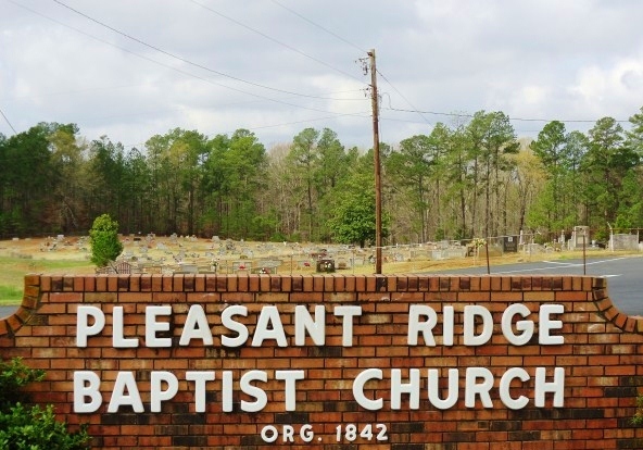
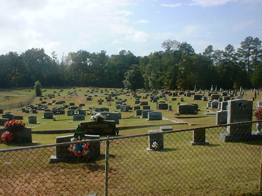
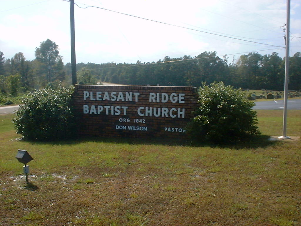
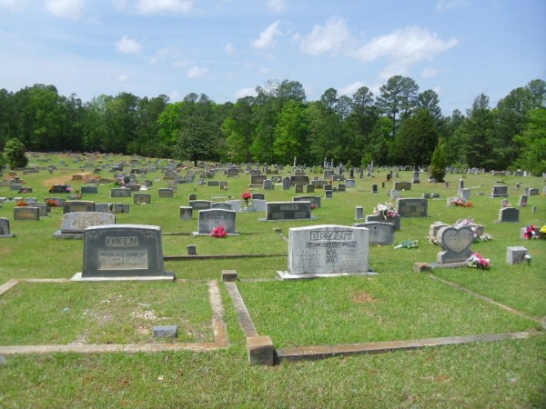
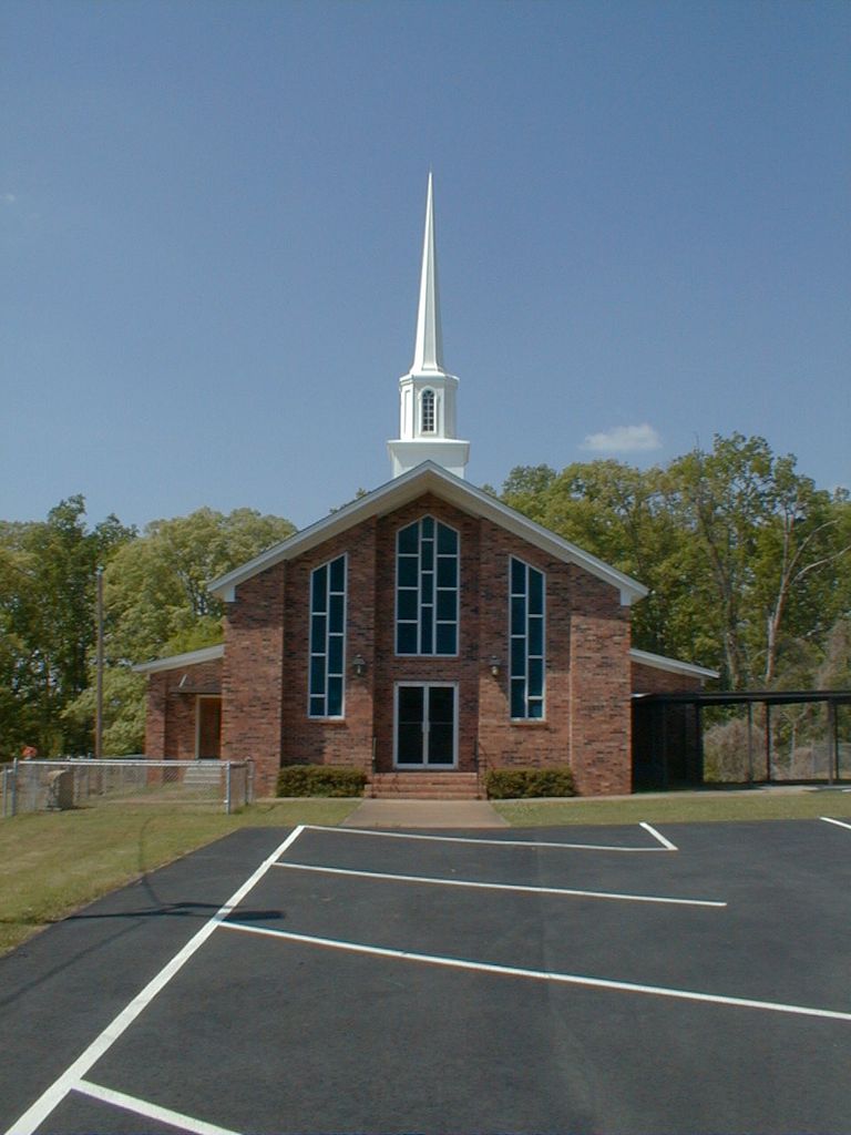
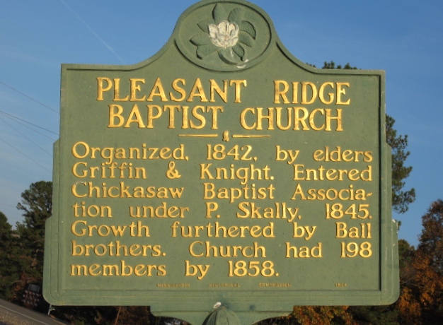
| Description | : | Directions from the intersection of Highway 15 North and 30 East in New Albany, (county seat of Union County, MS) go east 12.7 miles. The cemetery is on the left adjacent to the Pleasant Ridge Baptist Church. Directions from City Avenue in Ripley, go 1.2 miles on highway 4 to highway 370. Turn south on highway 370 and go 14.4 miles to the intersection of highway 370 and highway 30. The church and cemetery are on the right at the intersection. The first and oldest grave in this cemetery is that of David E. Gambrell (1820-1842) There were numerous tombstones... Read More |
frequently asked questions (FAQ):
-
Where is Pleasant Ridge Baptist Church Cemetery?
Pleasant Ridge Baptist Church Cemetery is located at Pleasant Ridge, Union County ,Mississippi ,USA.
-
Pleasant Ridge Baptist Church Cemetery cemetery's updated grave count on graveviews.com?
5 memorials
-
Where are the coordinates of the Pleasant Ridge Baptist Church Cemetery?
Latitude: 34.5681000
Longitude: -88.8380966
Nearby Cemetories:
1. Stubbs Cemetery
Dumas, Tippah County, USA
Coordinate: 34.5969009, -88.8317032
2. Bartlett Cemetery
Union County, USA
Coordinate: 34.5928001, -88.8075027
3. Mount Olivet Cemetery
Keownville, Union County, USA
Coordinate: 34.5616989, -88.8858032
4. Mount Zion Cemetery
Union County, USA
Coordinate: 34.5816994, -88.7906036
5. Pickens Cemetery
Dumas, Tippah County, USA
Coordinate: 34.6025009, -88.8728027
6. Keownville Cemetery
Keownville, Union County, USA
Coordinate: 34.5458250, -88.9045920
7. Hall Cemetery
Union County, USA
Coordinate: 34.5908012, -88.9064026
8. Dumas Cemetery
Dumas, Tippah County, USA
Coordinate: 34.6293983, -88.8424988
9. Williams Family Cemetery
Alpine, Union County, USA
Coordinate: 34.5156400, -88.7979600
10. Zion Hill Cemetery Old
Alpine, Union County, USA
Coordinate: 34.5022011, -88.8249969
11. Zion Hill Cemetery New
Alpine, Union County, USA
Coordinate: 34.4997310, -88.8240020
12. Roach Cemetery
Union County, USA
Coordinate: 34.5332985, -88.9131012
13. Floyd Family Cemetery
Jericho, Union County, USA
Coordinate: 34.5359100, -88.7611700
14. Jamison Grove Cemetery
Union County, USA
Coordinate: 34.5760030, -88.9239620
15. Thompson Cemetery
Alpine, Union County, USA
Coordinate: 34.4981310, -88.8086270
16. Oak View Baptist Church Cemetery
Parks, Union County, USA
Coordinate: 34.5087980, -88.8926390
17. Roberts Cemetery
Clarysville, Tippah County, USA
Coordinate: 34.6300600, -88.8935000
18. Damascus Cemetery
Alpine, Union County, USA
Coordinate: 34.4958000, -88.7958000
19. McCord Cemetery
Dumas, Tippah County, USA
Coordinate: 34.6453705, -88.8654480
20. Dry Creek Baptist Church Cemetery
Tippah County, USA
Coordinate: 34.6095009, -88.7520905
21. Pine Grove Cemetery
Pine Grove, Tippah County, USA
Coordinate: 34.6474991, -88.8097000
22. White House Ridge Confederate Graves
Jericho, Union County, USA
Coordinate: 34.5281350, -88.7489860
23. Old Hardin Cemetery
Ripley, Tippah County, USA
Coordinate: 34.6327705, -88.9063721
24. Lebanon Cemetery
Geeville, Prentiss County, USA
Coordinate: 34.5602989, -88.7311020