
| Memorials | : | 1 |
| Location | : | Alpine, Union County, USA |
| Coordinate | : | 34.5022011, -88.8249969 |
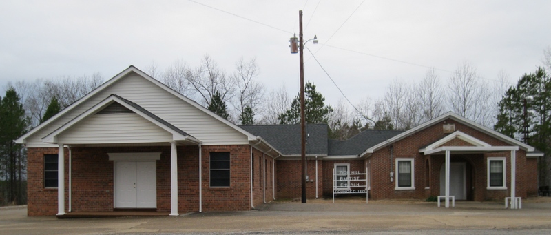
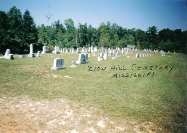
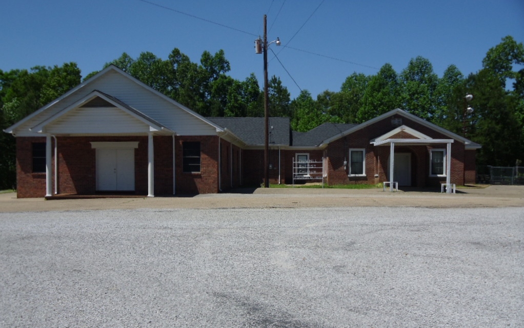
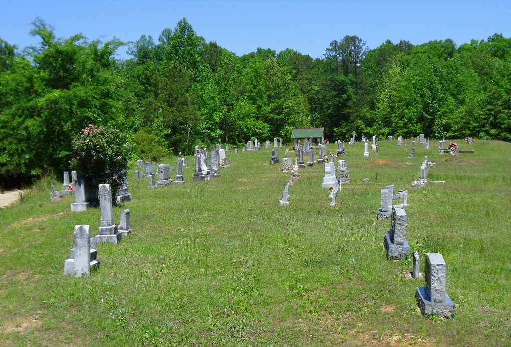
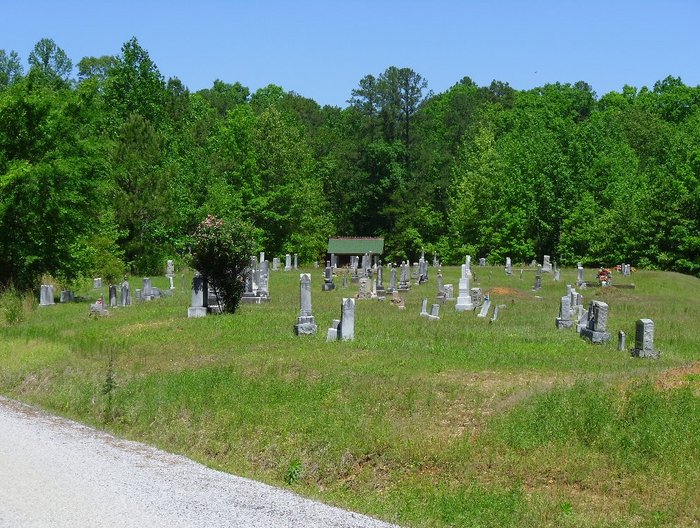
| Description | : | Old Zion Hill Cemetery is north of the Church on the East side of County Road 183. The New Zion Hill Cemetery is across the road from the Church on the southeast corner at the intersection of County Road 183 and 184. ***************************** Here is a link to the New Zion Hill Cemetery. ***************************** This cemetery was started in July, 1881. The first grave was the Infant Son of S. M. (Mac) and M. P. (Mollie) Roberts. (See memorial # 67207494) Transcription survey complete as of 1-7-2012 |
frequently asked questions (FAQ):
-
Where is Zion Hill Cemetery Old?
Zion Hill Cemetery Old is located at CR 183 Alpine, Union County ,Mississippi ,USA.
-
Zion Hill Cemetery Old cemetery's updated grave count on graveviews.com?
1 memorials
-
Where are the coordinates of the Zion Hill Cemetery Old?
Latitude: 34.5022011
Longitude: -88.8249969
Nearby Cemetories:
1. Zion Hill Cemetery New
Alpine, Union County, USA
Coordinate: 34.4997310, -88.8240020
2. Thompson Cemetery
Alpine, Union County, USA
Coordinate: 34.4981310, -88.8086270
3. Damascus Cemetery
Alpine, Union County, USA
Coordinate: 34.4958000, -88.7958000
4. Williams Family Cemetery
Alpine, Union County, USA
Coordinate: 34.5156400, -88.7979600
5. New Hope Cemetery
Union County, USA
Coordinate: 34.4730988, -88.8238983
6. Camp Creek African American Cemetery
Lee County, USA
Coordinate: 34.4805984, -88.7711029
7. Ellistown Cemetery
Ellistown, Union County, USA
Coordinate: 34.4505997, -88.8414001
8. Oak View Baptist Church Cemetery
Parks, Union County, USA
Coordinate: 34.5087980, -88.8926390
9. Camp Creek Cemetery
Corrona, Lee County, USA
Coordinate: 34.4663720, -88.7720420
10. Jericho Cemetery
Jericho, Union County, USA
Coordinate: 34.5102610, -88.7552300
11. Floyd Family Cemetery
Jericho, Union County, USA
Coordinate: 34.5359100, -88.7611700
12. Bell Cemetery
Center, Union County, USA
Coordinate: 34.4832993, -88.8993988
13. Pleasant Ridge Baptist Church Cemetery
Pleasant Ridge, Union County, USA
Coordinate: 34.5681000, -88.8380966
14. White House Ridge Confederate Graves
Jericho, Union County, USA
Coordinate: 34.5281350, -88.7489860
15. Baker Family Cemetery
Union County, USA
Coordinate: 34.4958000, -88.9092026
16. Mount Olivet Cemetery
Keownville, Union County, USA
Coordinate: 34.5616989, -88.8858032
17. Keownville Cemetery
Keownville, Union County, USA
Coordinate: 34.5458250, -88.9045920
18. Dunlap Cemetery
Mound City, Union County, USA
Coordinate: 34.4446983, -88.8902969
19. Roach Cemetery
Union County, USA
Coordinate: 34.5332985, -88.9131012
20. Gentry Cemetery
Jug Fork, Union County, USA
Coordinate: 34.4260320, -88.7991590
21. Stone Cemetery
Union County, USA
Coordinate: 34.4636002, -88.9088974
22. Old Bethany Cemetery
Baldwyn, Lee County, USA
Coordinate: 34.5069000, -88.7283000
23. Old Pleasant Valley Cemetery
Blair, Lee County, USA
Coordinate: 34.4519005, -88.7497025
24. Bethany Cemetery
Baldwyn, Lee County, USA
Coordinate: 34.5050011, -88.7281036