
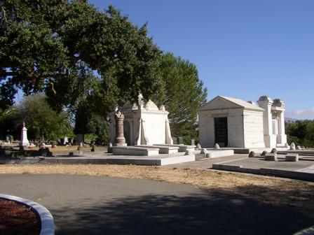
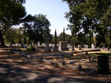
| Memorials | : | 571 |
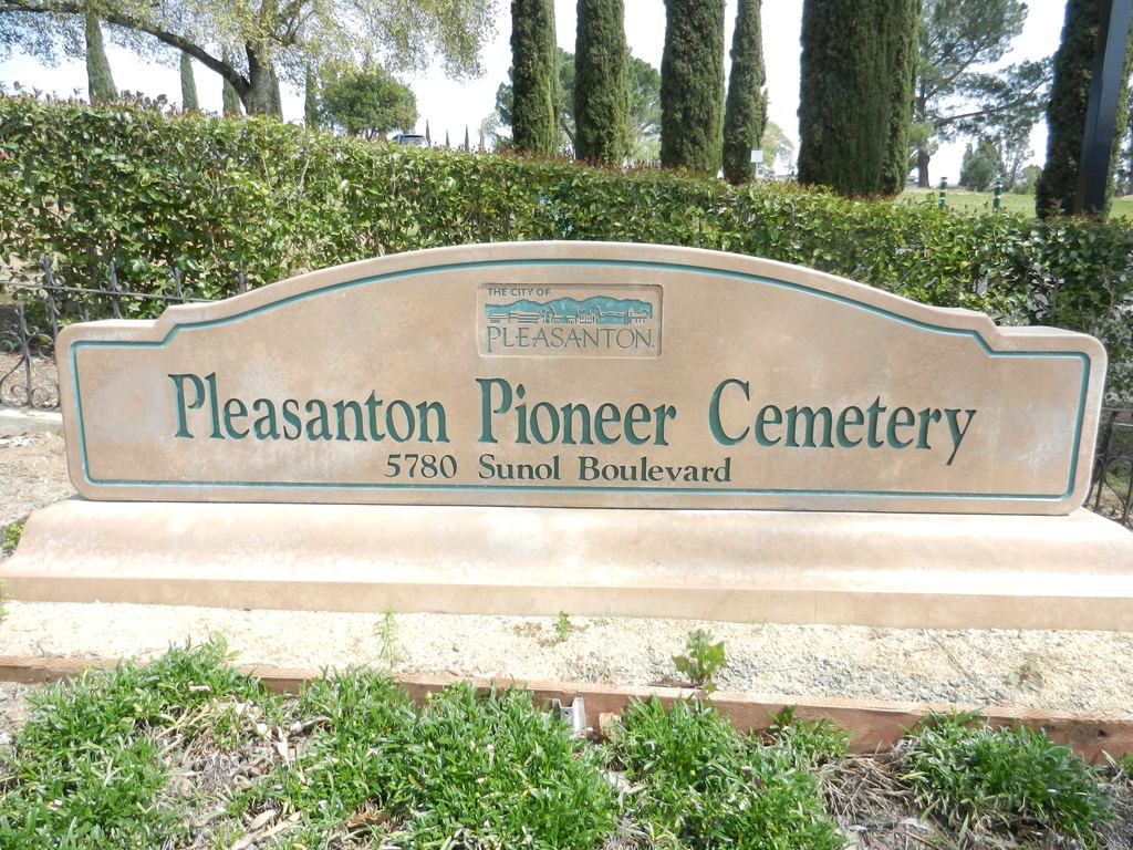
| Location | : | Pleasanton, Alameda County, USA |
| Phone | : | (925) 462-2104 |
| Website | : | www.l-ags.org/cem_pd/cemtitle.html |
| Coordinate | : | 37.6466179, -121.8812256 |
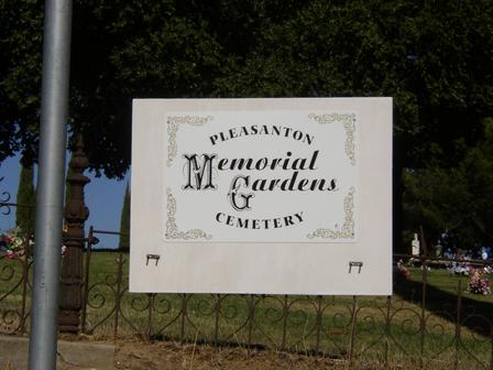
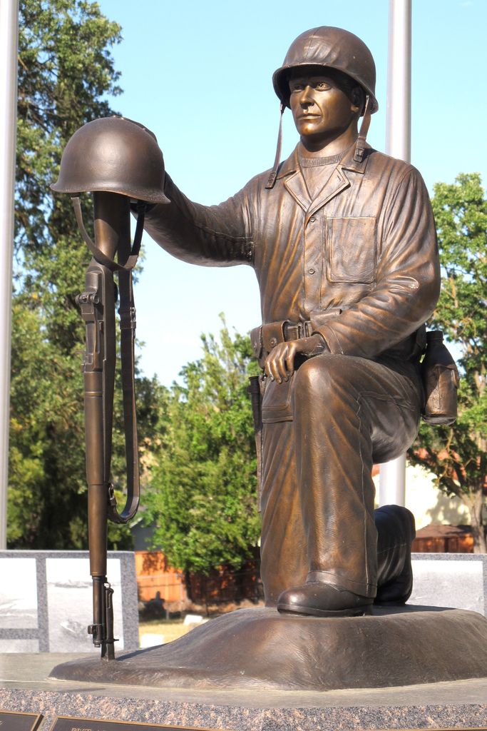
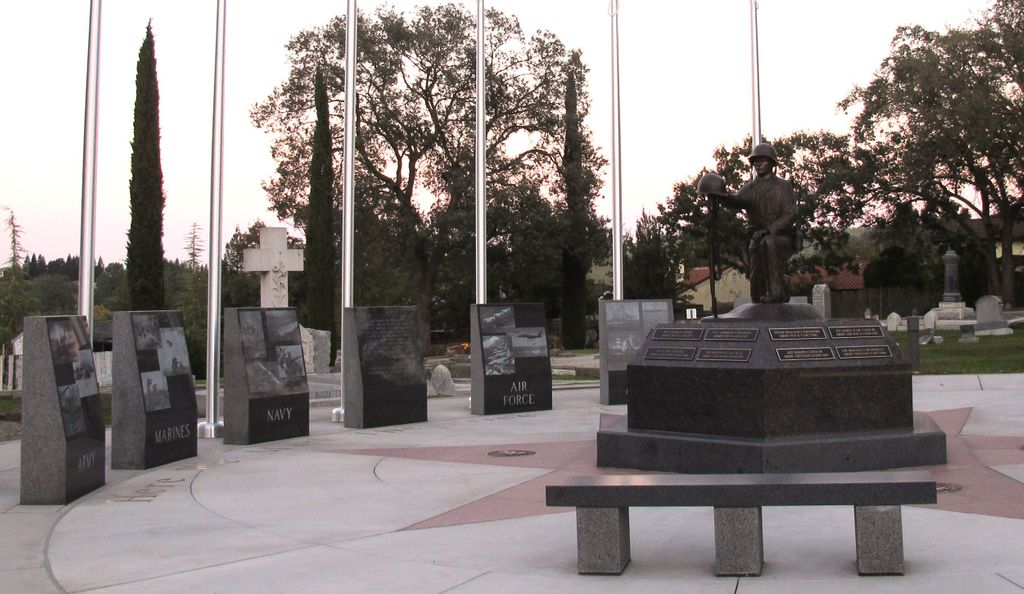
| Description | : | Pleasanton Pioneer Cemetery and St. Augustine's Cemetery are adjoining cemeteries, but they are separate entities. http://www.cityofpleasantonca.gov/resident/pleasanton_pioneer_cemetery/default.asp |
frequently asked questions (FAQ):
-
Where is Pleasanton Memorial Gardens Cemetery?
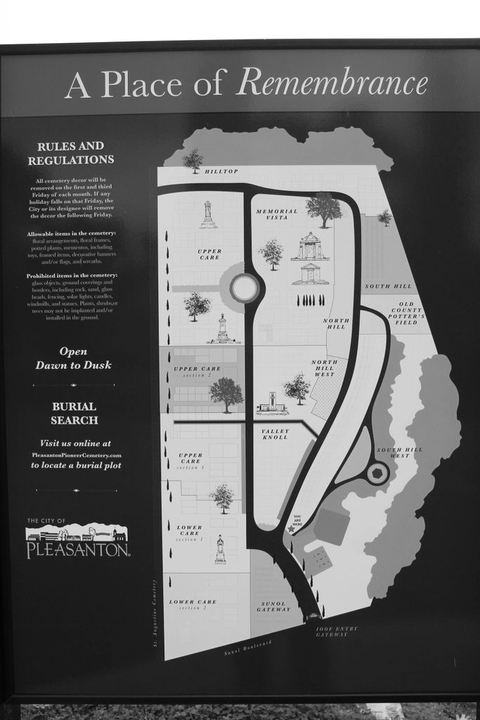
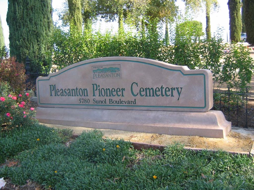
Pleasanton Memorial Gardens Cemetery is located at 5780 Sunol Boulevard Pleasanton, Alameda County ,California , 94566-8303USA.
-
Pleasanton Memorial Gardens Cemetery cemetery's updated grave count on graveviews.com?
564 memorials
-
Where are the coordinates of the Pleasanton Memorial Gardens Cemetery?
Latitude: 37.6466179
Longitude: -121.8812256


Nearby Cemetories:
1. Saint Augustines Cemetery
Pleasanton, Alameda County, USA
Coordinate: 37.6476250, -121.8811340
2. Holy Cross Orthodox Monastery Burial Site
Castro Valley, Alameda County, USA
Coordinate: 37.6331890, -121.9511560
3. Dublin Cemetery
Dublin, Alameda County, USA
Coordinate: 37.6996040, -121.9384384
4. Oak Knoll Pioneer Memorial Park (Defunct)
Livermore, Alameda County, USA
Coordinate: 37.6770660, -121.7896590
5. Roselawn Cemetery
Livermore, Alameda County, USA
Coordinate: 37.6947000, -121.7734800
6. IOOF Memory Gardens Cemetery
Livermore, Alameda County, USA
Coordinate: 37.6797850, -121.7526100
7. Saint Michaels Cemetery
Livermore, Alameda County, USA
Coordinate: 37.6797790, -121.7519150
8. Dominican Sisters of Mission San Jose Cemetery
Fremont, Alameda County, USA
Coordinate: 37.5342751, -121.9184265
9. Mission San Jose Cemetery
Fremont, Alameda County, USA
Coordinate: 37.5338287, -121.9200745
10. Chapel of the Chimes Memorial Park
Hayward, Alameda County, USA
Coordinate: 37.6110992, -122.0222015
11. Garin Regional Park
Hayward, Alameda County, USA
Coordinate: 37.6365760, -122.0338690
12. Ohlone Indians Cemetery
Fremont, Alameda County, USA
Coordinate: 37.5317001, -121.9344025
13. Irvington Memorial Cemetery
Fremont, Alameda County, USA
Coordinate: 37.5325012, -121.9653015
14. Saint Josephs Cemetery
Fremont, Alameda County, USA
Coordinate: 37.5172005, -121.9175034
15. Centerville Pioneer Cemetery
Fremont, Alameda County, USA
Coordinate: 37.5596504, -122.0080643
16. Lone Tree Cemetery
Hayward, Alameda County, USA
Coordinate: 37.6747017, -122.0483017
17. Saint James Episcopal Church Columbarium
Fremont, Alameda County, USA
Coordinate: 37.5514440, -122.0171910
18. Holy Sepulchre Cemetery
Hayward, Alameda County, USA
Coordinate: 37.6486588, -122.0647125
19. Holy Ghost Cemetery
Fremont, Alameda County, USA
Coordinate: 37.5410995, -122.0132980
20. Mount Saint Joseph Cemetery
Hayward, Alameda County, USA
Coordinate: 37.6685028, -122.0760422
21. Five Pillars Farm Cemetery
Livermore, Alameda County, USA
Coordinate: 37.7262764, -121.7105789
22. Mount Eden Cemetery
Hayward, Alameda County, USA
Coordinate: 37.6384000, -122.1105800
23. Cedar Lawn Memorial Park
Fremont, Alameda County, USA
Coordinate: 37.4646988, -121.9131012
24. San Lorenzo Pioneer Memorial Park
San Lorenzo, Alameda County, USA
Coordinate: 37.6901500, -122.1288500