
| Memorials | : | 6 |
| Location | : | Rosebud, Falls County, USA |
| Coordinate | : | 31.1164820, -96.8905770 |
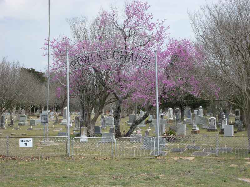
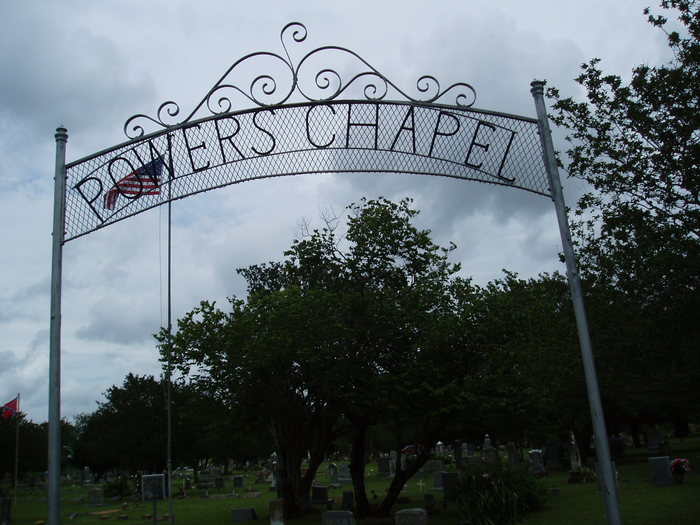
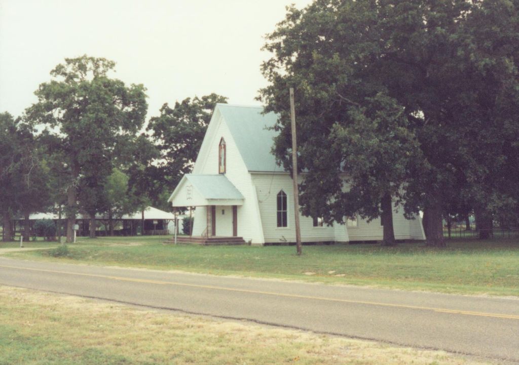
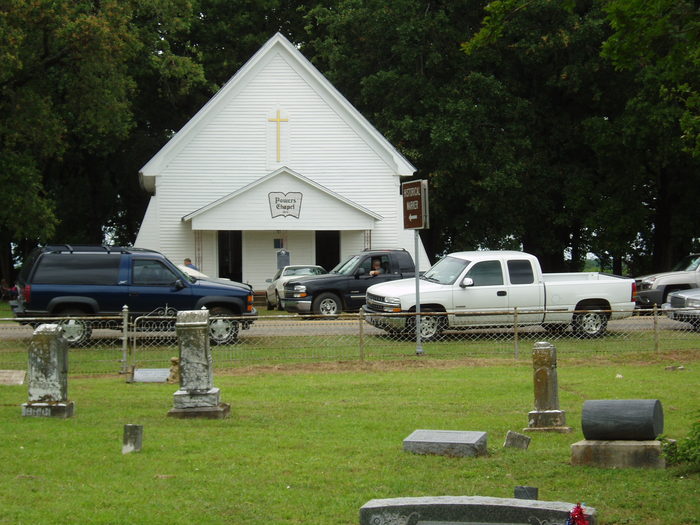
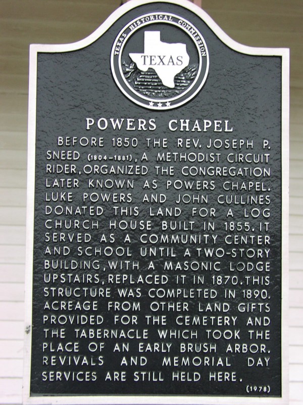
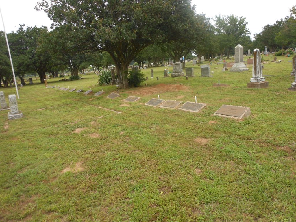
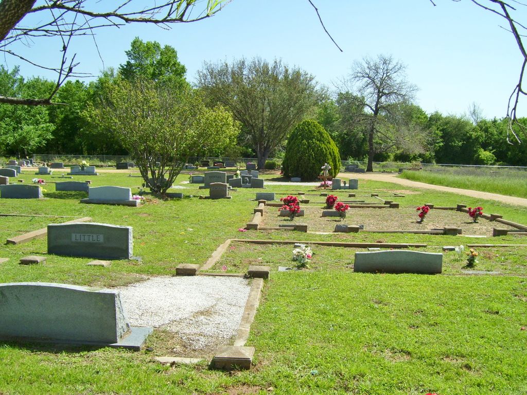
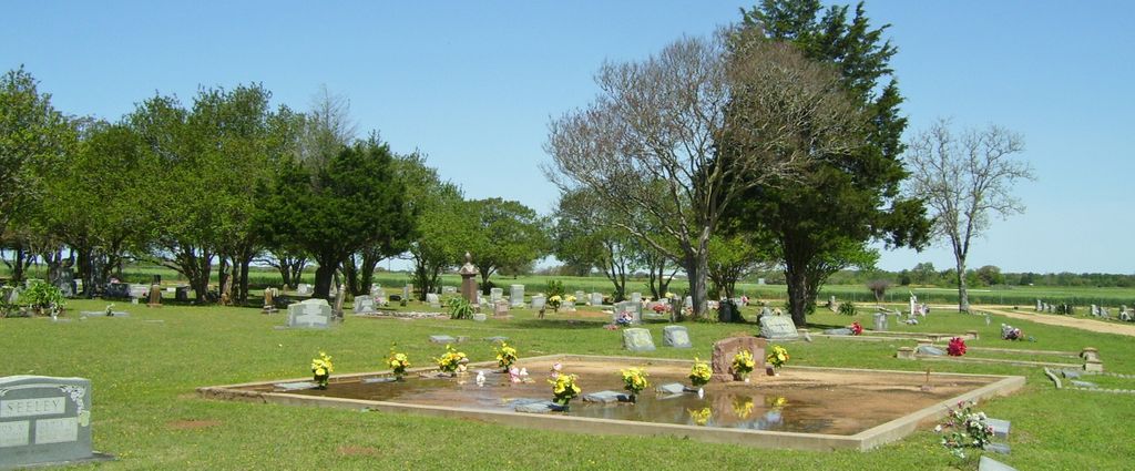
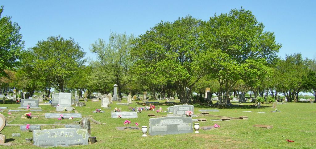
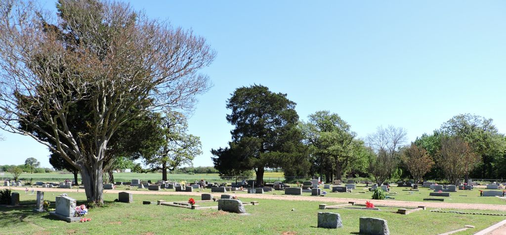
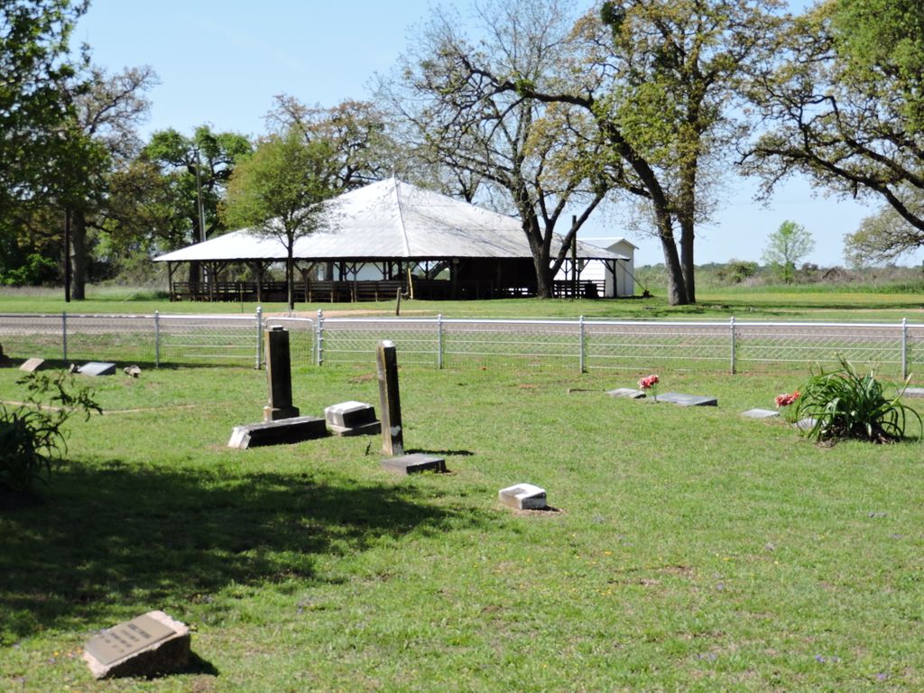
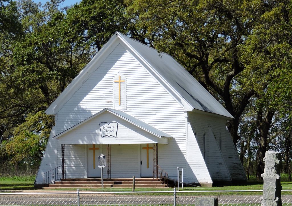
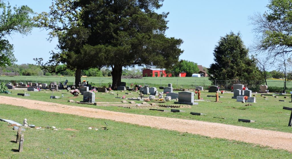
| Description | : | This lovely rural cemetery is fenced with decorative wire fencing on the front and other fencing on the sides. The large property appears to have been enlarged at one time, with the oldest and taller stones on the left side. The sign is located on an arch over the driveway gate and a flag pole is located in close proximity to the sign. There are nice signs showing the different sections of the burial ground. The cemetery is located across the road from the Powers Chapel Church and there is also a large wooden pavilion located in the same... Read More |
frequently asked questions (FAQ):
-
Where is Powers Chapel Cemetery?
Powers Chapel Cemetery is located at 546 Hwy 2027 Rosebud, Falls County ,Texas , 76570USA.
-
Powers Chapel Cemetery cemetery's updated grave count on graveviews.com?
5 memorials
-
Where are the coordinates of the Powers Chapel Cemetery?
Latitude: 31.1164820
Longitude: -96.8905770
Nearby Cemetories:
1. Powers Cemetery
Rosebud, Falls County, USA
Coordinate: 31.1081000, -96.8914000
2. Ferguson Cemetery
Rosebud, Falls County, USA
Coordinate: 31.1413200, -96.8841100
3. Shiloh Cemetery
Rosebud, Falls County, USA
Coordinate: 31.1441994, -96.8692017
4. Cedar Springs Cemetery
Rosebud, Falls County, USA
Coordinate: 31.1828190, -96.9204910
5. Fraga Cemetery
Rosebud, Falls County, USA
Coordinate: 31.1308002, -96.8028030
6. Bethany Cemetery
Reagan, Falls County, USA
Coordinate: 31.1896160, -96.8556810
7. Powell Cemetery
Lott, Falls County, USA
Coordinate: 31.1539001, -96.9841995
8. Tarver Cemetery
Falls County, USA
Coordinate: 31.1119080, -96.9956470
9. Sacred Heart Cemetery
Rosebud, Falls County, USA
Coordinate: 31.0723110, -96.9845140
10. Zion Rock Baptist Church Cemetery
Highbank, Falls County, USA
Coordinate: 31.1870000, -96.8219000
11. Woodland Cemetery
Rosebud, Falls County, USA
Coordinate: 31.0711002, -96.9852982
12. Willing Worker Cemetery
Rosebud, Falls County, USA
Coordinate: 31.0719520, -96.9868690
13. Highbank Catholic Cemetery
Reagan, Falls County, USA
Coordinate: 31.1831710, -96.8073690
14. Pool Family Cemetery
Lott, Falls County, USA
Coordinate: 31.1816700, -96.9805600
15. Jerusalem Cemetery
Lott, Falls County, USA
Coordinate: 31.2060940, -96.9547010
16. Winston Cemetery
Reagan, Falls County, USA
Coordinate: 31.2247170, -96.9007350
17. Phillips Cemetery
Lott, Falls County, USA
Coordinate: 31.1506004, -97.0128021
18. Sanches Cemetery
Travis, Falls County, USA
Coordinate: 31.1503600, -97.0138500
19. Krumnow Cemetery
Cedar Springs, Falls County, USA
Coordinate: 31.2138020, -96.9533530
20. Fish Creek Cemetery
Reagan, Falls County, USA
Coordinate: 31.1839190, -96.7825070
21. Bluebonnet Cemetery
Rosebud, Falls County, USA
Coordinate: 31.0599995, -97.0074997
22. Broadus Cemetery
Lott, Falls County, USA
Coordinate: 31.2214840, -96.9497990
23. Old Bowman Cemetery
Marlin, Falls County, USA
Coordinate: 31.2318310, -96.8608210
24. Pomykal Cemetery
Rosebud, Falls County, USA
Coordinate: 31.0425700, -97.0028300