| Memorials | : | 0 |
| Location | : | Amherst County, USA |
| Coordinate | : | 37.5560074, -79.3666916 |
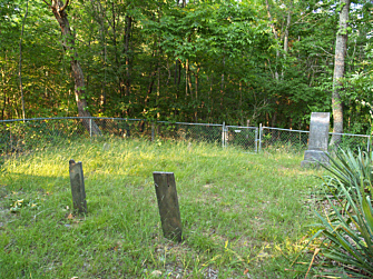
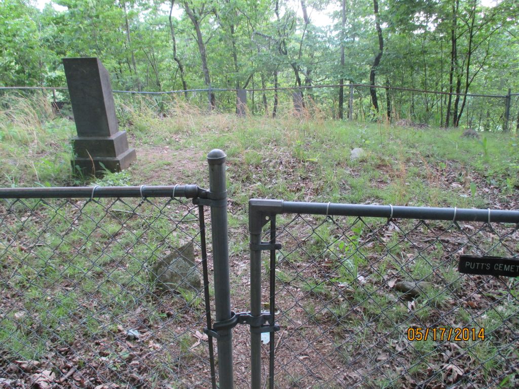
| Description | : | Located off the Trail of Trees on the Blue Ridge Parkway. Access the Blue Ridge Parkway just north of Big Island, VA. Travel north for 0.4 miles, crossing the bridge over the river, to the James River Visitor's Center. The Trail of Trees can be accessed from the visitor's center (milepost 63.8). Several headstones are present that are worn smooth and unidentifiable. |
frequently asked questions (FAQ):
-
Where is Putt's Cemetery?
Putt's Cemetery is located at Blue Ridge Parkway Amherst County ,Virginia , 24526USA.
-
Putt's Cemetery cemetery's updated grave count on graveviews.com?
0 memorials
-
Where are the coordinates of the Putt's Cemetery?
Latitude: 37.5560074
Longitude: -79.3666916
Nearby Cemetories:
1. Chestnut Hill Baptist Church Cemetery
Big Island, Bedford County, USA
Coordinate: 37.5706315, -79.3759826
2. Sharon Cemetery
Big Island, Bedford County, USA
Coordinate: 37.5450640, -79.3896030
3. Big Island Cemetery
Big Island, Bedford County, USA
Coordinate: 37.5344570, -79.3625370
4. Hunting Creek Baptist Church Cemetery
Big Island, Bedford County, USA
Coordinate: 37.5354988, -79.4041302
5. Waugh Switch Cemetery
Big Island, Bedford County, USA
Coordinate: 37.5209131, -79.3517741
6. Ivy Hill Cemetery
Monroe, Amherst County, USA
Coordinate: 37.5452270, -79.3178590
7. Cheatham Cemetery
Naola, Amherst County, USA
Coordinate: 37.5744090, -79.3199070
8. McCulloch Family Cemetery
Monroe, Amherst County, USA
Coordinate: 37.5198230, -79.3305690
9. Corner Stone Baptist Church Cemetery
Monroe, Amherst County, USA
Coordinate: 37.5491250, -79.3051220
10. Centenary Burial Association Cemetery
Naola, Amherst County, USA
Coordinate: 37.5464420, -79.3018490
11. Reed Creek Baptist Church Cemetery
Big Island, Bedford County, USA
Coordinate: 37.5170890, -79.4185340
12. Brown Family Cemetery
Naola, Amherst County, USA
Coordinate: 37.5622220, -79.2930560
13. Penn-Parks Family Cemetery
Big Island, Bedford County, USA
Coordinate: 37.4961870, -79.4009120
14. Pera Road Cemetery
Pera, Amherst County, USA
Coordinate: 37.6189315, -79.3161628
15. Minor Family Cemetery
Pedlar Mills, Amherst County, USA
Coordinate: 37.5564200, -79.2720900
16. Ernest L. White Cemetery
Monroe, Amherst County, USA
Coordinate: 37.6179680, -79.3098330
17. Cove United Methodist Church Cemetery
Coleman Falls, Bedford County, USA
Coordinate: 37.4989894, -79.3010842
18. Ottie Cline Powell Grave
Pera, Amherst County, USA
Coordinate: 37.6162540, -79.3007570
19. Saint Lukes Episcopal Church Cemetery
Pedlar Mills, Amherst County, USA
Coordinate: 37.5590680, -79.2545970
20. Brown Family Cemetery
Pera, Amherst County, USA
Coordinate: 37.6191448, -79.2852638
21. Antioch Baptist Church Cemetery
Coleman Falls, Bedford County, USA
Coordinate: 37.4858666, -79.2842774
22. Mount Tabor United Methodist Church Cemetery
Monroe, Amherst County, USA
Coordinate: 37.5350660, -79.2432960
23. Foster Family Cemetery
Pleasant View, Amherst County, USA
Coordinate: 37.5891710, -79.2460330
24. Sligh - Martin Cemetery
Eagles Eyrie, Bedford County, USA
Coordinate: 37.4819150, -79.2764340


