
| Memorials | : | 24 |
| Location | : | Mesa, Maricopa County, USA |
| Phone | : | 480-892-3729 |
| Website | : | www.qohcfh.org |
| Coordinate | : | 33.3800011, -111.8000031 |
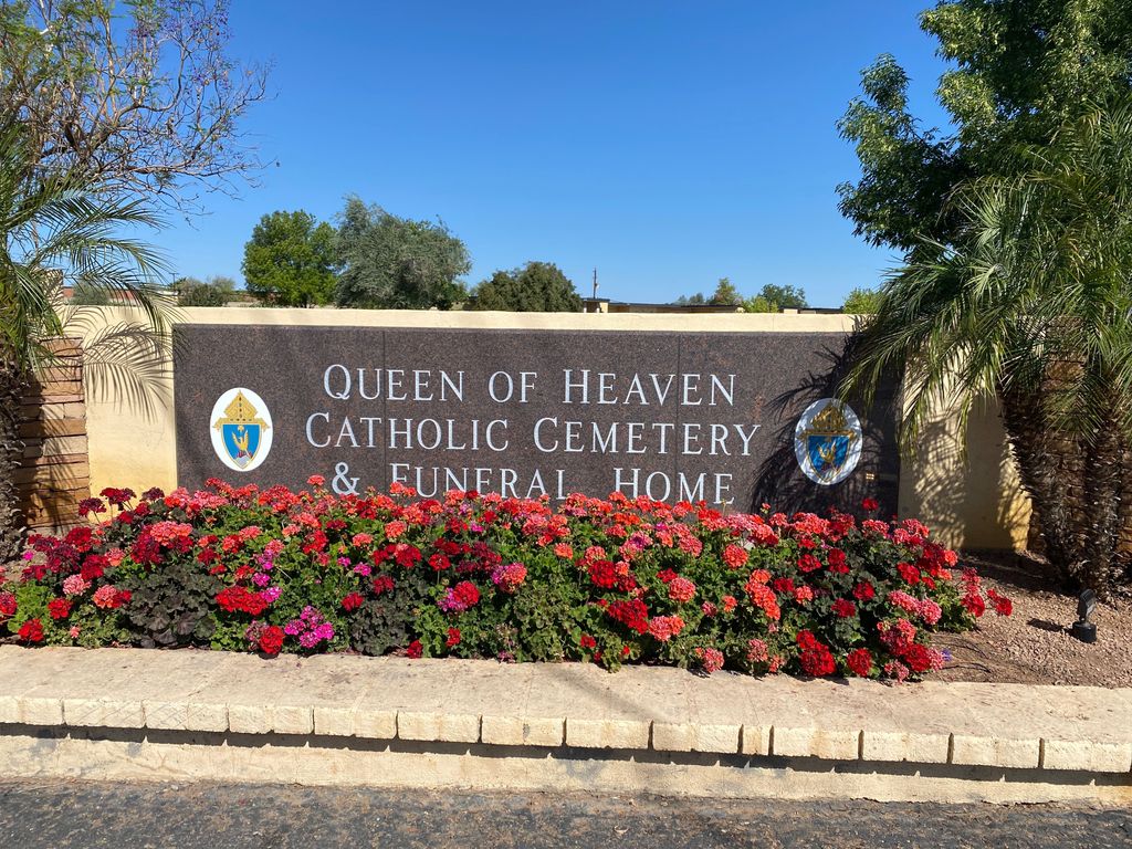
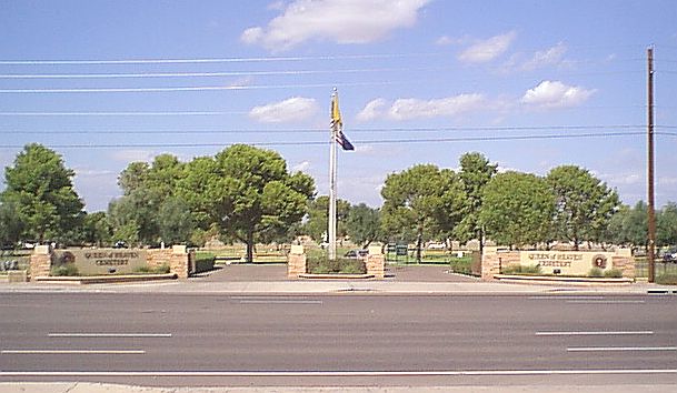
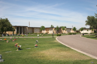
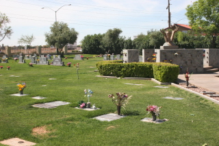
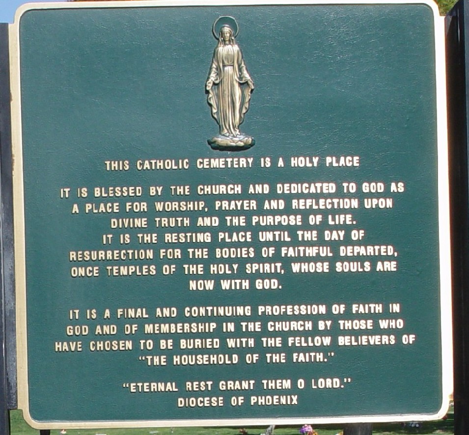
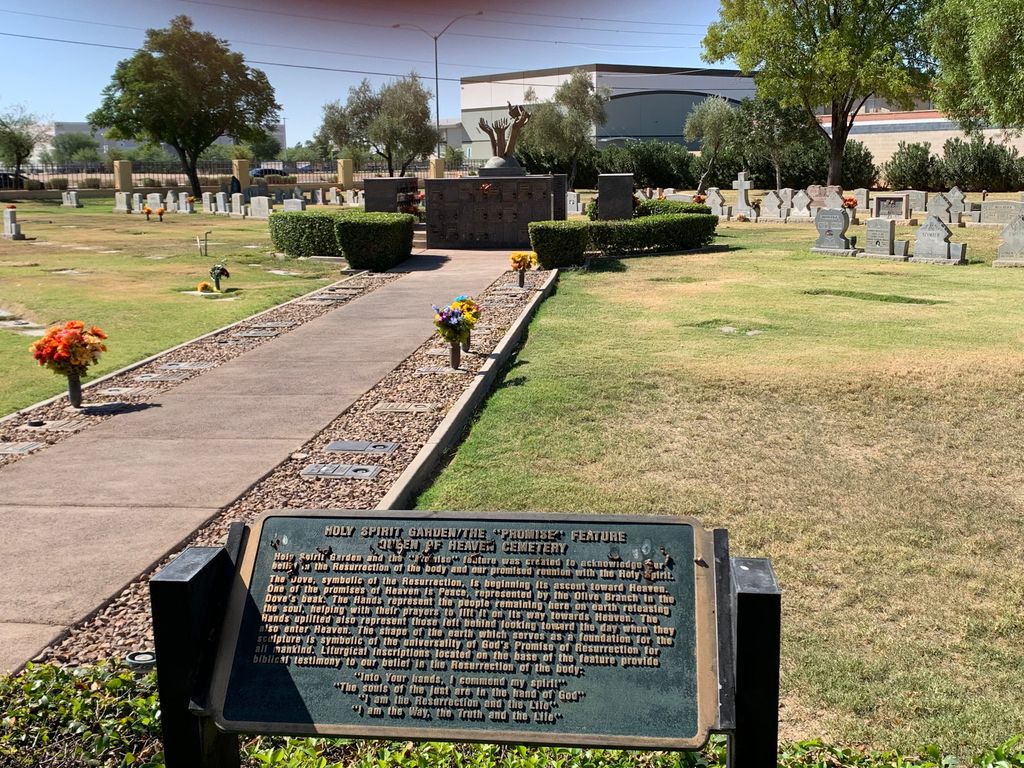
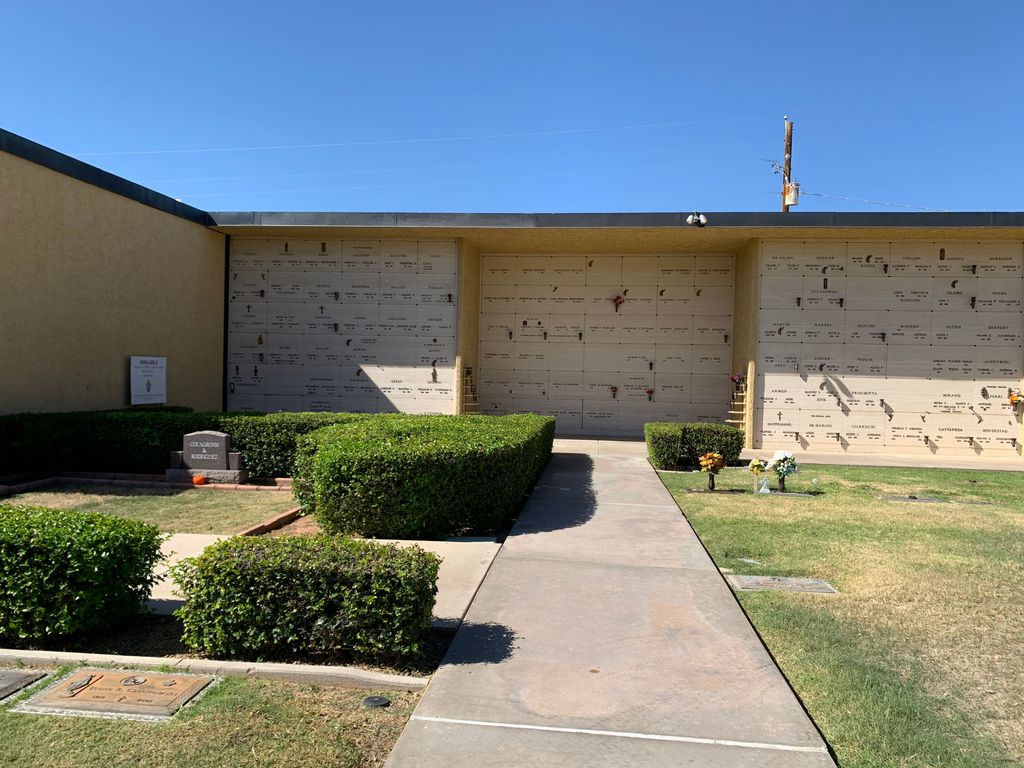
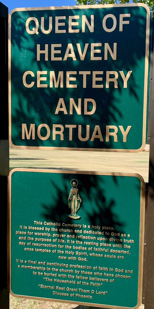
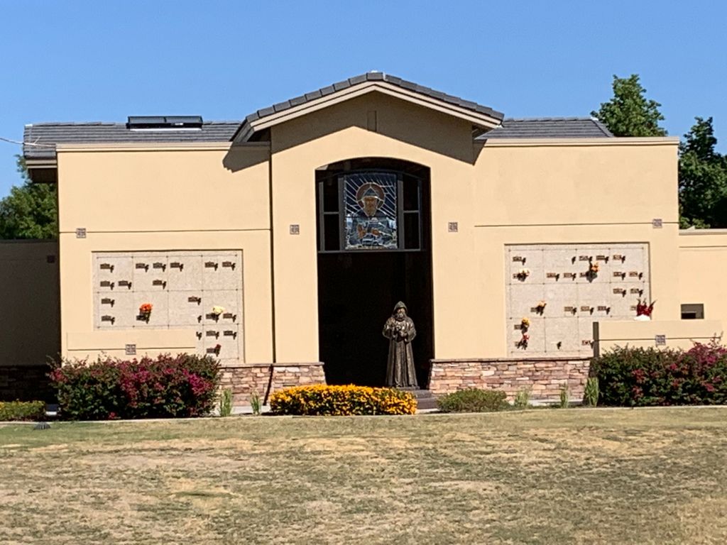
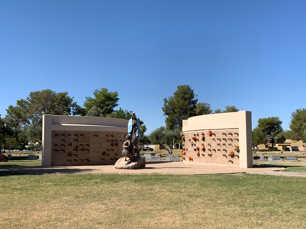
| Description | : | Queen of Heaven Cemetery was founded in 1978 and is the first Catholic cemetery in the Diocese of Phoenix. The cemetery administration will not assist researchers or Findagrave members to locate grave sites and discourages non-family members from photographing grave markers. If you are a direct family member, you can call the office at (480) 892-3729 and get the grave location. |
frequently asked questions (FAQ):
-
Where is Queen of Heaven Catholic Cemetery?
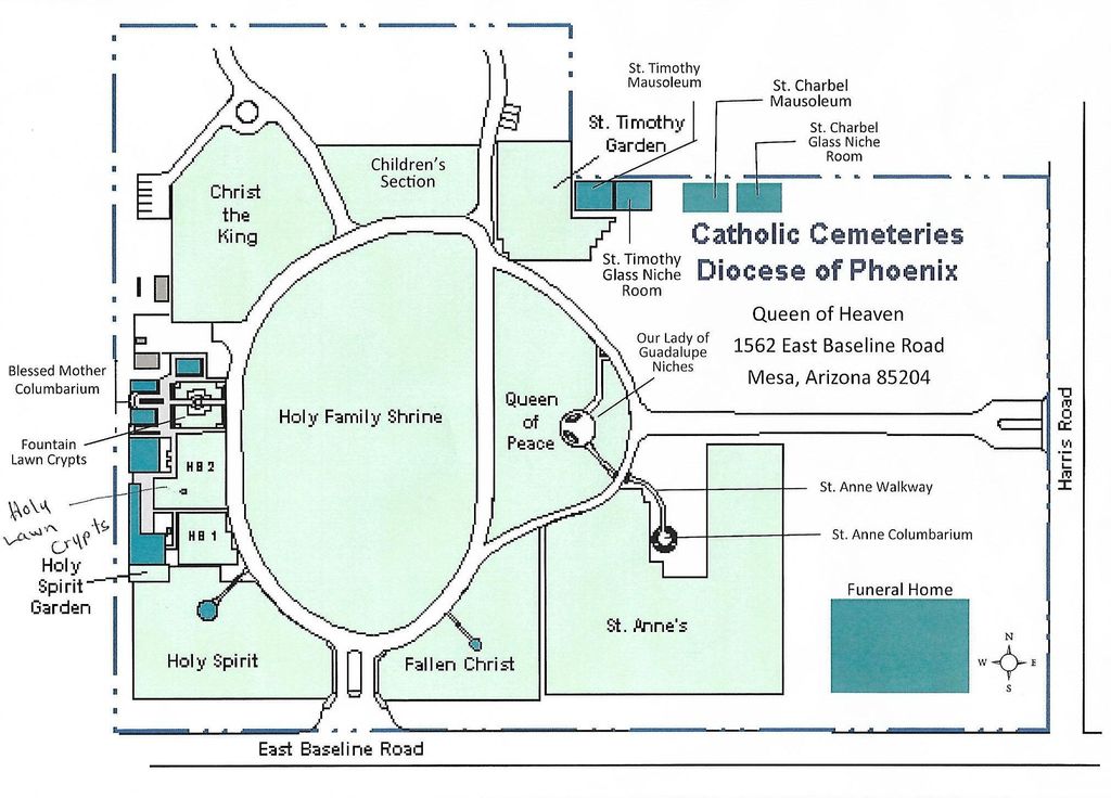
Queen of Heaven Catholic Cemetery is located at 1562 E Baseline Road Mesa, Maricopa County ,Arizona , 85204USA.
-
Queen of Heaven Catholic Cemetery cemetery's updated grave count on graveviews.com?
23 memorials
-
Where are the coordinates of the Queen of Heaven Catholic Cemetery?
Latitude: 33.3800011
Longitude: -111.8000031
Nearby Cemetories:
1. First United Methodist Church Columbarium
Gilbert, Maricopa County, USA
Coordinate: 33.3435440, -111.8057160
2. First United Methodist Church of Mesa Columbarium
Mesa, Maricopa County, USA
Coordinate: 33.4127690, -111.8307530
3. Saint Marks Episcopal Church Columbarium
Mesa, Maricopa County, USA
Coordinate: 33.4215140, -111.8147770
4. First Presbyterian Church of Mesa Columbarium
Mesa, Maricopa County, USA
Coordinate: 33.4190950, -111.8225900
5. First Evangelical Lutheran Church Memorial Garden
Mesa, Maricopa County, USA
Coordinate: 33.4182770, -111.8448890
6. City of Mesa Cemetery
Mesa, Maricopa County, USA
Coordinate: 33.4383774, -111.8329163
7. Episcopal Church of the Epiphany Columbarium
Tempe, Maricopa County, USA
Coordinate: 33.4033720, -111.8932090
8. Velda Rose Garden
Mesa, Maricopa County, USA
Coordinate: 33.4160000, -111.7110000
9. Holy Trinity Lutheran Church Memory Gardens
Chandler, Maricopa County, USA
Coordinate: 33.3094100, -111.8532100
10. Saint Matthew’s Episcopal Church Memorial Garden
Chandler, Maricopa County, USA
Coordinate: 33.3092540, -111.8573010
11. Victory Lutheran Church Memorial Garden
Mesa, Maricopa County, USA
Coordinate: 33.4238470, -111.7024970
12. Salt River Pima-Maricopa Indian Cemetery
Maricopa County, USA
Coordinate: 33.4687000, -111.8502000
13. Mariposa Gardens Memorial Park
Mesa, Maricopa County, USA
Coordinate: 33.4081760, -111.6860250
14. Desert Palm United Church of Christ Columbarium
Tempe, Maricopa County, USA
Coordinate: 33.3647120, -111.9184340
15. Lehi Cemetery
Maricopa County, USA
Coordinate: 33.4811740, -111.8103000
16. Presbyterian Church of the Master Columbarium
Mesa, Maricopa County, USA
Coordinate: 33.4220990, -111.6879280
17. Desert Cross Lutheran Church Columbarium
Tempe, Maricopa County, USA
Coordinate: 33.3372060, -111.9117590
18. Gethsemane Lutheran Church Memorial Garden
Tempe, Maricopa County, USA
Coordinate: 33.3634360, -111.9246770
19. Mission del Sol Presbyterian Church Columbarium
Tempe, Maricopa County, USA
Coordinate: 33.3347090, -111.9145440
20. Apache Wells Community Church Columbarium
Mesa, Maricopa County, USA
Coordinate: 33.4545260, -111.7087900
21. Green Acres Memorial Park
Scottsdale, Maricopa County, USA
Coordinate: 33.4530983, -111.9056015
22. University Presbyterian Church Memorial Garden
Tempe, Maricopa County, USA
Coordinate: 33.4000090, -111.9366500
23. Saint James Episcopal Church Memorial Garden
Tempe, Maricopa County, USA
Coordinate: 33.3343160, -111.9274950
24. Saint Augustines Episcopal Church Columbarium
Tempe, Maricopa County, USA
Coordinate: 33.4084100, -111.9345750