| Memorials | : | 1 |
| Location | : | Mesa, Maricopa County, USA |
| Phone | : | 480-830-5024 |
| Website | : | victorylutheran.com |
| Coordinate | : | 33.4238470, -111.7024970 |
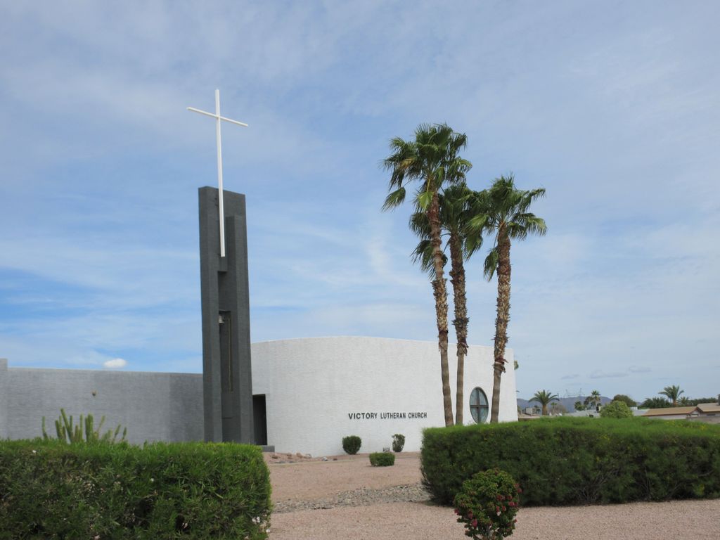
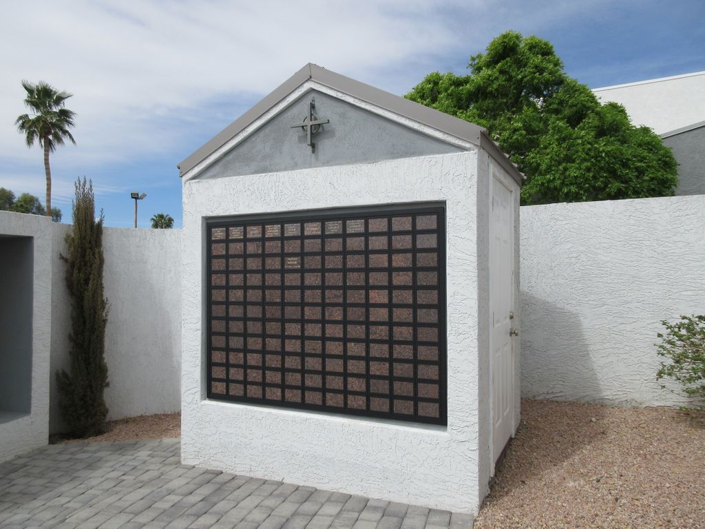
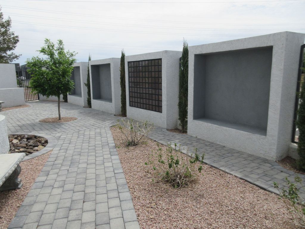
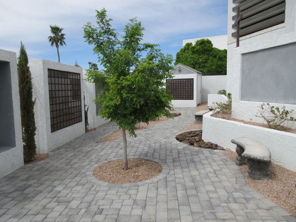
| Description | : | The memorial garden contains a columbarium, along with a separate wall of name plaques for persons whose ashes have been spread in the garden, or who may have been buried elsewhere. The garden is kept locked; however the entry code is given to people who have a family member or loved one in the garden. The church is located at the corner of E. University Drive and N. Recker Road in Mesa, Arizona. |
frequently asked questions (FAQ):
-
Where is Victory Lutheran Church Memorial Garden?
Victory Lutheran Church Memorial Garden is located at 5946 E. University Dr. Mesa, Maricopa County ,Arizona , 85205USA.
-
Victory Lutheran Church Memorial Garden cemetery's updated grave count on graveviews.com?
1 memorials
-
Where are the coordinates of the Victory Lutheran Church Memorial Garden?
Latitude: 33.4238470
Longitude: -111.7024970
Nearby Cemetories:
1. Velda Rose Garden
Mesa, Maricopa County, USA
Coordinate: 33.4160000, -111.7110000
2. Presbyterian Church of the Master Columbarium
Mesa, Maricopa County, USA
Coordinate: 33.4220990, -111.6879280
3. Mariposa Gardens Memorial Park
Mesa, Maricopa County, USA
Coordinate: 33.4081760, -111.6860250
4. Love of Christ Lutheran Church Columbarium
Mesa, Maricopa County, USA
Coordinate: 33.4443000, -111.6834000
5. Apache Wells Community Church Columbarium
Mesa, Maricopa County, USA
Coordinate: 33.4545260, -111.7087900
6. Mountain View Funeral Home and Cemetery
Mesa, Maricopa County, USA
Coordinate: 33.4160995, -111.6603012
7. Desert Haven Columbarium
Mesa, Maricopa County, USA
Coordinate: 33.4691300, -111.6850800
8. Queen of Heaven Catholic Cemetery
Mesa, Maricopa County, USA
Coordinate: 33.3800011, -111.8000031
9. Saint Marks Episcopal Church Columbarium
Mesa, Maricopa County, USA
Coordinate: 33.4215140, -111.8147770
10. Church of the Transfiguration Columbarium
Mesa, Maricopa County, USA
Coordinate: 33.4061240, -111.5898330
11. First Presbyterian Church of Mesa Columbarium
Mesa, Maricopa County, USA
Coordinate: 33.4190950, -111.8225900
12. Lehi Cemetery
Maricopa County, USA
Coordinate: 33.4811740, -111.8103000
13. First United Methodist Church of Mesa Columbarium
Mesa, Maricopa County, USA
Coordinate: 33.4127690, -111.8307530
14. City of Mesa Cemetery
Mesa, Maricopa County, USA
Coordinate: 33.4383774, -111.8329163
15. First United Methodist Church Columbarium
Gilbert, Maricopa County, USA
Coordinate: 33.3435440, -111.8057160
16. First Evangelical Lutheran Church Memorial Garden
Mesa, Maricopa County, USA
Coordinate: 33.4182770, -111.8448890
17. Salt River Pima-Maricopa Indian Cemetery
Maricopa County, USA
Coordinate: 33.4687000, -111.8502000
18. Catholic Church Cemetery
Salt River, Maricopa County, USA
Coordinate: 33.4853210, -111.8686880
19. Episcopal Church of the Epiphany Columbarium
Tempe, Maricopa County, USA
Coordinate: 33.4033720, -111.8932090
20. Mountain View Lutheran Church Columbarium
Apache Junction, Pinal County, USA
Coordinate: 33.3952940, -111.5119390
21. Gilbert Memorial Park
Gilbert, Maricopa County, USA
Coordinate: 33.2633783, -111.7456097
22. Holy Trinity Lutheran Church Memory Gardens
Chandler, Maricopa County, USA
Coordinate: 33.3094100, -111.8532100
23. Green Acres Memorial Park
Scottsdale, Maricopa County, USA
Coordinate: 33.4530983, -111.9056015
24. Saint Matthew’s Episcopal Church Memorial Garden
Chandler, Maricopa County, USA
Coordinate: 33.3092540, -111.8573010


