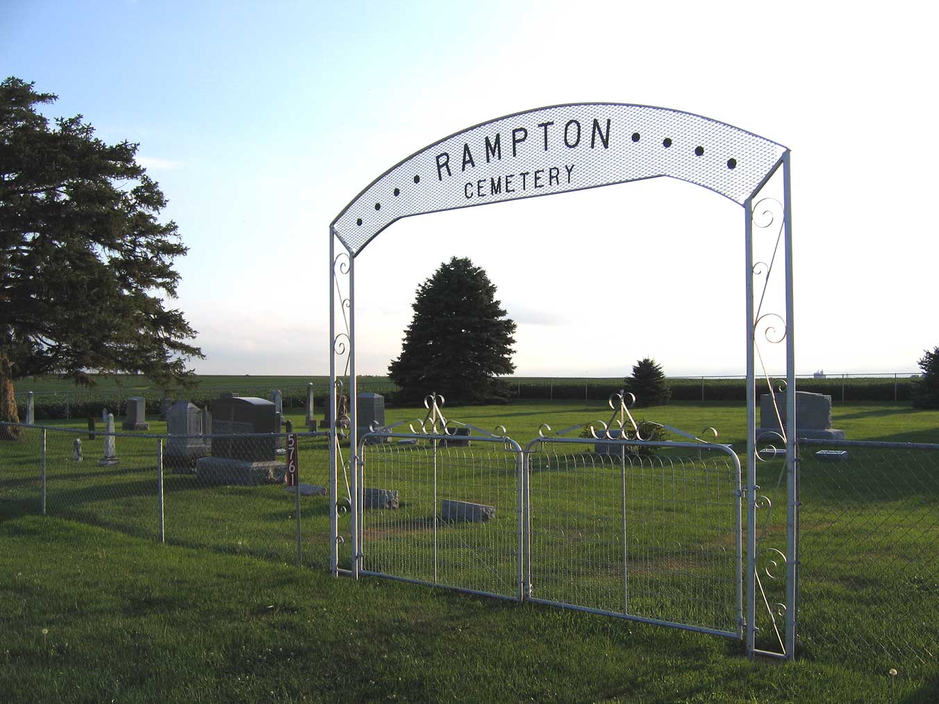
| Memorials | : | 140 |
| Location | : | Monroe Township, Benton County, USA |
| Coordinate | : | 42.1866989, -92.2605972 |
| Description | : | Rampton Cemetery is entirely within Benton Co. It is in Section 8 of Monroe Twp. Dysart is right on the border of Tama and Benton (it is mostly in Tama), but Rampton Cemetery is two miles east of Dysart, so well away from the border. |
frequently asked questions (FAQ):
-
Where is Rampton Cemetery?
Rampton Cemetery is located at Monroe Township, Benton County ,Iowa ,USA.
-
Rampton Cemetery cemetery's updated grave count on graveviews.com?
1 memorials
-
Where are the coordinates of the Rampton Cemetery?
Latitude: 42.1866989
Longitude: -92.2605972
Nearby Cemetories:
1. Urmy Cemetery
Benton County, USA
Coordinate: 42.1719017, -92.2281036
2. Saint Josephs Catholic Cemetery
Benton County, USA
Coordinate: 42.1719017, -92.2981033
3. Brown Bruce Township Cemetery
Benton County, USA
Coordinate: 42.2163430, -92.2799680
4. Gnagy Cemetery
Benton County, USA
Coordinate: 42.1418991, -92.2416992
5. Dysart Cemetery
Dysart, Tama County, USA
Coordinate: 42.1608009, -92.3193970
6. Fairview Cemetery
Benton County, USA
Coordinate: 42.2141991, -92.2007980
7. Hill Cemetery
Tama County, USA
Coordinate: 42.2542000, -92.3075027
8. Houghton Cemetery
Benton County, USA
Coordinate: 42.1088982, -92.2794037
9. Spencer Cemetery
Dysart, Tama County, USA
Coordinate: 42.2592120, -92.3353840
10. Carlisle Grove Cemetery
Garrison, Benton County, USA
Coordinate: 42.1730995, -92.1386032
11. Garrison Cemetery
Garrison, Benton County, USA
Coordinate: 42.1369019, -92.1483002
12. Pratt Creek Cemetery
Vinton, Benton County, USA
Coordinate: 42.2104000, -92.1307400
13. Geneseo Cemetery
Buckingham, Tama County, USA
Coordinate: 42.2764370, -92.3523950
14. Lone Pine Cemetery
Tama County, USA
Coordinate: 42.0797005, -92.3082962
15. Big Grove-Homer Cemetery
Benton County, USA
Coordinate: 42.0867004, -92.1821976
16. Kirchner Cemetery
Benton County, USA
Coordinate: 42.0727300, -92.2027400
17. Greenwalt Cemetery
Mount Auburn, Benton County, USA
Coordinate: 42.2256012, -92.1038971
18. Engledow Cemetery
Mount Auburn, Benton County, USA
Coordinate: 42.2686996, -92.1330032
19. Oneida Cemetery
Clutier, Tama County, USA
Coordinate: 42.1007996, -92.3966980
20. West Union Cemetery
Traer, Tama County, USA
Coordinate: 42.1817017, -92.4449997
21. Indian Cemetery
Garrison, Benton County, USA
Coordinate: 42.0999956, -92.1168495
22. Twogood Cemetery
Benton County, USA
Coordinate: 42.0499992, -92.2799988
23. Westview Cemetery
La Porte City, Black Hawk County, USA
Coordinate: 42.3107986, -92.1699982
24. Clutier Cemetery
Clutier, Tama County, USA
Coordinate: 42.0792007, -92.3858032

