
| Memorials | : | 0 |
| Location | : | Benton County, USA |
| Coordinate | : | 42.1719017, -92.2981033 |
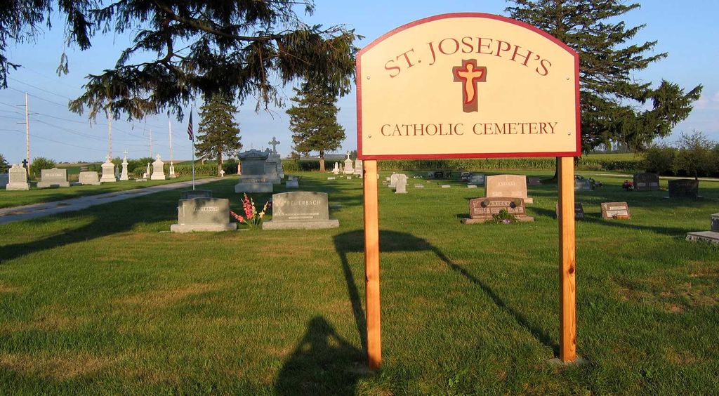
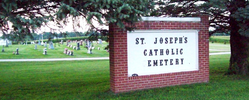
| Description | : | Saint Josephs Catholic Cemetery is in Dysart, Benton County, Iowa. Dysart is divided by Highway 21, which is the dividing line between Benton County and Tama County. One side is Benton the other side is Tama. The cemetery is in the Benton County side. |
frequently asked questions (FAQ):
-
Where is Saint Josephs Catholic Cemetery?
Saint Josephs Catholic Cemetery is located at Benton County ,Iowa ,USA.
-
Saint Josephs Catholic Cemetery cemetery's updated grave count on graveviews.com?
0 memorials
-
Where are the coordinates of the Saint Josephs Catholic Cemetery?
Latitude: 42.1719017
Longitude: -92.2981033
Nearby Cemetories:
1. Dysart Cemetery
Dysart, Tama County, USA
Coordinate: 42.1608009, -92.3193970
2. Rampton Cemetery
Monroe Township, Benton County, USA
Coordinate: 42.1866989, -92.2605972
3. Brown Bruce Township Cemetery
Benton County, USA
Coordinate: 42.2163430, -92.2799680
4. Gnagy Cemetery
Benton County, USA
Coordinate: 42.1418991, -92.2416992
5. Urmy Cemetery
Benton County, USA
Coordinate: 42.1719017, -92.2281036
6. Houghton Cemetery
Benton County, USA
Coordinate: 42.1088982, -92.2794037
7. Hill Cemetery
Tama County, USA
Coordinate: 42.2542000, -92.3075027
8. Fairview Cemetery
Benton County, USA
Coordinate: 42.2141991, -92.2007980
9. Spencer Cemetery
Dysart, Tama County, USA
Coordinate: 42.2592120, -92.3353840
10. Lone Pine Cemetery
Tama County, USA
Coordinate: 42.0797005, -92.3082962
11. Oneida Cemetery
Clutier, Tama County, USA
Coordinate: 42.1007996, -92.3966980
12. West Union Cemetery
Traer, Tama County, USA
Coordinate: 42.1817017, -92.4449997
13. Geneseo Cemetery
Buckingham, Tama County, USA
Coordinate: 42.2764370, -92.3523950
14. Clutier Cemetery
Clutier, Tama County, USA
Coordinate: 42.0792007, -92.3858032
15. Garrison Cemetery
Garrison, Benton County, USA
Coordinate: 42.1369019, -92.1483002
16. Carlisle Grove Cemetery
Garrison, Benton County, USA
Coordinate: 42.1730995, -92.1386032
17. Big Grove-Homer Cemetery
Benton County, USA
Coordinate: 42.0867004, -92.1821976
18. Kirchner Cemetery
Benton County, USA
Coordinate: 42.0727300, -92.2027400
19. Roadside Cemetery
Clutier, Tama County, USA
Coordinate: 42.0574800, -92.3548800
20. Twogood Cemetery
Benton County, USA
Coordinate: 42.0499992, -92.2799988
21. Saint Pauls Catholic Cemetery
Traer, Tama County, USA
Coordinate: 42.1832000, -92.4688000
22. Pratt Creek Cemetery
Vinton, Benton County, USA
Coordinate: 42.2104000, -92.1307400
23. Buckingham Cemetery
Traer, Tama County, USA
Coordinate: 42.2069016, -92.4741974
24. Saint Wenceslaus Cemetery
Clutier, Tama County, USA
Coordinate: 42.0870000, -92.4460000