| Memorials | : | 23 |
| Location | : | Rangiora, Waimakariri District, New Zealand |
| Coordinate | : | -43.2909600, 172.5934900 |
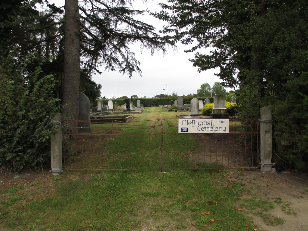
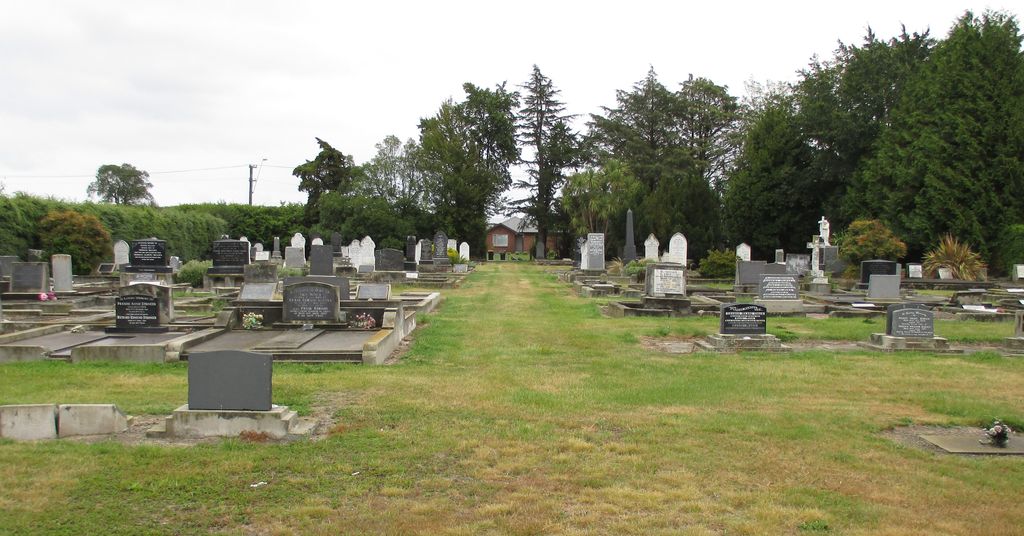
| Description | : | The Methodist Cemetery is located on Ashley Street adjacent to the A&P Showgrounds. It is accessed via small iron entrance gates and is surrounded by hedging and mature trees. This was originally the Wesleyan Methodist burial ground, bought after the dispute with the Anglicans. The Free Methodist interments began in the East Belt Cemetery some years later. The union of the Free Methodists and Wesleyans took place in 1896, and since then this has been Rangiora Methodists' resting place. Some pioneer family names are to be found among the headstones. |
frequently asked questions (FAQ):
-
Where is Rangiora Methodist Cemetery?
Rangiora Methodist Cemetery is located at 156 Ashley St Rangiora, Waimakariri District ,Canterbury , 7400New Zealand.
-
Rangiora Methodist Cemetery cemetery's updated grave count on graveviews.com?
23 memorials
-
Where are the coordinates of the Rangiora Methodist Cemetery?
Latitude: -43.2909600
Longitude: 172.5934900
Nearby Cemetories:
1. Rangiora Park Lawn Cemetery
Rangiora, Waimakariri District, New Zealand
Coordinate: -43.2908200, 172.5986500
2. St John's Anglican Cemetery
Rangiora, Waimakariri District, New Zealand
Coordinate: -43.2955470, 172.5945540
3. Rangiora East Belt Cemetery
Rangiora, Waimakariri District, New Zealand
Coordinate: -43.2998190, 172.5996450
4. Lamb & Hayward Garden of Memories, Wai-mana
Rangiora, Waimakariri District, New Zealand
Coordinate: -43.3018511, 172.6068868
5. Rangiora Roman Catholic Cemetery
Rangiora, Waimakariri District, New Zealand
Coordinate: -43.3083200, 172.5955100
6. Te Uru Ti
Tuahiwi, Waimakariri District, New Zealand
Coordinate: -43.3281100, 172.6455100
7. Saint Brigid's Catholic Cemetery
Loburn, Waimakariri District, New Zealand
Coordinate: -43.2474800, 172.5388100
8. St Barnabas Anglican Cemetery
Woodend, Waimakariri District, New Zealand
Coordinate: -43.3137800, 172.6702300
9. Te Pa Tu O Hawaiki
Tuahiwi, Waimakariri District, New Zealand
Coordinate: -43.3385430, 172.6445480
10. Woodend Methodist Churchyard
Woodend, Waimakariri District, New Zealand
Coordinate: -43.3195400, 172.6672900
11. St. Paul's Church Cemetery
Flaxton, Waimakariri District, New Zealand
Coordinate: -43.3593380, 172.6065530
12. Te Kai a te Atua Urupā
Kaiapoi, Waimakariri District, New Zealand
Coordinate: -43.3595600, 172.6610100
13. Kaiapoi Public Cemetery
Kaiapoi, Waimakariri District, New Zealand
Coordinate: -43.3761690, 172.6364140
14. Mandeville Cemetery
Mandeville North, Waimakariri District, New Zealand
Coordinate: -43.3762080, 172.5408590
15. Raithby Methodist Cemetery
Loburn, Waimakariri District, New Zealand
Coordinate: -43.2257200, 172.5003500
16. Swannanoa Community Churchyard
Swannanoa, Waimakariri District, New Zealand
Coordinate: -43.3701500, 172.4975000
17. Church of England Terrace Cemetery
Sefton, Waimakariri District, New Zealand
Coordinate: -43.2315300, 172.7139100
18. Kaiapoi Anglican Cemetery
Kaiapoi, Waimakariri District, New Zealand
Coordinate: -43.3909700, 172.6510500
19. St Augustine’s Anglican Cemetery
Clarkville, Waimakariri District, New Zealand
Coordinate: -43.4055600, 172.6284700
20. Balcairn Public Cemetery
Balcairn, Hurunui District, New Zealand
Coordinate: -43.1991770, 172.7102070
21. Eyreton St Thomas' Anglican Cemetery
Swannanoa, Waimakariri District, New Zealand
Coordinate: -43.4153900, 172.5508800
22. Brackenbridge Catholic Cemetery
Balcairn, Hurunui District, New Zealand
Coordinate: -43.1675440, 172.6985610
23. St Paul's Churchyard
Leithfield, Hurunui District, New Zealand
Coordinate: -43.1912600, 172.7392000
24. Cust-West Eyreton Cemetery
Cust, Waimakariri District, New Zealand
Coordinate: -43.3183330, 172.3877170


