
| Memorials | : | 424 |
| Location | : | Winchester, Jefferson County, USA |
| Phone | : | (913) 774-4585 |
| Coordinate | : | 39.3258100, -95.2680400 |
frequently asked questions (FAQ):
-
Where is Reformed Presbyterian Church Cemetery?
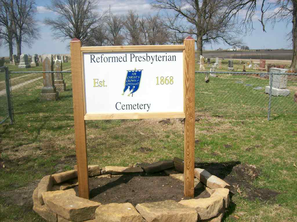
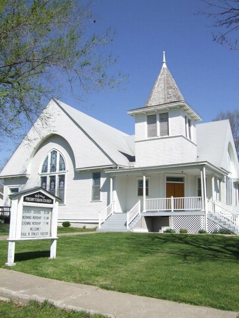
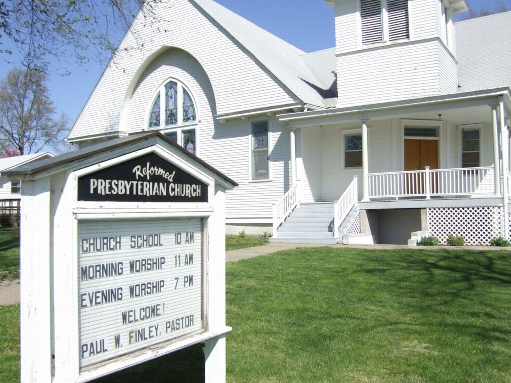
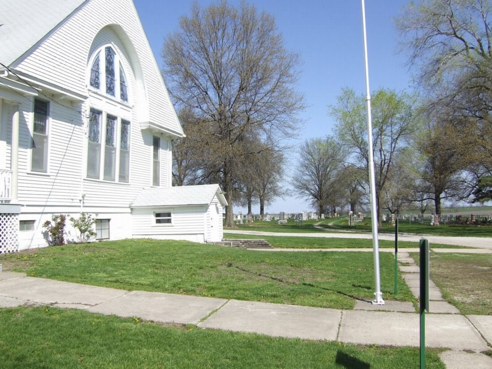
Reformed Presbyterian Church Cemetery is located at 308 Delaware Street Winchester, Jefferson County ,Kansas , 66097-4000USA.
-
Reformed Presbyterian Church Cemetery cemetery's updated grave count on graveviews.com?
423 memorials
-
Where are the coordinates of the Reformed Presbyterian Church Cemetery?
Latitude: 39.3258100
Longitude: -95.2680400
Nearby Cemetories:
1. Wise Cemetery
Winchester, Jefferson County, USA
Coordinate: 39.3107986, -95.2485962
2. Hull Grove Cemetery
Winchester, Jefferson County, USA
Coordinate: 39.3630981, -95.2435989
3. Wright Family Cemetery
Winchester, Jefferson County, USA
Coordinate: 39.2817200, -95.2519200
4. Plum Grove Cemetery
Winchester, Jefferson County, USA
Coordinate: 39.2672005, -95.2794037
5. Lamar-Rogers Cemetery
Jefferson County, USA
Coordinate: 39.3867400, -95.2604900
6. Spring Grove Cemetery
Winchester, Jefferson County, USA
Coordinate: 39.3272018, -95.3471985
7. Corpus Christi Cemetery
Winchester, Jefferson County, USA
Coordinate: 39.3908005, -95.2394028
8. Hart Cemetery
Boyle, Jefferson County, USA
Coordinate: 39.3770485, -95.3482819
9. Langley Cemetery
Easton, Leavenworth County, USA
Coordinate: 39.3616982, -95.1611023
10. County Poor Farm Cemetery
Jefferson County, USA
Coordinate: 39.2343050, -95.2842700
11. Fairview Cemetery
Dunavant, Jefferson County, USA
Coordinate: 39.2672005, -95.3672028
12. Saint Josephs Cemetery
Nortonville, Jefferson County, USA
Coordinate: 39.4193993, -95.3191986
13. Nortonville Cemetery
Nortonville, Jefferson County, USA
Coordinate: 39.4140205, -95.3374023
14. Saint Lawrence Cemetery
Easton, Leavenworth County, USA
Coordinate: 39.3443985, -95.1335983
15. Fowler Cemetery
McLouth, Jefferson County, USA
Coordinate: 39.2383003, -95.1911011
16. Sparks Cemetery
Easton, Leavenworth County, USA
Coordinate: 39.2958336, -95.1355591
17. Pleasant View Cemetery
Oskaloosa, Jefferson County, USA
Coordinate: 39.2224998, -95.3167038
18. Easton Cemetery
Easton, Leavenworth County, USA
Coordinate: 39.3395882, -95.1237793
19. Springdale Cemetery
Springdale, Leavenworth County, USA
Coordinate: 39.2672200, -95.1413900
20. Springhill Cemetery
Potter, Atchison County, USA
Coordinate: 39.4303589, -95.2025375
21. Ebenezer Amish Mennonite Church Cemetery
Oskaloosa, Jefferson County, USA
Coordinate: 39.2156400, -95.3218500
22. Evergreen Cemetery
Millwood, Leavenworth County, USA
Coordinate: 39.3833008, -95.1333008
23. Old Methodist Cemetery
Oskaloosa, Jefferson County, USA
Coordinate: 39.2093700, -95.3251400
24. Saint Johns Lutheran Cemetery
Millwood, Leavenworth County, USA
Coordinate: 39.4042015, -95.1386032