
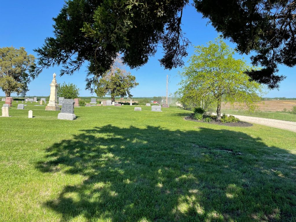
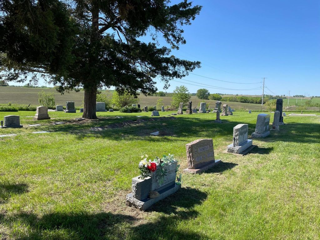
| Memorials | : | 13 |
| Location | : | Easton, Leavenworth County, USA |
| Coordinate | : | 39.3616982, -95.1611023 |
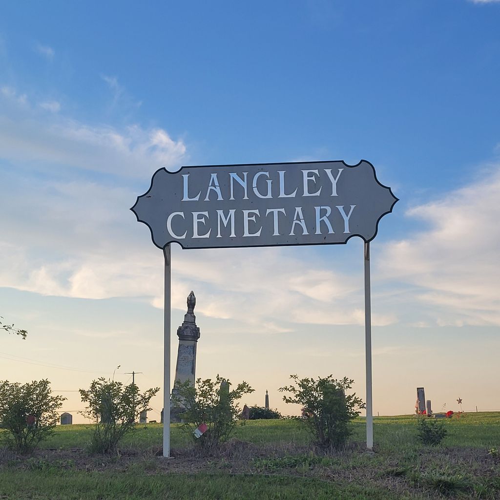
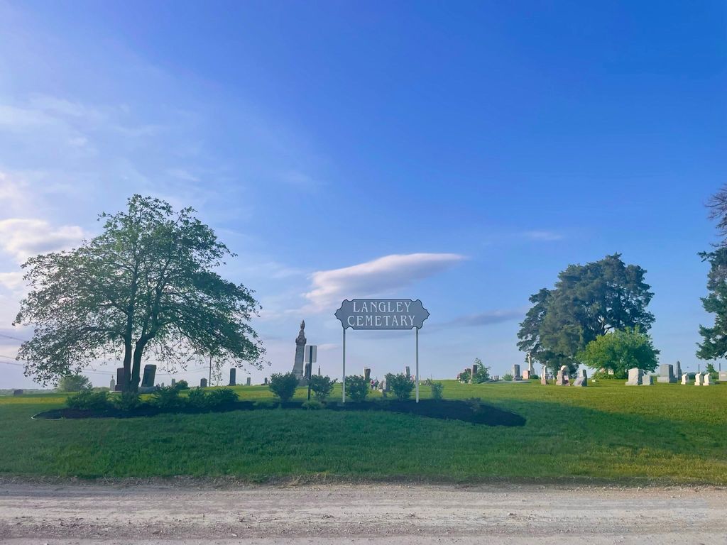
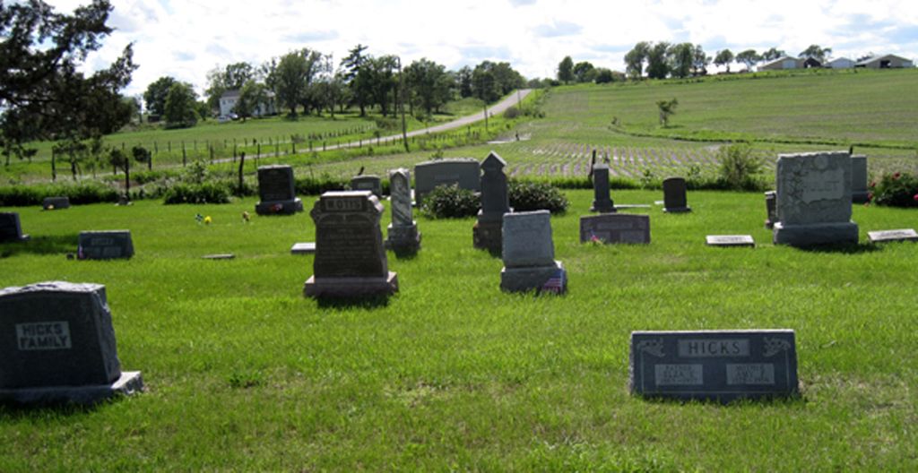
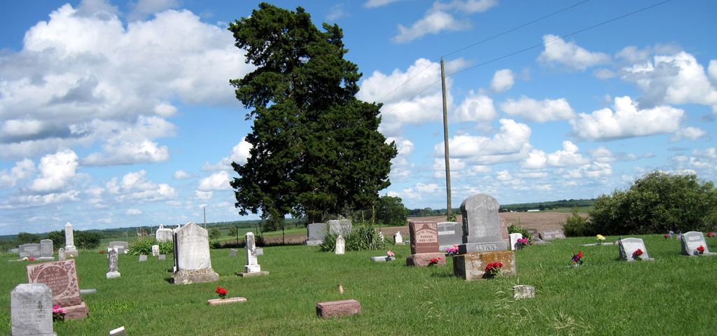
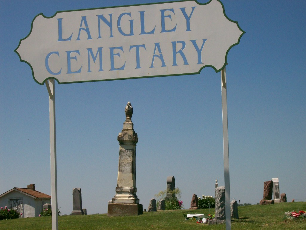
| Description | : | Langley Cemetery was established in July 1857 by Michael Heland & Lydia A. (Price) Langley when their 8-month-old son, Franklin Berry Langley died shortly after they settled in what was then, Kansas Territory. It is said the location was chosen by Lydia, so she could look out her kitchen window and see the graveyard. The Langley homestead, which no longer remains, set directly east of the cemetery. The one-acre tract of land was sold to Michael Heland & Lydia A. Langley for the sum of one dollar by Silas H. Langley for the purpose of establishing a cemetery in... Read More |
frequently asked questions (FAQ):
-
Where is Langley Cemetery?
Langley Cemetery is located at Seven Sisters Road Easton, Leavenworth County ,Kansas , 66020USA.
-
Langley Cemetery cemetery's updated grave count on graveviews.com?
13 memorials
-
Where are the coordinates of the Langley Cemetery?
Latitude: 39.3616982
Longitude: -95.1611023
Nearby Cemetories:
1. Saint Lawrence Cemetery
Easton, Leavenworth County, USA
Coordinate: 39.3443985, -95.1335983
2. Evergreen Cemetery
Millwood, Leavenworth County, USA
Coordinate: 39.3833008, -95.1333008
3. Easton Cemetery
Easton, Leavenworth County, USA
Coordinate: 39.3395882, -95.1237793
4. Saint Johns Lutheran Cemetery
Millwood, Leavenworth County, USA
Coordinate: 39.4042015, -95.1386032
5. Oak Hill Cemetery
Millwood, Leavenworth County, USA
Coordinate: 39.3833008, -95.0943985
6. Stranger Creek Cemetery
Easton, Leavenworth County, USA
Coordinate: 39.3211100, -95.1016700
7. Fairview Cemetery
Potter, Atchison County, USA
Coordinate: 39.4239006, -95.1613998
8. Hull Grove Cemetery
Winchester, Jefferson County, USA
Coordinate: 39.3630981, -95.2435989
9. Corpus Christi Cemetery
Winchester, Jefferson County, USA
Coordinate: 39.3908005, -95.2394028
10. Sparks Cemetery
Easton, Leavenworth County, USA
Coordinate: 39.2958336, -95.1355591
11. Springhill Cemetery
Potter, Atchison County, USA
Coordinate: 39.4303589, -95.2025375
12. Lamar-Rogers Cemetery
Jefferson County, USA
Coordinate: 39.3867400, -95.2604900
13. Mount Olivet Cemetery
Easton, Leavenworth County, USA
Coordinate: 39.3385010, -95.0582962
14. Round Prairie Cemetery
Lowemont, Leavenworth County, USA
Coordinate: 39.4122009, -95.0738983
15. Wise Cemetery
Winchester, Jefferson County, USA
Coordinate: 39.3107986, -95.2485962
16. Reformed Presbyterian Church Cemetery
Winchester, Jefferson County, USA
Coordinate: 39.3258100, -95.2680400
17. Mount Pleasant Cemetery
Potter, Atchison County, USA
Coordinate: 39.4520187, -95.1412964
18. Old Young Cemetery
Potter, Atchison County, USA
Coordinate: 39.4480782, -95.1176071
19. Hays Cemetery
Oak Mills, Atchison County, USA
Coordinate: 39.4370300, -95.0883700
20. Springdale Cemetery
Springdale, Leavenworth County, USA
Coordinate: 39.2672200, -95.1413900
21. Mary Ackley Gravesite
Leavenworth County, USA
Coordinate: 39.3317300, -95.0402100
22. Pleasant Ridge Cemetery
Lowemont, Leavenworth County, USA
Coordinate: 39.3792000, -95.0344009
23. Bethel Cemetery
Springdale, Leavenworth County, USA
Coordinate: 39.2846985, -95.0777969
24. Round Mound Cemetery
Cummings, Atchison County, USA
Coordinate: 39.4646988, -95.1908035