
| Memorials | : | 0 |
| Location | : | Stavanger, Stavanger kommune, Norway |
| Coordinate | : | 58.9526990, 5.6443770 |
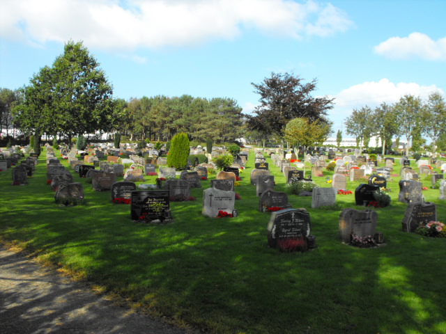
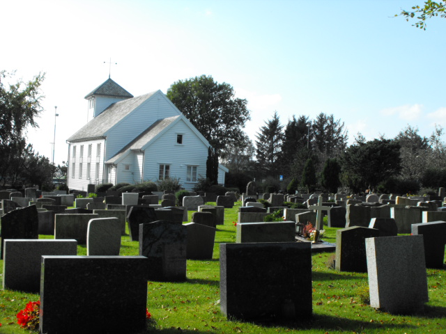
| Description | : | Cemetery divided into two sections. Visible from the road is the church and burials in the churchyard and adjacent side section. There is much larger new section in the back of the churchyard accessible by a paved path from the parking area. West out of Stavanger on 509 about 5 kilometers past the sports arenas. Church is on the left hand side of the road with the larger cemetery in the back. |
frequently asked questions (FAQ):
-
Where is Revheim Kirkegaard?
Revheim Kirkegaard is located at Stavanger, Stavanger kommune ,Rogaland fylke ,Norway.
-
Revheim Kirkegaard cemetery's updated grave count on graveviews.com?
0 memorials
-
Where are the coordinates of the Revheim Kirkegaard?
Latitude: 58.9526990
Longitude: 5.6443770
Nearby Cemetories:
1. Tananger Kirkegaard
Tananger, Sola kommune, Norway
Coordinate: 58.9349660, 5.6009390
2. Tjensvoll Cemetery
Stavanger, Stavanger kommune, Norway
Coordinate: 58.9534480, 5.7094430
3. Eiganes Churchyard
Stavanger, Stavanger kommune, Norway
Coordinate: 58.9674140, 5.7190720
4. Egenes Kirkegard
Stavanger, Stavanger kommune, Norway
Coordinate: 58.9718000, 5.7220150
5. Hinna Gravlund
Sandnes, Sandnes kommune, Norway
Coordinate: 58.9222450, 5.7129430
6. Randaberg Church Cemetery
Randaberg, Randaberg kommune, Norway
Coordinate: 58.9997720, 5.6189110
7. Lagaard Cemetery
Stavanger, Stavanger kommune, Norway
Coordinate: 58.9640950, 5.7380250
8. Tjora Kirkegaard
Sola, Sola kommune, Norway
Coordinate: 58.9072340, 5.6034830
9. Hetland Cemetery
Stavanger, Stavanger kommune, Norway
Coordinate: 58.9680110, 5.7408860
10. Grødem Kirke Cemetery
Grodeim, Randaberg kommune, Norway
Coordinate: 59.0089560, 5.6502660
11. Sola Churchyard
Sola, Sola kommune, Norway
Coordinate: 58.8902990, 5.6197140
12. Hundvaag Kirkegaard
Stavanger, Stavanger kommune, Norway
Coordinate: 58.9972620, 5.7337970
13. Soma Gravlund
Sandnes, Sandnes kommune, Norway
Coordinate: 58.8603440, 5.7016680
14. Raege kirke
Sola, Sola kommune, Norway
Coordinate: 58.8553469, 5.6093177
15. Sandnes Nye Cemetery
Sandnes, Sandnes kommune, Norway
Coordinate: 58.8485720, 5.7282690
16. Askje Kirke
Askje, Rennesøy kommune, Norway
Coordinate: 59.0636760, 5.6867740
17. Gand Cemetery
Sandnes, Sandnes kommune, Norway
Coordinate: 58.8450290, 5.7269550
18. Sandnes Gamle Cemetery
Sandnes, Sandnes kommune, Norway
Coordinate: 58.8450100, 5.7273650
19. Høyland Cemetery
Sandnes, Sandnes kommune, Norway
Coordinate: 58.8308000, 5.7498000
20. Østhusvik
Osthusvik, Rennesøy kommune, Norway
Coordinate: 59.0859520, 5.7650760
21. Utstein Kloster
Askje, Rennesøy kommune, Norway
Coordinate: 59.1029350, 5.5920310
22. Bore Church Cemetery
Klepp, Klepp kommune, Norway
Coordinate: 58.7947860, 5.5989930
23. Kvitsøy
Kvitsøy kommune, Norway
Coordinate: 59.0638965, 5.4163352
24. Sørbø Church Cemetery
Vikevag, Rennesøy kommune, Norway
Coordinate: 59.1278680, 5.6437970