
| Memorials | : | 5 |
| Location | : | Rochford, Pennington County, USA |
| Phone | : | 6055452266 |
| Coordinate | : | 44.0875667, -103.8027265 |
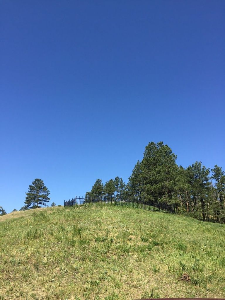
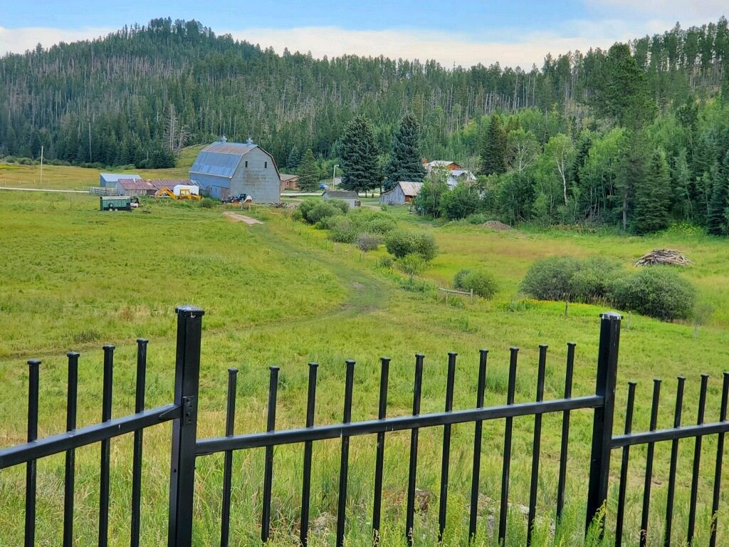
| Description | : | The Reynolds Ranch Cemetery is located on the old Reynolds Ranch, North Castle Creek area of the Black Hills of South Dakota. Early Pioneers of the Black Hills, Joseph Totten Reynolds and Emma Lucia (Owen) Reynolds' homestead still stands, and their descendents buried there. |
frequently asked questions (FAQ):
-
Where is Reynolds Ranch Cemetery?
Reynolds Ranch Cemetery is located at 22875South Rochford Road Rochford, Pennington County ,South Dakota , 57745USA.
-
Reynolds Ranch Cemetery cemetery's updated grave count on graveviews.com?
5 memorials
-
Where are the coordinates of the Reynolds Ranch Cemetery?
Latitude: 44.0875667
Longitude: -103.8027265

Nearby Cemetories:
1. Bell Park Cemetery
Rochford, Pennington County, USA
Coordinate: 44.1116982, -103.7466965
2. Dumont Cemetery
Lawrence County, USA
Coordinate: 44.2270000, -103.7860000
3. Mountain Meadow Cemetery
Lawrence County, USA
Coordinate: 44.2038994, -103.6557999
4. Carr Cemetery
Hanna, Lawrence County, USA
Coordinate: 44.2411003, -103.8606033
5. Holy Cross Cemetery
Englewood, Lawrence County, USA
Coordinate: 44.2818985, -103.8047028
6. Mountain Lawn Cemetery
Englewood, Lawrence County, USA
Coordinate: 44.2818985, -103.8047028
7. Roubaix Cemetery
Roubaix, Lawrence County, USA
Coordinate: 44.2789380, -103.6656600
8. Hill City Cemetery
Hill City, Pennington County, USA
Coordinate: 43.9366270, -103.5789730
9. Boyd Cemetery
Weston County, USA
Coordinate: 44.0774994, -104.1192017
10. Nemo Cemetery
Nemo, Lawrence County, USA
Coordinate: 44.1872800, -103.5066410
11. Terry Cemetery
Terry, Lawrence County, USA
Coordinate: 44.3344290, -103.8165110
12. Saint Alberts Catholic Cemetery
Weston County, USA
Coordinate: 44.1082340, -104.1581150
13. West Lead Cemetery
Lead, Lawrence County, USA
Coordinate: 44.3484001, -103.7779999
14. South Lead Cemetery
Lead, Lawrence County, USA
Coordinate: 44.3478510, -103.7606260
15. McGillycuddy Monument
Pennington County, USA
Coordinate: 43.8865110, -103.5670850
16. Galena Cemetery
Galena, Lawrence County, USA
Coordinate: 44.3349220, -103.6438410
17. Preston Ghost Town Cemetery
Preston, Lawrence County, USA
Coordinate: 44.3577500, -103.8871670
18. Thunderhead Mountain
Custer, Custer County, USA
Coordinate: 43.8346510, -103.6221890
19. Mount Moriah Cemetery
Deadwood, Lawrence County, USA
Coordinate: 44.3760986, -103.7253036
20. Saint Ambrose Cemetery
Deadwood, Lawrence County, USA
Coordinate: 44.3821983, -103.7266998
21. Oak Ridge Cemetery
Deadwood, Lawrence County, USA
Coordinate: 44.3891983, -103.6766968
22. Carbonate Cemetery
Maurice, Lawrence County, USA
Coordinate: 44.4000000, -103.8680500
23. Green Mountain Cemetery
Horton, Weston County, USA
Coordinate: 44.1646996, -104.2397003
24. Cambria Cemetery
Weston County, USA
Coordinate: 43.9543991, -104.2133026