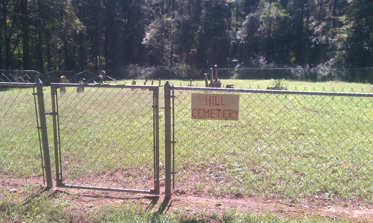
| Memorials | : | 1 |
| Location | : | Franklin County, USA |
| Coordinate | : | 35.6782990, -93.7742004 |
| Description | : | This cemetery is in Franklin County, Arkansas From Oark, go west on #215 for 13.5 miles to Forest Service Road #1504 [commonly called Morgan Mountain Road]. You should park at this intersection. From Ozark, go north on Highway 23 to Cass. Turn east on Highway 215 just north of Cass and go 3 miles to the intersection of #215 and Forest Service Road #1504 [commonly called Morgan Mountain Road] – you should park at this intersection, which is 2/10th of a mile past the entrance to Redding Campground. At the intersection of FS #1504 and #215 –... Read More |
frequently asked questions (FAQ):
-
Where is Richard W. Dick Hill Cemetery?
Richard W. Dick Hill Cemetery is located at Franklin County ,Arkansas ,USA.
-
Richard W. Dick Hill Cemetery cemetery's updated grave count on graveviews.com?
0 memorials
-
Where are the coordinates of the Richard W. Dick Hill Cemetery?
Latitude: 35.6782990
Longitude: -93.7742004
Nearby Cemetories:
1. Welton Cemetery
Ozark, Franklin County, USA
Coordinate: 35.6814630, -93.7881090
2. Beach Grove Cemetery
Beach Grove, Franklin County, USA
Coordinate: 35.6772960, -93.7411340
3. Morgan Cemetery
Franklin County, USA
Coordinate: 35.6617012, -93.8097000
4. Lone Pine Cemetery
Franklin County, USA
Coordinate: 35.6543999, -93.7433014
5. McIroy Cemetery
Franklin County, USA
Coordinate: 35.6805992, -93.8274994
6. Turner Bend Cemetery
Cass, Franklin County, USA
Coordinate: 35.6613998, -93.8283005
7. Elias Turner Cemetery
Cass, Franklin County, USA
Coordinate: 35.6733017, -93.8356018
8. Plymale Cemetery
Franklin County, USA
Coordinate: 35.6391983, -93.8178024
9. Plymale - Barnes Cemetery
Franklin County, USA
Coordinate: 35.6381980, -93.8190220
10. Childers Cemetery
Franklin County, USA
Coordinate: 35.6347008, -93.8339005
11. Francis Marion Baker Grave
West Cobb, Franklin County, USA
Coordinate: 35.7347000, -93.7137100
12. Hall Cemetery
Cass, Franklin County, USA
Coordinate: 35.7547200, -93.7749400
13. Handchew Cemetery
Franklin County, USA
Coordinate: 35.6021996, -93.7855988
14. Cobb Homeplace Cemetery
Franklin County, USA
Coordinate: 35.7461000, -93.7240800
15. Morgan Cemetery
Franklin County, USA
Coordinate: 35.7546997, -93.8022003
16. Cass Cemetery
Cass, Franklin County, USA
Coordinate: 35.7547720, -93.8026320
17. Sanders Homestead Grave
Cass, Franklin County, USA
Coordinate: 35.7516150, -93.8163400
18. West View Cemetery
Mountain Top, Franklin County, USA
Coordinate: 35.6007996, -93.8082962
19. Milton Cemetery
Franklin County, USA
Coordinate: 35.6409900, -93.8676100
20. James Cemetery
Watalula, Franklin County, USA
Coordinate: 35.5983090, -93.8268967
21. Hickory Grove Cemetery
Ozark, Franklin County, USA
Coordinate: 35.5923990, -93.7337060
22. Yager Cemetery
Johnson County, USA
Coordinate: 35.7178001, -93.6716995
23. Brendle Cemetery
Johnson County, USA
Coordinate: 35.6116982, -93.6911011
24. Harris Cemetery
Franklin County, USA
Coordinate: 35.5946999, -93.8311005

