
| Memorials | : | 0 |
| Location | : | Ozark County, USA |
| Coordinate | : | 36.6531600, -92.6288300 |
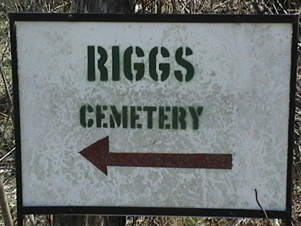
| Description | : | Samuel Catherwood gave each of his 3 daughters and 2 stepdaughters a piece of land when he died. Cindy Catherwood Riggs inherited the section where the cemetery is. Thus calling it "Riggs cemetery." The government took some of Cindys sister Margrets land to build the Bull Shoals Dam, they gave her money for it. With the money, Margret had the cemetery fenced in and bought tombstones for a lot of the graves. |
frequently asked questions (FAQ):
-
Where is Riggs Cemetery?
Riggs Cemetery is located at Ozark County ,Missouri ,USA.
-
Riggs Cemetery cemetery's updated grave count on graveviews.com?
0 memorials
-
Where are the coordinates of the Riggs Cemetery?
Latitude: 36.6531600
Longitude: -92.6288300


Nearby Cemetories:
1. Absher Cemetery
Thornfield, Ozark County, USA
Coordinate: 36.6386600, -92.6448300
2. Baker Cemetery
Thornfield, Ozark County, USA
Coordinate: 36.6250000, -92.6205978
3. Wallace Cemetery
Ozark County, USA
Coordinate: 36.6432991, -92.6832962
4. Tempy Hutchison Cemetery
Ozark County, USA
Coordinate: 36.6057170, -92.6351000
5. Gaulding Cemetery
Ozark County, USA
Coordinate: 36.6506004, -92.5639038
6. Griffith Cemetery
Longrun, Ozark County, USA
Coordinate: 36.6669006, -92.6917038
7. Friend Cemetery
Isabella, Ozark County, USA
Coordinate: 36.5964700, -92.6160600
8. Piland Cemetery
Thornfield, Ozark County, USA
Coordinate: 36.7086101, -92.6591705
9. Thornfield Cemetery
Thornfield, Ozark County, USA
Coordinate: 36.7093400, -92.6574600
10. Thornfield House of Prayer Cemetery
Thornfield, Ozark County, USA
Coordinate: 36.7089950, -92.6595450
11. Welch Cemetery
Ozark County, USA
Coordinate: 36.6741982, -92.7074966
12. Hicks Cemetery
Theodosia, Ozark County, USA
Coordinate: 36.6133003, -92.6996994
13. Isabella Cemetery
Isabella, Ozark County, USA
Coordinate: 36.5831600, -92.6119100
14. Longrun Cemetery
Longrun, Ozark County, USA
Coordinate: 36.6498800, -92.7235600
15. Lutie Cemetery
Theodosia, Ozark County, USA
Coordinate: 36.5828018, -92.6707993
16. Igo-Sallee Cemetery
Pondfork, Ozark County, USA
Coordinate: 36.6972420, -92.7190630
17. Graham and Smith Cemetery
Lutie, Ozark County, USA
Coordinate: 36.6458015, -92.7343979
18. Smith Graham Cemetery
Longrun, Ozark County, USA
Coordinate: 36.6456300, -92.7343900
19. Peters Cemetery
Ozark County, USA
Coordinate: 36.7355995, -92.5868988
20. Wolf Cemetery
Sundown, Ozark County, USA
Coordinate: 36.5639000, -92.6222000
21. Davis Cemetery
Noble, Ozark County, USA
Coordinate: 36.7364006, -92.5808029
22. Piland-Norris Cemetery
Ozark County, USA
Coordinate: 36.7546997, -92.6399994
23. Mahan-Bradley-Buttrum Cemetery
Ozark County, USA
Coordinate: 36.7073056, -92.7435667
24. Franklin Grove Cemetery
Noble, Ozark County, USA
Coordinate: 36.7188988, -92.5227966