| Memorials | : | 0 |
| Location | : | Rockford, Kent County, USA |
| Coordinate | : | 43.1177780, -85.5525000 |
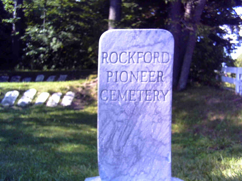
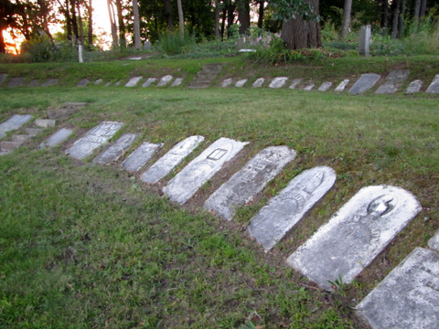
| Description | : | "It is the City's oldest sacred landmark, accessed by a former wagon trail now known as Ten Mile Road/Division St. Established when Rockford was the Village of Laphamville, the Cemetery was originally much larger than the half-acre seen today. After the nearby school was completed in 1960, the property was annexed to the City of Rockford. It would remain virtually untouched until 1967, when Historian Homer Burch and members of the Michigan Archaeological Society launched a research expedition. The group set about locating graves, based on earlier records compiled by the DAR indicating approx. 120 individuals had been buried here between 1849... Read More |
frequently asked questions (FAQ):
-
Where is Rockford Pioneer Cemetery?
Rockford Pioneer Cemetery is located at 10 Mile Road Rockford, Kent County ,Michigan ,USA.
-
Rockford Pioneer Cemetery cemetery's updated grave count on graveviews.com?
0 memorials
-
Where are the coordinates of the Rockford Pioneer Cemetery?
Latitude: 43.1177780
Longitude: -85.5525000
Nearby Cemetories:
1. Rockford Cemetery
Rockford, Kent County, USA
Coordinate: 43.1152992, -85.5522003
2. Briggs Family Cemetery
Rockford, Kent County, USA
Coordinate: 43.1391670, -85.5508330
3. Blythefield Memory Gardens
Belmont, Kent County, USA
Coordinate: 43.0758018, -85.5681000
4. Plainfield Cemetery
Plainfield Township, Kent County, USA
Coordinate: 43.0766983, -85.5899963
5. Oakwood Cemetery
Plainfield Township, Kent County, USA
Coordinate: 43.0636400, -85.5705900
6. Friant Cemetery
Grand Rapids, Kent County, USA
Coordinate: 43.0633080, -85.5700280
7. Courtland Township Cemetery
Rockford, Kent County, USA
Coordinate: 43.1521988, -85.4897003
8. Assumption Cemetery
Belmont, Kent County, USA
Coordinate: 43.0783330, -85.6097220
9. Algoma Township Cemetery
Rockford, Kent County, USA
Coordinate: 43.1563988, -85.6252975
10. Cannonsburg Cemetery
Belmont, Kent County, USA
Coordinate: 43.0647011, -85.4796982
11. Old Bostwick Lake Cemetery
Bostwick Lake, Kent County, USA
Coordinate: 43.0857130, -85.4510380
12. Bostwick Lake Cemetery
Rockford, Kent County, USA
Coordinate: 43.0849991, -85.4449997
13. Saint Lukes Lutheran Church Memorial Garden
Grand Rapids, Kent County, USA
Coordinate: 43.0288740, -85.5882610
14. Garden of the Pines
Grand Rapids, Kent County, USA
Coordinate: 43.0422710, -85.6279260
15. Englishville Cemetery
Comstock Park, Kent County, USA
Coordinate: 43.1041985, -85.6800003
16. Elmwood Cemetery
Cedar Springs, Kent County, USA
Coordinate: 43.2118988, -85.5532990
17. Tower Family Cemetery
Rockford, Kent County, USA
Coordinate: 43.1470280, -85.4219210
18. Pine Grove Cemetery
Comstock Park, Kent County, USA
Coordinate: 43.0757700, -85.6827600
19. Myers Cemetery
Sparta, Kent County, USA
Coordinate: 43.1610985, -85.6857986
20. White Swan Cemetery
Rockford, Kent County, USA
Coordinate: 43.1474991, -85.4119034
21. Fairplains Cemetery
Sparta, Kent County, USA
Coordinate: 43.1528015, -85.6988983
22. Mason Cemetery
Grand Rapids, Kent County, USA
Coordinate: 43.0056000, -85.5849991
23. United Church of Christ Cemetery
Comstock Park, Kent County, USA
Coordinate: 43.0359210, -85.6684260
24. Horton Cemetery
Oakfield Township, Kent County, USA
Coordinate: 43.1767006, -85.4111023


