
| Memorials | : | 0 |
| Location | : | Roermond, Roermond Municipality, Netherlands |
| Coordinate | : | 51.1809800, 6.0012700 |
frequently asked questions (FAQ):
-
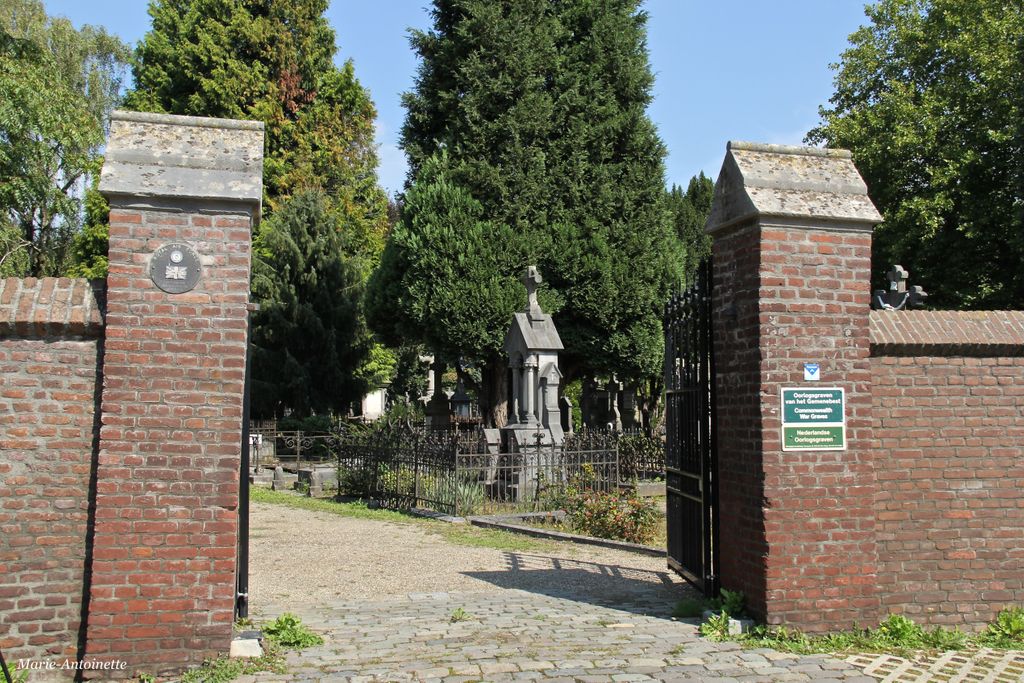
Where is Roermond Kapel in 't Zand Cemetery?
Roermond Kapel in 't Zand Cemetery is located at Roermond, Roermond Municipality ,Limburg ,Netherlands.
-
Roermond Kapel in 't Zand Cemetery cemetery's updated grave count on graveviews.com?
0 memorials
-
Where are the coordinates of the Roermond Kapel in 't Zand Cemetery?
Latitude: 51.1809800
Longitude: 6.0012700
Nearby Cemetories:
1. Oud Joods Begraafplaats
Roermond, Roermond Municipality, Netherlands
Coordinate: 51.1810500, 6.0000700
2. Nieuwe Joods Begraafplaats
Roermond Municipality, Netherlands
Coordinate: 51.1822100, 6.0004300
3. Begraafplaats Tussen de Bergen
Roermond, Roermond Municipality, Netherlands
Coordinate: 51.1722100, 6.0067900
4. Rooms Katholieke Begraafplaats
Maasniel, Roermond Municipality, Netherlands
Coordinate: 51.1987646, 6.0166505
5. R.K. Begraafplaats Herten
Herten, Roermond Municipality, Netherlands
Coordinate: 51.1816113, 5.9643287
6. Begraafplaats Rooms Katholieke kerk Leeuwen
Roermond, Roermond Municipality, Netherlands
Coordinate: 51.2098101, 6.0044129
7. Sint Odiliënberg Roman Catholic Cemetery
Sint Odiliënberg, Roerdalen Municipality, Netherlands
Coordinate: 51.1486600, 5.9988100
8. Linne Roman Catholic Churchyard
Linne, Maasgouw Municipality, Netherlands
Coordinate: 51.1578400, 5.9371900
9. Algemene begraafplaats Bergerkamp
Linne, Maasgouw Municipality, Netherlands
Coordinate: 51.1559829, 5.9302404
10. Buggenum Roman Catholic Cemetery
Buggenum, Leudal Municipality, Netherlands
Coordinate: 51.2317500, 5.9816200
11. Henry Eric Harden Memorial
Brachterbeek, Maasgouw Municipality, Netherlands
Coordinate: 51.1440720, 5.9203340
12. Maasbracht Kerkhof
Maasbracht, Maasgouw Municipality, Netherlands
Coordinate: 51.1500400, 5.8877900
13. Medarduskerkhof
Wessem, Maasgouw Municipality, Netherlands
Coordinate: 51.1579900, 5.8789900
14. Wessem Begraafplaats
Wessem, Maasgouw Municipality, Netherlands
Coordinate: 51.1588700, 5.8777600
15. Beesel Roman Catholic Cemetery
Beesel, Beesel Municipality, Netherlands
Coordinate: 51.2688500, 6.0321500
16. St. Mariä Himmelfahrt Cemetery
Ophoven, Landkreis Heinsberg, Germany
Coordinate: 51.1077915, 6.1017011
17. Sint-Ludwigkapel Begraafplaats
Vlodrop, Roerdalen Municipality, Netherlands
Coordinate: 51.1560100, 6.1502500
18. Abdijkerk
Thorn, Maasgouw Municipality, Netherlands
Coordinate: 51.1606200, 5.8416700
19. Friedhof Elmpt
Niederkruchten, Kreis Viersen, Germany
Coordinate: 51.2149700, 6.1665900
20. Katholieke Begraafplaats
Pey, Echt-Susteren Municipality, Netherlands
Coordinate: 51.0974900, 5.8873700
21. Friedhof Niederkrüchten
Niederkruchten, Kreis Viersen, Germany
Coordinate: 51.2152780, 6.1680930
22. Kessenich Churchyard
Kinrooi, Arrondissement Maaseik, Belgium
Coordinate: 51.1509000, 5.8249600
23. Pey Begraafplaats
Pey, Echt-Susteren Municipality, Netherlands
Coordinate: 51.0937535, 5.8733765
24. Wegberg-Dalheim Cemetery
Wegberg, Landkreis Heinsberg, Germany
Coordinate: 51.1428467, 6.1806276